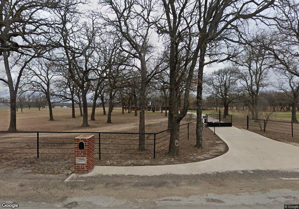
5936 Sabathney Rd Weatherford, TX 76085
Estimated Value: $595,000
--
Bed
--
Bath
2,842
Sq Ft
$209/Sq Ft
Est. Value
About This Home
This home is located at 5936 Sabathney Rd, Weatherford, TX 76085 and is currently estimated at $595,000, approximately $209 per square foot. 5936 Sabathney Rd is a home located in Parker County with nearby schools including Cross Timbers Elementary School, W E Hoover Elementary School, and Santo Forte Junior High School.
Ownership History
Date
Name
Owned For
Owner Type
Purchase Details
Closed on
Jul 3, 2014
Sold by
Simmons Melba F and Simmons Tommy Kenneth
Bought by
Simmons Melba and Mayhall Tina Ann
Current Estimated Value
Purchase Details
Closed on
Jan 8, 2003
Sold by
Mayhall Dennis L
Bought by
Simmons Trust Tommy And Melba
Create a Home Valuation Report for This Property
The Home Valuation Report is an in-depth analysis detailing your home's value as well as a comparison with similar homes in the area
Home Values in the Area
Average Home Value in this Area
Purchase History
| Date | Buyer | Sale Price | Title Company |
|---|---|---|---|
| Simmons Melba | -- | None Available | |
| Simmons Trust Tommy And Melba | -- | -- |
Source: Public Records
Tax History Compared to Growth
Tax History
| Year | Tax Paid | Tax Assessment Tax Assessment Total Assessment is a certain percentage of the fair market value that is determined by local assessors to be the total taxable value of land and additions on the property. | Land | Improvement |
|---|---|---|---|---|
| 2025 | $1,883 | $487,315 | -- | -- |
| 2024 | $1,883 | $443,014 | -- | -- |
| 2023 | $1,883 | $402,740 | $0 | $0 |
| 2022 | $6,775 | $419,390 | $57,200 | $362,190 |
| 2021 | $6,453 | $419,390 | $57,200 | $362,190 |
| 2020 | $5,835 | $302,590 | $14,750 | $287,840 |
| 2019 | $6,184 | $302,590 | $14,750 | $287,840 |
| 2018 | $5,752 | $282,640 | $21,340 | $261,300 |
| 2017 | $4,983 | $282,640 | $21,340 | $261,300 |
| 2016 | $4,530 | $231,870 | $21,340 | $210,530 |
| 2015 | $1,463 | $231,870 | $21,340 | $210,530 |
| 2014 | $3,819 | $222,670 | $21,340 | $201,330 |
Source: Public Records
Map
Nearby Homes
- 2009 Cypress Ct
- 2004 Cypress Ct
- 2000 Cypress Ct
- 1113 Silver Sage Trail
- 1114 Silver Sage Trail
- 1106 Silver Sage Trail
- 1024 Silver Sage Trail
- 221 Shady Oaks Dr
- 1050 Silver Sage Trail
- 1046 Silver Sage Trail
- 1033 Silver Sage Trail
- 1057 Silver Sage Trail
- 128 Arunda Ct
- 109 Coolibar Ct
- 105 Ash Ln
- 149 Bryon Dr
- 687 Bent Tree Ln
- The Wilder Plan at Brooks Meadow
- The Ryder Plan at Brooks Meadow
- The Curran Plan at Brooks Meadow
- 6130 Sabathney Rd
- 1700 Michael Ln
- 5910 Sabathney Rd
- 1501 Finney Dr
- 6001 Sabathney Rd
- 1704 Michael Ln
- 1705 Patti Ct
- 1704 Patti Ct
- 1709 Patti Ct
- 1708 Michael Ln
- 5901 Sabathney Rd
- 1701 Billie Dr
- n/a Michael Lane Oak Country
- 1705 Billie Dr
- 5900 Sabathney Dr
- 6144 Sabathney Rd
- 1415 Finney Dr
- 1712 Patti Ct
- 1712 Michael Ln
- 1713 Michael Ln