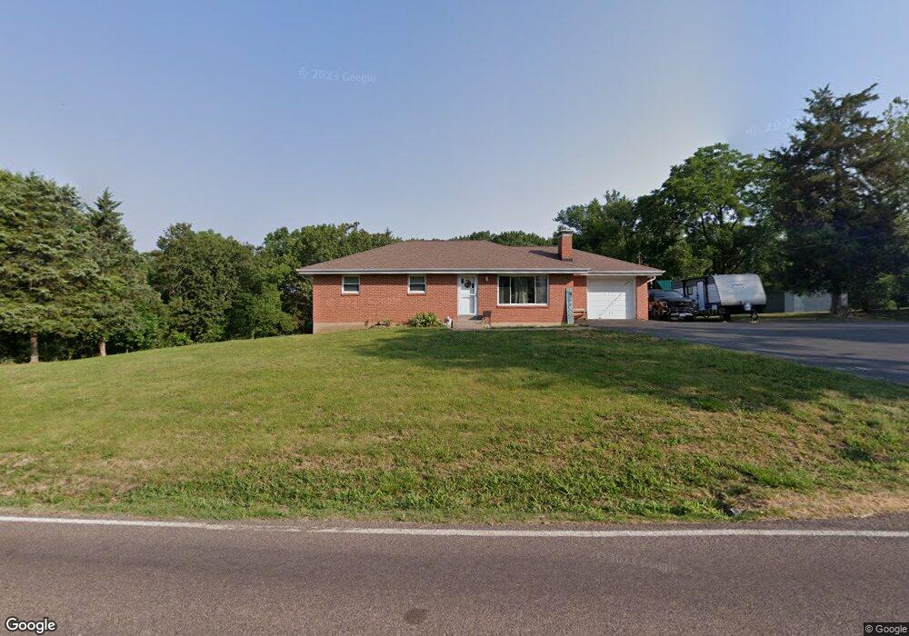
5937 Antire Rd High Ridge, MO 63049
Estimated Value: $168,902 - $221,000
--
Bed
--
Bath
1,134
Sq Ft
$181/Sq Ft
Est. Value
About This Home
This home is located at 5937 Antire Rd, High Ridge, MO 63049 and is currently estimated at $204,976, approximately $180 per square foot. 5937 Antire Rd is a home located in Jefferson County with nearby schools including Northwest High School and St. Anthony School.
Ownership History
Date
Name
Owned For
Owner Type
Purchase Details
Closed on
May 18, 2023
Sold by
Briggs William Allen and Briggs Taylor
Bought by
Jefferson County Missouri
Current Estimated Value
Purchase Details
Closed on
Jan 11, 2011
Sold by
Briggs William A
Bought by
Briggs William Allen
Home Financials for this Owner
Home Financials are based on the most recent Mortgage that was taken out on this home.
Original Mortgage
$81,378
Interest Rate
5.25%
Mortgage Type
FHA
Purchase Details
Closed on
Jul 12, 2010
Sold by
Briggs Vernon L and Briggs Elberta
Bought by
Briggs William A
Create a Home Valuation Report for This Property
The Home Valuation Report is an in-depth analysis detailing your home's value as well as a comparison with similar homes in the area
Home Values in the Area
Average Home Value in this Area
Purchase History
| Date | Buyer | Sale Price | Title Company |
|---|---|---|---|
| Jefferson County Missouri | $715 | None Listed On Document | |
| Briggs William Allen | -- | Htc | |
| Briggs William A | -- | None Available |
Source: Public Records
Mortgage History
| Date | Status | Borrower | Loan Amount |
|---|---|---|---|
| Previous Owner | Briggs William Allen | $81,378 |
Source: Public Records
Tax History Compared to Growth
Tax History
| Year | Tax Paid | Tax Assessment Tax Assessment Total Assessment is a certain percentage of the fair market value that is determined by local assessors to be the total taxable value of land and additions on the property. | Land | Improvement |
|---|---|---|---|---|
| 2025 | $1,336 | $20,100 | $2,300 | $17,800 |
| 2024 | $1,336 | $18,500 | $2,300 | $16,200 |
| 2023 | $1,336 | $18,500 | $2,300 | $16,200 |
| 2022 | $1,330 | $18,500 | $2,300 | $16,200 |
| 2021 | $1,322 | $18,500 | $2,300 | $16,200 |
| 2020 | $1,215 | $16,600 | $2,100 | $14,500 |
| 2019 | $1,213 | $16,600 | $2,100 | $14,500 |
| 2018 | $1,229 | $16,600 | $2,100 | $14,500 |
| 2017 | $1,123 | $16,600 | $2,100 | $14,500 |
| 2016 | $1,038 | $15,200 | $2,100 | $13,100 |
| 2015 | $1,066 | $15,200 | $2,100 | $13,100 |
| 2013 | -- | $14,500 | $1,900 | $12,600 |
Source: Public Records
Map
Nearby Homes
- 2909 Hilgert Dr
- 2905 Carol Ln
- 2715 Royal Oak Dr
- 5707 Werner Dr
- 5800 5800 St Rd Pp
- 3008 High Ridge Dr
- 6152 Franks Rd
- 2460 Huntress Hill Ln
- 2801 High Ridge Blvd
- 6752 Walnut Valley Dr
- 0 3 Lot Blk 2 High Ridge Manor Unit MAR24044893
- 2908 Elderwood Cir
- 6029 Timber Hollow Ln
- 9 Amber Ridge Ct
- 3022 Timber View Dr
- TBD State Route 30
- 2436 Hillsboro Valley Park Rd
- 0 High Ridge Manor Resub Lot 6 Unit MIS25065011
- 0 High Ridge Manor Resub Lot 6 Unit MIS25049757
- 0 High Ridge Manor Resub Lot 7 Unit MAR25011806