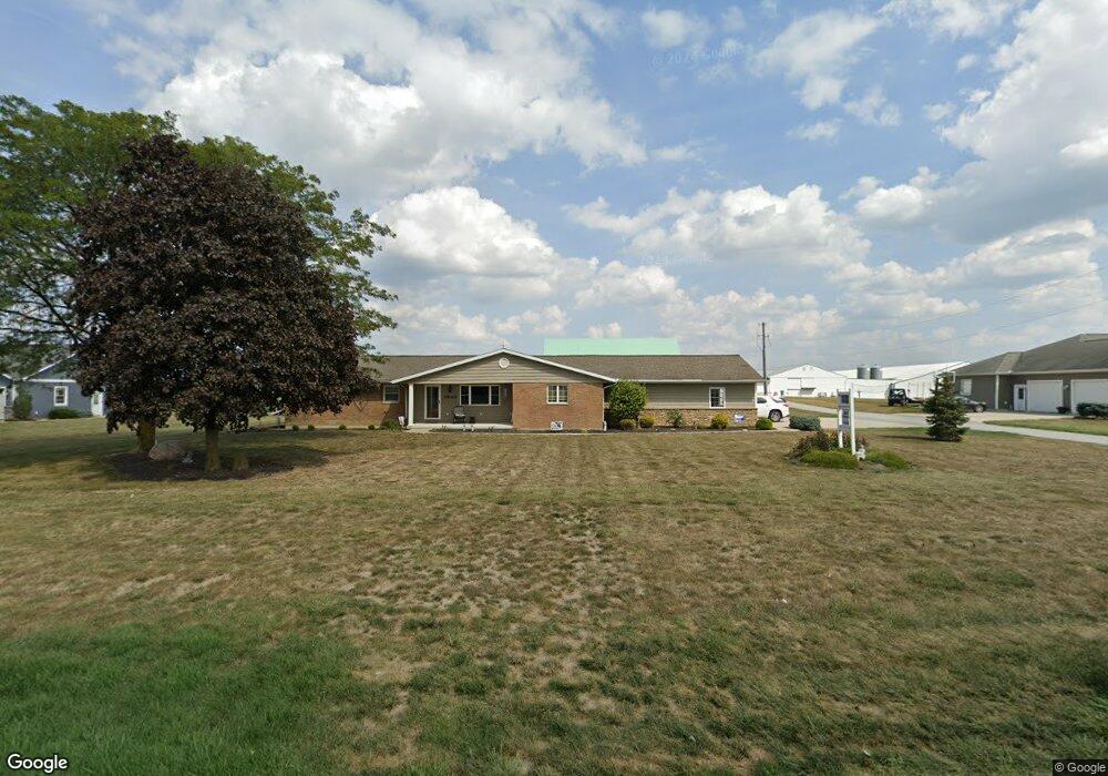
5938 State Route 49 Fort Recovery, OH 45846
Estimated Value: $272,000 - $317,000
3
Beds
3
Baths
2,219
Sq Ft
$133/Sq Ft
Est. Value
About This Home
This home is located at 5938 State Route 49, Fort Recovery, OH 45846 and is currently estimated at $295,346, approximately $133 per square foot. 5938 State Route 49 is a home located in Mercer County with nearby schools including Coldwater Elementary School, Coldwater Middle School, and Coldwater High School.
Ownership History
Date
Name
Owned For
Owner Type
Purchase Details
Closed on
Dec 21, 2017
Sold by
Muhlenkamp Bonita M and Muhlenkamp Terry L
Bought by
Muhlenkamp Bonita M
Current Estimated Value
Purchase Details
Closed on
Jan 18, 2017
Sold by
Muhlenkamp Terry L and Muhlenkamp Bonita M
Bought by
Muhlenkamp Terry L and Muhlenkamp Bonita M
Purchase Details
Closed on
Feb 1, 2002
Bought by
Muhlenkamp Terry and Muhlenkamp Bonita
Create a Home Valuation Report for This Property
The Home Valuation Report is an in-depth analysis detailing your home's value as well as a comparison with similar homes in the area
Home Values in the Area
Average Home Value in this Area
Purchase History
| Date | Buyer | Sale Price | Title Company |
|---|---|---|---|
| Muhlenkamp Bonita M | -- | None Available | |
| Muhlenkamp Terry L | -- | Attorney | |
| Muhlenkamp Terry | $72,000 | -- |
Source: Public Records
Tax History Compared to Growth
Tax History
| Year | Tax Paid | Tax Assessment Tax Assessment Total Assessment is a certain percentage of the fair market value that is determined by local assessors to be the total taxable value of land and additions on the property. | Land | Improvement |
|---|---|---|---|---|
| 2024 | $2,479 | $75,150 | $9,980 | $65,170 |
| 2023 | $2,479 | $75,150 | $9,980 | $65,170 |
| 2022 | $2,409 | $65,910 | $6,370 | $59,540 |
| 2021 | $2,422 | $65,910 | $6,370 | $59,540 |
| 2020 | $2,301 | $65,910 | $6,370 | $59,540 |
| 2019 | $2,129 | $58,910 | $5,780 | $53,130 |
| 2018 | $2,120 | $58,910 | $5,780 | $53,130 |
| 2017 | $2,097 | $58,910 | $5,780 | $53,130 |
| 2016 | $2,069 | $56,390 | $5,670 | $50,720 |
| 2015 | $1,999 | $56,390 | $5,670 | $50,720 |
| 2014 | $1,977 | $55,370 | $5,670 | $49,700 |
| 2013 | $2,027 | $51,240 | $5,250 | $45,990 |
Source: Public Records
Map
Nearby Homes
- 1291 State Route 219
- 2332 State Route 29
- 6699 Gause Rd
- 912 Emerald Ave
- 304 S Wayne St
- 201 W Wiggs St
- 821 Butler St
- 820 Mary Ln
- 6799 Debra Ave
- 401 N Cedar St
- 0 Anderson Lots 10 11 & 12 Ln Unit 1037885
- 0 Springer 1-6 & Roadway 14-16 Unit 1037883
- 0 Anderson 13&14 & Roadway 12&13 Unit 1037886
- 2160 E 800 N
- 501 N 2nd St
- 4640 Sierra Dr
- 420 S 1st St
- 6764 Silver Lakes Dr
- 314 E North St
- 402 E Elizabeth St
- 5954 State Route 49
- 5924 State Route 49
- 6130 State Route 49
- 700 Pine Rd
- 705 Pine Rd
- 279 Saint Anthony Rd
- 5597 State Route 49
- 160 Pine Rd
- 791 Pine Rd
- 5585 State Route 49
- 813 Pine Rd
- 5561 State Route 49
- 831 Pine Rd
- 5555 State Route 49
- 5541 State Route 49
- 5530 State Route 49
- 162 Pine Rd
- 5529 State Route 49
- 5523 State Route 49
- 5520 State Route 49