5938 W 117th Ave Crown Point, IL 46307
Estimated Value: $929,000 - $1,853,493
4
Beds
4
Baths
6,364
Sq Ft
$219/Sq Ft
Est. Value
About This Home
This home is located at 5938 W 117th Ave, Crown Point, IL 46307 and is currently estimated at $1,391,247, approximately $218 per square foot. 5938 W 117th Ave is a home located in Lake County with nearby schools including Douglas MacArthur Elementary School, Robert Taft Middle School, and Crown Point High School.
Ownership History
Date
Name
Owned For
Owner Type
Purchase Details
Closed on
Oct 1, 2021
Sold by
Splegel Jeanne M and Clark Harold
Bought by
Jurkovic Boris
Current Estimated Value
Purchase Details
Closed on
Jan 10, 2005
Sold by
Spiegel Jeanne M
Bought by
Spiegel Jeanne M and Clark Harold
Home Financials for this Owner
Home Financials are based on the most recent Mortgage that was taken out on this home.
Original Mortgage
$637,000
Interest Rate
5.78%
Mortgage Type
New Conventional
Create a Home Valuation Report for This Property
The Home Valuation Report is an in-depth analysis detailing your home's value as well as a comparison with similar homes in the area
Home Values in the Area
Average Home Value in this Area
Purchase History
| Date | Buyer | Sale Price | Title Company |
|---|---|---|---|
| Jurkovic Boris | $956,000 | None Available | |
| Spiegel Jeanne M | -- | -- |
Source: Public Records
Mortgage History
| Date | Status | Borrower | Loan Amount |
|---|---|---|---|
| Previous Owner | Spiegel Jeanne M | $637,000 |
Source: Public Records
Tax History Compared to Growth
Tax History
| Year | Tax Paid | Tax Assessment Tax Assessment Total Assessment is a certain percentage of the fair market value that is determined by local assessors to be the total taxable value of land and additions on the property. | Land | Improvement |
|---|---|---|---|---|
| 2024 | $34,664 | $1,688,000 | $195,700 | $1,492,300 |
| 2023 | $29,458 | $1,631,100 | $189,800 | $1,441,300 |
| 2022 | $27,720 | $1,484,800 | $183,500 | $1,301,300 |
| 2021 | $24,469 | $1,373,400 | $174,200 | $1,199,200 |
| 2020 | $25,043 | $1,331,500 | $174,100 | $1,157,400 |
| 2019 | $24,705 | $1,302,200 | $178,500 | $1,123,700 |
| 2018 | $26,289 | $1,273,400 | $179,200 | $1,094,200 |
| 2017 | $24,890 | $1,226,400 | $183,000 | $1,043,400 |
| 2016 | $24,000 | $1,175,000 | $184,700 | $990,300 |
| 2014 | $23,105 | $1,185,100 | $186,200 | $998,900 |
| 2013 | $23,149 | $1,187,000 | $181,500 | $1,005,500 |
Source: Public Records
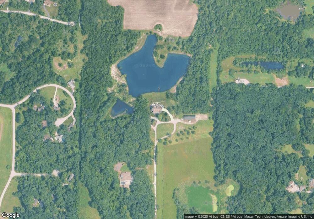
Map
Nearby Homes
- 11217 Burr Parcel 2 St
- 11224 Durbin Place
- 11429 Bell Place
- 11606 Westvalley Dr
- 11531 Westvalley Dr
- 12120 Burr St
- 10729 Hanley St
- 10735 Sherman St
- 5496 W 107th Ct
- 1156 Donegal Ln
- 10710 Porter St
- 1140 Hyde Park
- 4714 W 121st Ave
- 11341 Lakewood St
- 10650 Morse Place
- 10638 Morse Place
- 1144 Mary Ellen Dr
- 10596 Morse Place
- 10650 Morse Place
- 10588 Morse Place
- 5938 W 117th Ave
- 6210 W 117th Ave
- 6100 W 117th Ave
- 6459 W 114th Ct
- 6461 W 114th Ct
- 6439 W 114th Ct
- 6458 W 114th Ct
- 6433 W 115th Ct
- 6424 W 114th Ct
- 6429 W 114th Ct
- 6438 W 114th Ct
- 11460 Burr St
- 6477 W 115th Ct
- 6718 Kathline Ln
- 6080 W 117th Ave
- 6036 W 117th Ave
- 11575 Stevenson St
- 6468 W 113th Ct
- 6004 W 117th Ave
- 6304 W 117th Ave