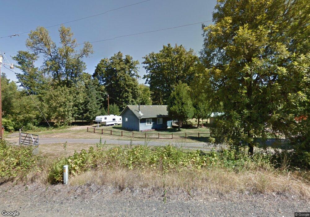
5939 Hayhurst Rd Yoncalla, OR 97499
Estimated Value: $347,113 - $425,000
2
Beds
1
Bath
1,316
Sq Ft
$288/Sq Ft
Est. Value
About This Home
This home is located at 5939 Hayhurst Rd, Yoncalla, OR 97499 and is currently estimated at $378,528, approximately $287 per square foot. 5939 Hayhurst Rd is a home located in Douglas County with nearby schools including Yoncalla Elementary School and Yoncalla High School.
Ownership History
Date
Name
Owned For
Owner Type
Purchase Details
Closed on
May 6, 2010
Sold by
Grouse Butte Ranch Llc
Bought by
Freeman Rees G
Current Estimated Value
Home Financials for this Owner
Home Financials are based on the most recent Mortgage that was taken out on this home.
Original Mortgage
$156,000
Outstanding Balance
$103,142
Interest Rate
5.01%
Mortgage Type
VA
Estimated Equity
$275,386
Purchase Details
Closed on
Apr 6, 2010
Sold by
Pearson Delbert S
Bought by
Dobbins Michael R and Dobbins Judith M
Home Financials for this Owner
Home Financials are based on the most recent Mortgage that was taken out on this home.
Original Mortgage
$156,000
Outstanding Balance
$103,142
Interest Rate
5.01%
Mortgage Type
VA
Estimated Equity
$275,386
Create a Home Valuation Report for This Property
The Home Valuation Report is an in-depth analysis detailing your home's value as well as a comparison with similar homes in the area
Home Values in the Area
Average Home Value in this Area
Purchase History
| Date | Buyer | Sale Price | Title Company |
|---|---|---|---|
| Freeman Rees G | -- | None Available | |
| Dobbins Michael R | $156,000 | First American Title Ins Co |
Source: Public Records
Mortgage History
| Date | Status | Borrower | Loan Amount |
|---|---|---|---|
| Open | Dobbins Michael R | $156,000 |
Source: Public Records
Tax History Compared to Growth
Tax History
| Year | Tax Paid | Tax Assessment Tax Assessment Total Assessment is a certain percentage of the fair market value that is determined by local assessors to be the total taxable value of land and additions on the property. | Land | Improvement |
|---|---|---|---|---|
| 2025 | $1,463 | $150,415 | -- | -- |
| 2024 | $1,411 | $146,034 | -- | -- |
| 2023 | $1,372 | $141,781 | $0 | $0 |
| 2022 | $1,334 | $137,648 | $0 | $0 |
| 2021 | $1,297 | $133,638 | $0 | $0 |
| 2020 | $1,261 | $129,749 | $0 | $0 |
| 2019 | $1,226 | $125,967 | $0 | $0 |
| 2018 | $1,193 | $122,298 | $0 | $0 |
| 2017 | $1,160 | $118,739 | $0 | $0 |
| 2016 | $1,128 | $115,285 | $0 | $0 |
| 2015 | $1,097 | $111,923 | $0 | $0 |
| 2014 | $1,067 | $108,659 | $0 | $0 |
| 2013 | -- | $105,490 | $0 | $0 |
Source: Public Records
Map
Nearby Homes
- 841 Skelly Rd
- 485 Andrews Rd
- 1059 Wooley Ct
- 1019 Wooley Ct
- 1039 Wooley Ct
- 1079 Wooley Ct
- 1089 Wooley Ct
- 703 Main St
- 373 Hayhurst Rd
- 792 Clone Ave
- 435 Spruce St
- 504 Silver Ave
- 0 Anne St Unit LOT 3 554545762
- 0 Anne St Unit Lot 1 220196575
- 0 Anne St Unit LOT 1 289234974
- 0 Anne St Unit Lot 3
- 656 Applegate Ave
- 405 Lane Ave
- 173 Main St
- 0 1st St