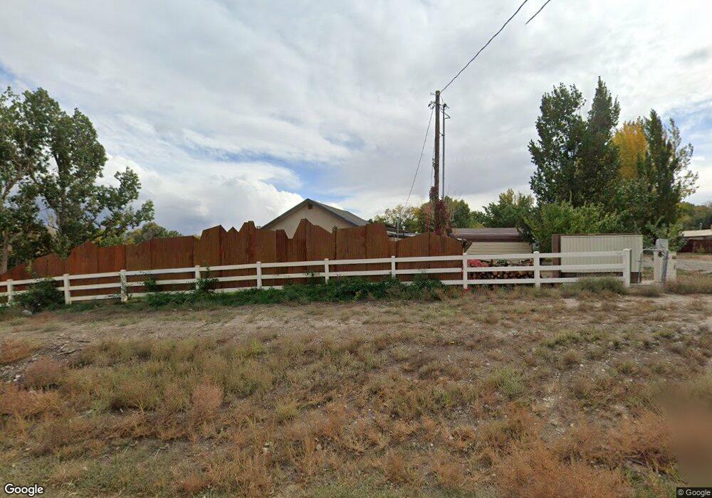
5939 Highway 348 Olathe, CO 81425
Estimated Value: $397,334 - $558,000
2
Beds
2
Baths
1,810
Sq Ft
$259/Sq Ft
Est. Value
About This Home
This home is located at 5939 Highway 348, Olathe, CO 81425 and is currently estimated at $468,334, approximately $258 per square foot. 5939 Highway 348 is a home located in Montrose County with nearby schools including Olathe Elementary School, Olathe Middle and High School, and Olathe Middle School.
Ownership History
Date
Name
Owned For
Owner Type
Purchase Details
Closed on
Jun 9, 2010
Sold by
United States Of America
Bought by
Dwyaer Patrick C and Dwayer Sharon S
Current Estimated Value
Purchase Details
Closed on
Aug 3, 2000
Sold by
District Court Montrose County
Bought by
Dwyer Patrick C and Dwyer Sharon S
Purchase Details
Closed on
Dec 29, 1999
Sold by
Casebier Carol L and Casebier Daniel W
Bought by
Dwyer Patrick C and Dwyer Sharon S
Purchase Details
Closed on
Apr 27, 1998
Sold by
Suttle Fred D and Suttle Lois G
Bought by
Casebier Carol L and Casebier Daniel W
Purchase Details
Closed on
Apr 28, 1969
Sold by
Suttle Arthur C
Bought by
Suttle Fred D
Create a Home Valuation Report for This Property
The Home Valuation Report is an in-depth analysis detailing your home's value as well as a comparison with similar homes in the area
Purchase History
| Date | Buyer | Sale Price | Title Company |
|---|---|---|---|
| Dwyaer Patrick C | -- | None Available | |
| Dwyer Patrick C | -- | -- | |
| Dwyer Patrick C | $46,000 | -- | |
| Casebier Carol L | $22,400 | -- | |
| Dwyer Patrik C | $22,400 | -- | |
| Suttle Fred D | -- | -- |
Source: Public Records
Tax History
| Year | Tax Paid | Tax Assessment Tax Assessment Total Assessment is a certain percentage of the fair market value that is determined by local assessors to be the total taxable value of land and additions on the property. | Land | Improvement |
|---|---|---|---|---|
| 2024 | $1,315 | $25,460 | $4,500 | $20,960 |
| 2023 | $1,315 | $33,060 | $5,340 | $27,720 |
| 2022 | $978 | $22,480 | $2,670 | $19,810 |
| 2021 | $1,011 | $23,130 | $2,750 | $20,380 |
| 2020 | $906 | $21,770 | $2,570 | $19,200 |
| 2019 | $912 | $21,770 | $2,570 | $19,200 |
| 2018 | $799 | $19,660 | $2,150 | $17,510 |
| 2017 | $797 | $19,660 | $2,150 | $17,510 |
| 2016 | $713 | $19,310 | $2,070 | $17,240 |
| 2015 | $1,120 | $19,310 | $2,070 | $17,240 |
| 2014 | $933 | $17,230 | $2,070 | $15,160 |
Source: Public Records
Map
Nearby Homes
- 615 S Church Ave
- 612 S Church Ave
- 6910 High Mesa Rd
- 6859 Church St
- 217 N Highway 50 Business Loop
- 6851 Church Rd
- Lot 2(TBD) Wilson Ave
- TBD Tbd
- TBD N River Rd
- 6617 5700 Rd
- 7528 S River Rd
- 5345 Highway 348
- 7655 6075 Rd
- 7276 5550 Rd
- 59078 Grandpas Trail
- 9550 High Mesa Rd
- 9569 Indian Dr
- TBD 5675 Rd
- 2405 Mesa Dr
- 2350 Mesa Dr