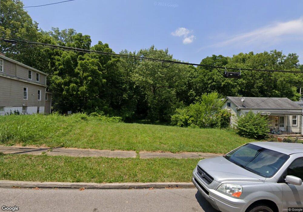
5939 Kenneth Ave Cincinnati, OH 45224
College Hill NeighborhoodEstimated Value: $45,210
3
Beds
1
Bath
1,377
Sq Ft
$33/Sq Ft
Est. Value
About This Home
This home is located at 5939 Kenneth Ave, Cincinnati, OH 45224 and is currently estimated at $45,210, approximately $32 per square foot. 5939 Kenneth Ave is a home located in Hamilton County with nearby schools including Pleasant Hill Elementary School, Robert A. Taft Information Technology High School, and Western Hills High School.
Ownership History
Date
Name
Owned For
Owner Type
Purchase Details
Closed on
Jan 1, 2021
Sold by
Not Given
Bought by
Hamilton County Land Reutilization Corpo
Current Estimated Value
Purchase Details
Closed on
Nov 11, 2009
Sold by
344 Forest Avenue Llc
Bought by
Martinez Juan Carlos Pilar
Purchase Details
Closed on
Sep 24, 1997
Sold by
Spencer Yolanda
Bought by
Spencer Donald
Purchase Details
Closed on
Jun 8, 1994
Sold by
Spencer Stephanie
Bought by
Spencer Yolanda
Create a Home Valuation Report for This Property
The Home Valuation Report is an in-depth analysis detailing your home's value as well as a comparison with similar homes in the area
Home Values in the Area
Average Home Value in this Area
Purchase History
| Date | Buyer | Sale Price | Title Company |
|---|---|---|---|
| Hamilton County Land Reutilization Corpo | -- | None Listed On Document | |
| Martinez Juan Carlos Pilar | $20,000 | Attorney | |
| Spencer Donald | $26,000 | -- | |
| Spencer Yolanda | -- | -- |
Source: Public Records
Tax History
| Year | Tax Paid | Tax Assessment Tax Assessment Total Assessment is a certain percentage of the fair market value that is determined by local assessors to be the total taxable value of land and additions on the property. | Land | Improvement |
|---|---|---|---|---|
| 2025 | -- | $5,439 | $5,439 | -- |
| 2024 | -- | $5,439 | $5,439 | -- |
| 2023 | $1,065 | $5,439 | $5,439 | $0 |
| 2022 | $1,654 | $4,428 | $4,428 | $0 |
| 2021 | $916 | $4,428 | $4,428 | $0 |
| 2020 | $522 | $4,428 | $4,428 | $0 |
| 2019 | $1,716 | $3,885 | $3,885 | $0 |
| 2018 | $1,723 | $3,885 | $3,885 | $0 |
| 2017 | $3,020 | $3,885 | $3,885 | $0 |
| 2016 | $2,993 | $4,144 | $4,144 | $0 |
| 2015 | $2,754 | $4,144 | $4,144 | $0 |
| 2014 | $2,858 | $4,144 | $4,144 | $0 |
| 2013 | $2,668 | $4,274 | $4,274 | $0 |
Source: Public Records
Map
Nearby Homes
- 5940 Kenneth Ave
- 1197 Toluca Ct
- 6071 Lantana Ave
- 1140 Cedar Ave
- 1190 West Way
- 5825 Salvia Ave
- 5679 Folchi Dr
- 6101 Capri Dr
- 6045 Tahiti Dr
- 1620 Linden Dr
- 1565 Reid Ave
- 1552 Reid Ave
- 6027 Budmar Ave
- 6145 Sunridge Dr
- 6229 Station Court Dr
- 1649 Larch Ave
- 6024 Sunridge Dr
- 6227 Station Court Dr
- 6233 Station Court Dr
- 5974 Sunridge Dr
- 5941 Kenneth Ave
- 5933 Kenneth Ave
- 5945 Kenneth Ave
- 5929 Kenneth Ave
- 1180 Atwood Ave
- 5925 Kenneth Ave
- 1178 Atwood Ave
- 5921 Kenneth Ave
- 5944 Kenneth Ave
- 5948 Kenneth Ave
- 1176 Atwood Ave
- 5917 Kenneth Ave
- 1189 Homeside Ave
- 1218 Homeside Ave
- 1214 Homeside Ave
- 1222 Homeside Ave
- 1183 Atwood Ave
- 1210 Homeside Ave
- 5913 Kenneth Ave
- 1174 Atwood Ave
Your Personal Tour Guide
Ask me questions while you tour the home.