594 217th Ave Somerset, WI 54025
Estimated Value: $493,538 - $612,000
4
Beds
3
Baths
--
Sq Ft
3.04
Acres
About This Home
This home is located at 594 217th Ave, Somerset, WI 54025 and is currently estimated at $533,135. 594 217th Ave is a home located in St. Croix County with nearby schools including Somerset Elementary School, Somerset Middle School, and Somerset High School.
Ownership History
Date
Name
Owned For
Owner Type
Purchase Details
Closed on
Aug 8, 2022
Sold by
Eburno and Louise
Bought by
Joseph And Louise Eburno Revocable Trust
Current Estimated Value
Purchase Details
Closed on
Apr 14, 2017
Sold by
Oevering Homes Llc
Bought by
Eburno Joseph and Eburno Louise
Purchase Details
Closed on
Sep 9, 2016
Sold by
Eburno Joseph and Eburno Lou
Bought by
Oevering Homes Llc
Purchase Details
Closed on
Jun 9, 2010
Sold by
Stout Richard O and Stout Janet P
Bought by
Eburno Joseph and Eburno Lou
Purchase Details
Closed on
Feb 18, 2009
Sold by
Grand Properties Lp
Bought by
Stout Richard O and Stout Janet P
Create a Home Valuation Report for This Property
The Home Valuation Report is an in-depth analysis detailing your home's value as well as a comparison with similar homes in the area
Home Values in the Area
Average Home Value in this Area
Purchase History
| Date | Buyer | Sale Price | Title Company |
|---|---|---|---|
| Joseph And Louise Eburno Revocable Trust | -- | Elder Law Llc | |
| Eburno Joseph | $305,100 | St Croix Abstract And Title | |
| Oevering Homes Llc | $43,700 | None Available | |
| Eburno Joseph | $40,000 | None Available | |
| Stout Richard O | -- | None Available |
Source: Public Records
Tax History Compared to Growth
Tax History
| Year | Tax Paid | Tax Assessment Tax Assessment Total Assessment is a certain percentage of the fair market value that is determined by local assessors to be the total taxable value of land and additions on the property. | Land | Improvement |
|---|---|---|---|---|
| 2024 | $41 | $407,200 | $90,200 | $317,000 |
| 2023 | $4,263 | $407,200 | $90,200 | $317,000 |
| 2022 | $4,409 | $407,200 | $90,200 | $317,000 |
| 2021 | $4,396 | $295,500 | $55,200 | $240,300 |
| 2020 | $4,424 | $295,500 | $55,200 | $240,300 |
| 2019 | $4,059 | $295,500 | $55,200 | $240,300 |
| 2018 | $3,218 | $295,500 | $55,200 | $240,300 |
| 2017 | $712 | $232,900 | $55,200 | $177,700 |
| 2016 | $712 | $40,200 | $40,200 | $0 |
| 2015 | $681 | $40,200 | $40,200 | $0 |
| 2014 | $651 | $40,200 | $40,200 | $0 |
| 2013 | $655 | $40,200 | $40,200 | $0 |
Source: Public Records
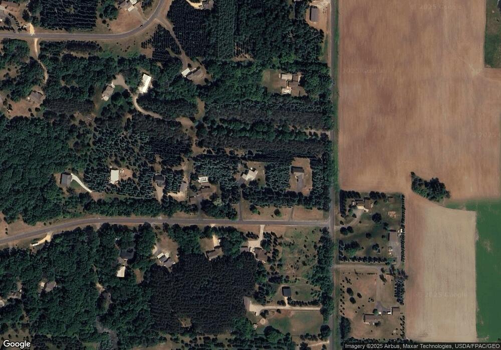
Map
Nearby Homes
- 2136 62nd St
- 462 210th Ave
- 6XX 205th Ave
- 2276 44th St
- Lot #1 xxx 74th St
- Lot #19 xxx 74th St
- Lot #14 xxx 74th St
- 1986 57th St
- 413 210th Ave
- 2113 80th St
- 1932 64th St
- 357 Harriman St
- 315 Harriman St
- 481 Martin Way
- 441 Charles Ln
- 316 Evergreen Dr
- 441 White Pine Ln
- 206 Red Pine Dr
- The Rockport Plan at Pine Vale
- The Newport Plan at Pine Vale