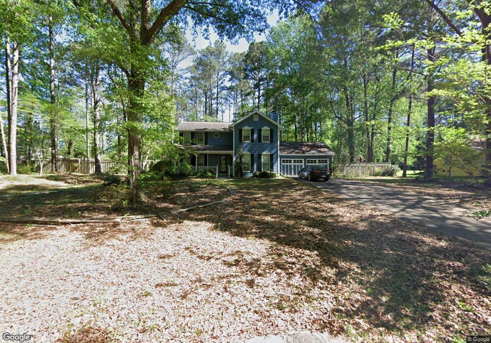
594 Banks Rd E Unit 13 Fayetteville, GA 30214
Estimated Value: $343,000 - $375,000
3
Beds
3
Baths
2,222
Sq Ft
$161/Sq Ft
Est. Value
About This Home
This home is located at 594 Banks Rd E Unit 13, Fayetteville, GA 30214 and is currently estimated at $358,061, approximately $161 per square foot. 594 Banks Rd E Unit 13 is a home located in Fayette County with nearby schools including Spring Hill Elementary School, Bennett's Mill Middle School, and Fayette County High School.
Ownership History
Date
Name
Owned For
Owner Type
Purchase Details
Closed on
Jul 23, 2021
Sold by
Bell Tamika N
Bought by
Rs Rental I Llc
Current Estimated Value
Purchase Details
Closed on
Jul 31, 2017
Sold by
Yeager Melanie Smith
Bought by
Bell Tamika N
Home Financials for this Owner
Home Financials are based on the most recent Mortgage that was taken out on this home.
Original Mortgage
$173,992
Interest Rate
3.75%
Mortgage Type
FHA
Purchase Details
Closed on
Jul 31, 2000
Sold by
Wardell Melanie S
Bought by
Wardell Melanie S
Home Financials for this Owner
Home Financials are based on the most recent Mortgage that was taken out on this home.
Original Mortgage
$135,703
Interest Rate
8.12%
Mortgage Type
New Conventional
Create a Home Valuation Report for This Property
The Home Valuation Report is an in-depth analysis detailing your home's value as well as a comparison with similar homes in the area
Home Values in the Area
Average Home Value in this Area
Purchase History
| Date | Buyer | Sale Price | Title Company |
|---|---|---|---|
| Rs Rental I Llc | $299,100 | -- | |
| Bell Tamika N | $190,000 | -- | |
| Wardell Melanie S | -- | -- | |
| Wardell Melanie S | $139,900 | -- |
Source: Public Records
Mortgage History
| Date | Status | Borrower | Loan Amount |
|---|---|---|---|
| Previous Owner | Bell Tamika N | $173,992 | |
| Previous Owner | Wardell Melanie S | $135,703 |
Source: Public Records
Tax History Compared to Growth
Tax History
| Year | Tax Paid | Tax Assessment Tax Assessment Total Assessment is a certain percentage of the fair market value that is determined by local assessors to be the total taxable value of land and additions on the property. | Land | Improvement |
|---|---|---|---|---|
| 2024 | $3,518 | $129,600 | $26,000 | $103,600 |
| 2023 | $3,611 | $129,600 | $26,000 | $103,600 |
| 2022 | $3,328 | $119,640 | $25,040 | $94,600 |
| 2021 | $2,267 | $106,560 | $18,000 | $88,560 |
| 2020 | $2,593 | $94,240 | $14,400 | $79,840 |
| 2019 | $2,495 | $89,840 | $14,400 | $75,440 |
| 2018 | $1,908 | $68,600 | $14,400 | $54,200 |
| 2017 | $1,917 | $68,640 | $14,400 | $54,240 |
| 2016 | $1,766 | $62,120 | $14,400 | $47,720 |
| 2015 | $1,668 | $57,840 | $14,400 | $43,440 |
| 2014 | $1,572 | $53,720 | $14,400 | $39,320 |
| 2013 | -- | $53,400 | $0 | $0 |
Source: Public Records
Map
Nearby Homes
- 135 Pamela Ct
- 170 Pleasant Point Way
- 185 Central Ave
- 125 Oak Knoll Unit 1
- 595 E Lanier Ave
- 175 Oak Manor
- 150 Oak Manor
- 140 Deer Forest Trail
- 1202 Highway 54 E
- 600 Ponderosa Ct
- 151 County Line Rd
- 145 Devilla Trace Unit 3
- 1119 Highway 54 E
- 1115 Highway 54 E
- 115 Bre Dr
- 110 Bre Dr
- Rosemary II Plan at Riverbend Overlook
- Henry II Plan at Riverbend Overlook
- Emerson II Plan at Riverbend Overlook
- Clarity Plan at Riverbend Overlook
- 594 Banks Rd E
- 594 Banks Rd E
- 604 Banks Rd E
- 595 Banks Rd E
- 191 Mcelroy Rd
- 591 Banks Rd E
- 576 Banks Rd E
- 589 Banks Rd E
- 603 Banks Rd E
- 179 Mcelroy Rd
- 105 Pamela Ct
- 185 Mcelroy Rd
- 0 Mcelroy Rd Unit 7389241
- 0 Mcelroy Rd Unit 7218560
- 0 Mcelroy Rd Unit 3237360
- 0 Mcelroy Rd Unit 8712731
- 0 Mcelroy Rd Unit 8578157
- 0 Mcelroy Rd Unit 8371563
- 0 Mcelroy Rd Unit 8345296
- 0 Mcelroy Rd Unit 8124055