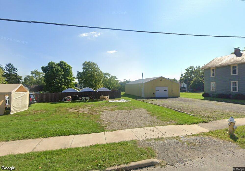
594 Bowman St Mansfield, OH 44903
Estimated Value: $91,000 - $179,000
Studio
2
Baths
--
Sq Ft
4,617
Sq Ft Lot
About This Home
This home is located at 594 Bowman St, Mansfield, OH 44903 and is currently estimated at $135,000. 594 Bowman St is a home located in Richland County with nearby schools including Goal Digital Academy, St. Peter's Elementary/Montessori School, and St. Peter's Junior High / High School.
Ownership History
Date
Name
Owned For
Owner Type
Purchase Details
Closed on
Dec 13, 2022
Sold by
Butler Vowana
Bought by
Butler Vowana and Butler Venessa
Current Estimated Value
Purchase Details
Closed on
Nov 22, 2022
Sold by
Johnson Helen L
Bought by
Butler Venessa
Purchase Details
Closed on
Dec 31, 2014
Sold by
State Of Ohio
Bought by
Richland County Land Reutilization Corpo
Purchase Details
Closed on
Dec 14, 2004
Sold by
Lawrence Rv
Bought by
Lawrence Rv and Lawrence Brenda Kay
Purchase Details
Closed on
Jan 26, 1994
Sold by
Lindsay Chester
Bought by
Lawrence R
Create a Home Valuation Report for This Property
The Home Valuation Report is an in-depth analysis detailing your home's value as well as a comparison with similar homes in the area
Home Values in the Area
Average Home Value in this Area
Purchase History
| Date | Buyer | Sale Price | Title Company |
|---|---|---|---|
| Butler Vowana | -- | None Listed On Document | |
| Butler Venessa | $37,200 | None Listed On Document | |
| Richland County Land Reutilization Corpo | -- | None Available | |
| Lawrence Rv | -- | -- | |
| Lawrence R | $4,300 | -- |
Source: Public Records
Tax History
| Year | Tax Paid | Tax Assessment Tax Assessment Total Assessment is a certain percentage of the fair market value that is determined by local assessors to be the total taxable value of land and additions on the property. | Land | Improvement |
|---|---|---|---|---|
| 2024 | $56 | $1,120 | $1,120 | $0 |
| 2023 | $54 | $1,120 | $1,120 | $0 |
| 2022 | $47 | $820 | $820 | $0 |
| 2021 | $47 | $820 | $820 | $0 |
| 2020 | $48 | $820 | $820 | $0 |
| 2019 | $54 | $820 | $820 | $0 |
| 2018 | $53 | $820 | $820 | $0 |
| 2017 | $78 | $820 | $820 | $0 |
| 2016 | $105 | $1,630 | $1,630 | $0 |
| 2015 | $105 | $7,860 | $1,630 | $6,230 |
| 2014 | $478 | $7,860 | $1,630 | $6,230 |
| 2012 | $367 | $7,870 | $1,720 | $6,150 |
Source: Public Records
Map
Nearby Homes
- 524 Lida St
- 118 Raymond Ave
- 701 Springmill St
- 0 Voegele Ave Unit Lot 6048, 6049, 6
- 0 Highway 30
- 480 Mcpherson St
- 572 France St
- 362-364 W 6th St
- 368 W 6th St
- 492 Stark St
- 0 State Route 314 Unit 9069650
- 0 State Route 314 Unit 9067316
- 0 State Route 314 Unit 225021979
- 169 W 5th St
- 212 Penn Ave
- 688 Mcpherson St
- 237 Helen Ave
- 230 Rae Ave
- 346 Newman St
- 149 W 4th St