594 Doerun Rd Doerun, GA 31744
Estimated Value: $223,000 - $567,451
3
Beds
1
Bath
1,240
Sq Ft
$319/Sq Ft
Est. Value
About This Home
This home is located at 594 Doerun Rd, Doerun, GA 31744 and is currently estimated at $395,226, approximately $318 per square foot. 594 Doerun Rd is a home with nearby schools including Worth County Primary School, Worth County Elementary School, and Worth County Middle School.
Ownership History
Date
Name
Owned For
Owner Type
Purchase Details
Closed on
Nov 5, 2019
Sold by
Miller Janice Marie
Bought by
Baron Robert Phillip
Current Estimated Value
Purchase Details
Closed on
Oct 20, 2012
Sold by
Farmer Janice M
Bought by
Farmer Jancie M
Purchase Details
Closed on
Nov 9, 2001
Sold by
Irvin John Rogers Est
Bought by
Lewis Ellis
Create a Home Valuation Report for This Property
The Home Valuation Report is an in-depth analysis detailing your home's value as well as a comparison with similar homes in the area
Home Values in the Area
Average Home Value in this Area
Purchase History
| Date | Buyer | Sale Price | Title Company |
|---|---|---|---|
| Baron Robert Phillip | -- | -- | |
| Baron Joel Curtis | -- | -- | |
| Baron Joel Curtis | -- | -- | |
| Farmer Jancie M | -- | -- | |
| Lewis Ellis | -- | -- |
Source: Public Records
Tax History Compared to Growth
Tax History
| Year | Tax Paid | Tax Assessment Tax Assessment Total Assessment is a certain percentage of the fair market value that is determined by local assessors to be the total taxable value of land and additions on the property. | Land | Improvement |
|---|---|---|---|---|
| 2024 | $1,932 | $129,179 | $108,822 | $20,357 |
| 2023 | $1,932 | $128,230 | $108,822 | $19,408 |
| 2022 | $1,854 | $128,230 | $108,822 | $19,408 |
| 2021 | $1,806 | $128,230 | $108,822 | $19,408 |
| 2020 | $1,792 | $128,230 | $108,822 | $19,408 |
| 2019 | $1,761 | $128,230 | $108,822 | $19,408 |
| 2018 | $3,674 | $128,230 | $108,822 | $19,408 |
| 2017 | $3,658 | $127,670 | $108,262 | $19,408 |
| 2016 | $1,262 | $127,670 | $108,262 | $19,408 |
| 2015 | $1,242 | $126,710 | $107,302 | $19,408 |
| 2014 | $1,220 | $126,710 | $108,857 | $17,853 |
| 2013 | -- | $117,496 | $99,643 | $17,853 |
| 2012 | -- | $117,496 | $99,643 | $17,852 |
Source: Public Records
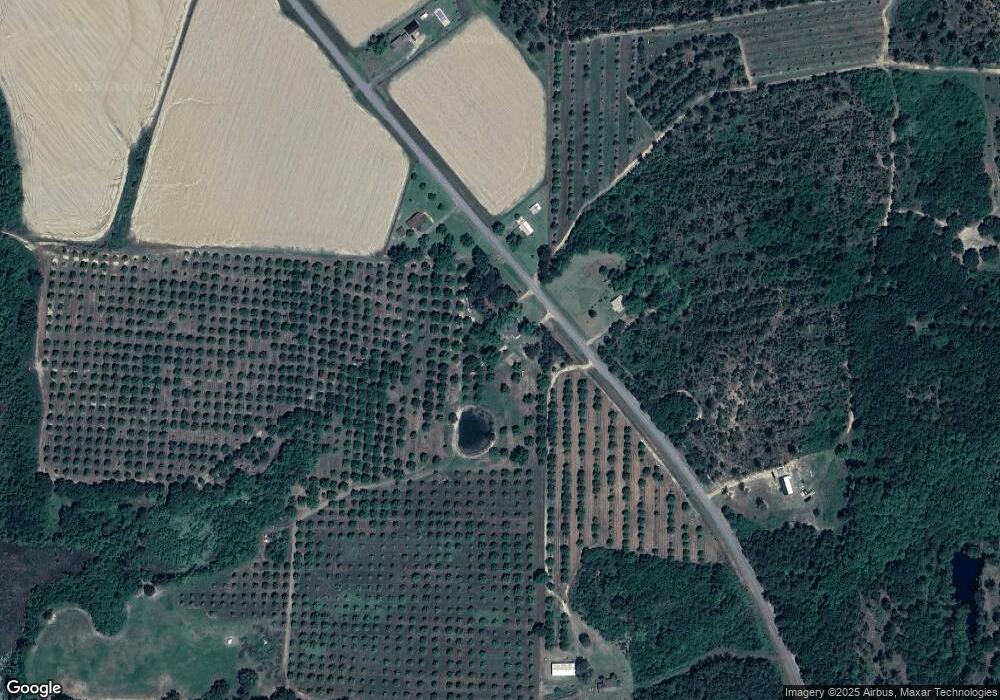
Map
Nearby Homes
- 825 N Green St
- 104 Union Ln
- 715 W Robinson Ave
- 511 W Broad Ave
- 417 W Bay Ave
- 318 E Culpepper Ave
- 2329 Evergreen Rd
- 340 Belk Rd
- 4409 Georgia 112
- 512 Hagin Still Rd
- 201 Worthwood Rd
- 0 Sam Sells Rd
- 712 Blackberry Rd
- 202 Oak Grove Dr
- 9765 Morey Hill Rd
- 330/332 Debbie Ln
- 0 Brest Station Rd Unit 10642758
- 1791 Funston Sigsbee Rd
- 9953 Gravel Hill Rd
- 441 Weaver Rd
- 583 Doerun Rd
- 601 Doerun Rd
- 576 Doerun Rd
- 557 Doerun Rd
- 636 Doerun Rd
- 529 Doerun Rd
- 519 Doerun Rd
- 675 Doerun Rd
- 503 Doerun Rd
- 519 Childree Rd
- 437 Doerun Rd
- 843 Doerun Rd
- 426 Childree Rd
- 856 Doerun Rd
- 851 Doerun Rd
- 903 Doerun Rd
- 8195 Ga Highway 133 N
- 396 Childree Rd
- 920 Doerun Rd
- 8224 Ga Highway 133 N