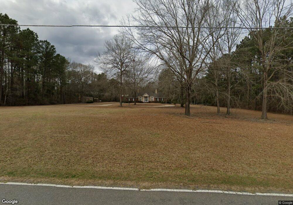
594 Owens Rd Unit 6.19 acres Calhoun, LA 71225
Estimated Value: $382,000 - $421,000
3
Beds
2
Baths
3,046
Sq Ft
$132/Sq Ft
Est. Value
About This Home
This home is located at 594 Owens Rd Unit 6.19 acres, Calhoun, LA 71225 and is currently estimated at $401,493, approximately $131 per square foot. 594 Owens Rd Unit 6.19 acres is a home located in Ouachita Parish with nearby schools including Calhoun Elementary School, Central Elementary School, and Calhoun Middle School.
Ownership History
Date
Name
Owned For
Owner Type
Purchase Details
Closed on
Oct 14, 2005
Sold by
Nash Nona Dale and Nash Terri Lois Clark
Bought by
Gavin Roy Curtis and Gavin Misty Lynn Glisson
Current Estimated Value
Home Financials for this Owner
Home Financials are based on the most recent Mortgage that was taken out on this home.
Original Mortgage
$296,000
Outstanding Balance
$157,333
Interest Rate
5.65%
Mortgage Type
New Conventional
Estimated Equity
$244,160
Create a Home Valuation Report for This Property
The Home Valuation Report is an in-depth analysis detailing your home's value as well as a comparison with similar homes in the area
Home Values in the Area
Average Home Value in this Area
Purchase History
| Date | Buyer | Sale Price | Title Company |
|---|---|---|---|
| Gavin Roy Curtis | $296,000 | North Delta Title & Abstract |
Source: Public Records
Mortgage History
| Date | Status | Borrower | Loan Amount |
|---|---|---|---|
| Open | Gavin Roy Curtis | $296,000 |
Source: Public Records
Tax History Compared to Growth
Tax History
| Year | Tax Paid | Tax Assessment Tax Assessment Total Assessment is a certain percentage of the fair market value that is determined by local assessors to be the total taxable value of land and additions on the property. | Land | Improvement |
|---|---|---|---|---|
| 2024 | $1,797 | $27,059 | $937 | $26,122 |
| 2023 | $1,797 | $27,059 | $937 | $26,122 |
| 2022 | $2,401 | $27,059 | $937 | $26,122 |
| 2021 | $2,431 | $27,059 | $937 | $26,122 |
| 2020 | $2,431 | $27,059 | $937 | $26,122 |
| 2019 | $2,423 | $27,058 | $936 | $26,122 |
| 2018 | $1,752 | $27,058 | $936 | $26,122 |
| 2017 | $2,423 | $27,058 | $936 | $26,122 |
| 2016 | $2,422 | $27,057 | $935 | $26,122 |
| 2015 | $1,747 | $27,057 | $935 | $26,122 |
| 2014 | $1,747 | $27,057 | $935 | $26,122 |
| 2013 | $1,491 | $24,245 | $954 | $23,291 |
Source: Public Records
Map
Nearby Homes
- 00 Indian Orchard Ln
- 193 Purdy Place
- 156 Laney Crocker Rd E
- 414 Highway 151 S Unit South
- 219 Chief Ln
- 0 Louisiana 151
- 333 Highway 151 S
- 123 Highway 151 S
- 00 Connie Walters Rd
- 149 Curry Creek Dr
- 26 Ashley Griggs Rd
- 193 Showhorse Ln
- 523 Doctor Davis Rd
- 211 Thorn Dr Unit Thorn Drive
- 235 Chief Ln
- 143 Simba Ln
- 195 Simba Ln
- 194 Simba Ln
- 193 Simba Ln
- 165 Simba Ln