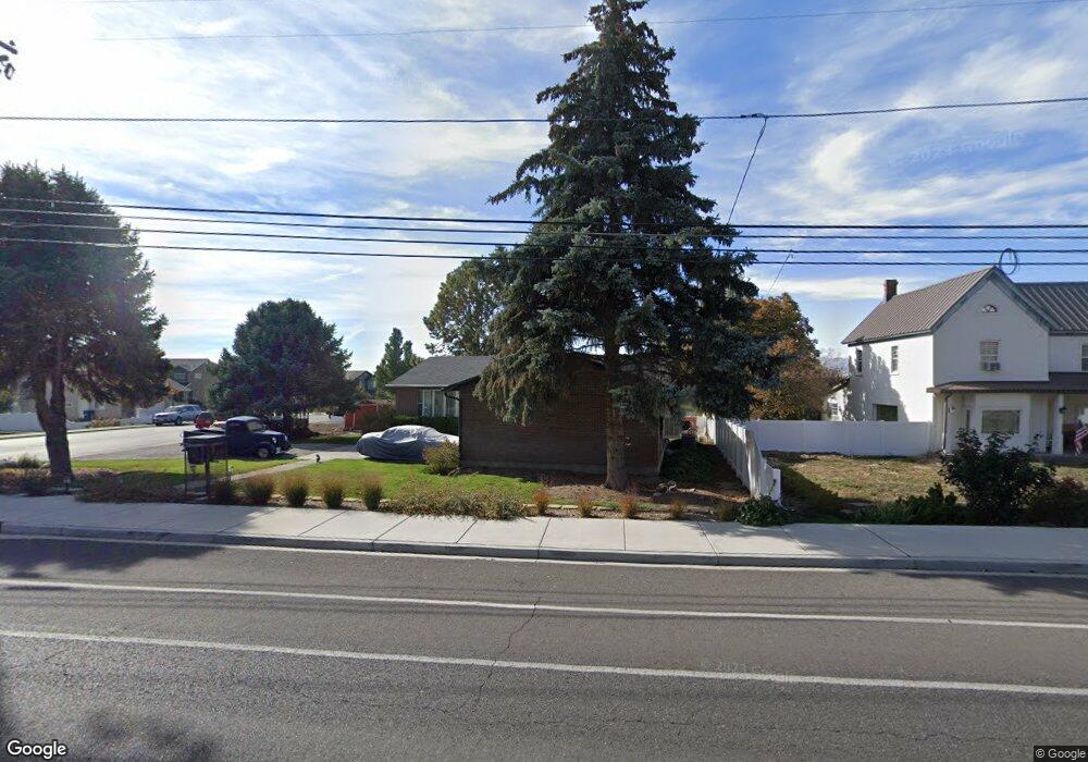
594 S Locust Ave Pleasant Grove, UT 84062
Estimated Value: $497,000 - $547,000
3
Beds
2
Baths
1,440
Sq Ft
$361/Sq Ft
Est. Value
About This Home
This home is located at 594 S Locust Ave, Pleasant Grove, UT 84062 and is currently estimated at $519,965, approximately $361 per square foot. 594 S Locust Ave is a home located in Utah County with nearby schools including Lindon Elementary School, Oak Canyon Junior High School, and Pleasant Grove High School.
Ownership History
Date
Name
Owned For
Owner Type
Purchase Details
Closed on
Sep 5, 2018
Sold by
Barilsford Carl J and Barilsford Mary Ellen
Bought by
Barilsford Carl J and Barilsford Mary Ellen
Current Estimated Value
Home Financials for this Owner
Home Financials are based on the most recent Mortgage that was taken out on this home.
Original Mortgage
$125,000
Interest Rate
4.5%
Mortgage Type
Credit Line Revolving
Purchase Details
Closed on
May 29, 2018
Sold by
Brailsford Carl John and Brailsford Mary Ellen
Bought by
Brailsford Carl J and Brailsford Mar Ellen
Create a Home Valuation Report for This Property
The Home Valuation Report is an in-depth analysis detailing your home's value as well as a comparison with similar homes in the area
Home Values in the Area
Average Home Value in this Area
Purchase History
| Date | Buyer | Sale Price | Title Company |
|---|---|---|---|
| Barilsford Carl J | -- | Legends Title Llc | |
| Brailsford Carl J | -- | Legends Title Llc | |
| Brailsford Carl J | -- | None Available |
Source: Public Records
Mortgage History
| Date | Status | Borrower | Loan Amount |
|---|---|---|---|
| Closed | Brailsford Carl J | $125,000 |
Source: Public Records
Tax History Compared to Growth
Tax History
| Year | Tax Paid | Tax Assessment Tax Assessment Total Assessment is a certain percentage of the fair market value that is determined by local assessors to be the total taxable value of land and additions on the property. | Land | Improvement |
|---|---|---|---|---|
| 2025 | $2,119 | $272,635 | $216,000 | $279,700 |
| 2024 | $2,119 | $252,835 | $0 | $0 |
| 2023 | $2,059 | $251,570 | $0 | $0 |
| 2022 | $2,203 | $267,850 | $0 | $0 |
| 2021 | $1,902 | $352,100 | $155,000 | $197,100 |
| 2020 | $1,750 | $317,600 | $138,400 | $179,200 |
| 2019 | $1,581 | $296,600 | $127,100 | $169,500 |
| 2018 | $1,585 | $281,300 | $115,900 | $165,400 |
| 2017 | $1,403 | $132,550 | $0 | $0 |
| 2016 | $1,341 | $122,265 | $0 | $0 |
| 2015 | $1,361 | $117,535 | $0 | $0 |
| 2014 | $1,299 | $111,155 | $0 | $0 |
Source: Public Records
Map
Nearby Homes
- 526 S Locust Ave Unit 23
- 678 S Locust Ave
- 576 S Locust Ave
- 593 Harvest Moon Dr
- 610 S Locust Ave
- 581 Harvest Moon Dr
- 598 Harvest Moon Dr
- 593 S Locust Ave
- 560 S Locust Ave
- 622 S Locust Ave
- 596 Harvest Moon Dr
- 588 Harvest Moon Dr
- 850 E 820 S
- 583 S 570 E
- 578 Harvest Moon Dr
- 632 S Locust Ave
- 530 S Locust Ave
- 592 Harvest Moon Dr
- 532 S Locust Ave
- 594 Harvest Moon Dr