594 Thornton Rd Newton Grove, NC 28366
Meadow NeighborhoodEstimated Value: $279,000
--
Bed
2
Baths
--
Sq Ft
17.8
Acres
About This Home
This home is located at 594 Thornton Rd, Newton Grove, NC 28366 and is currently priced at $279,000. 594 Thornton Rd is a home located in Johnston County with nearby schools including Meadow School and South Johnston High School.
Ownership History
Date
Name
Owned For
Owner Type
Purchase Details
Closed on
Aug 4, 2010
Sold by
Heritage Carmie Barefoot and Heritage Iii Thomas Price
Bought by
Heritage Carmie Barefoot and Heritage Iii Thomas Price
Current Estimated Value
Home Financials for this Owner
Home Financials are based on the most recent Mortgage that was taken out on this home.
Original Mortgage
$217,000
Outstanding Balance
$73,700
Interest Rate
4.76%
Mortgage Type
New Conventional
Purchase Details
Closed on
Mar 14, 2005
Sold by
Jones Junious Marion and Barefoot Ann J
Bought by
Heritage Carmie Barefoot
Create a Home Valuation Report for This Property
The Home Valuation Report is an in-depth analysis detailing your home's value as well as a comparison with similar homes in the area
Home Values in the Area
Average Home Value in this Area
Purchase History
| Date | Buyer | Sale Price | Title Company |
|---|---|---|---|
| Heritage Carmie Barefoot | -- | None Available | |
| Heritage Carmie Barefoot | -- | None Available |
Source: Public Records
Mortgage History
| Date | Status | Borrower | Loan Amount |
|---|---|---|---|
| Open | Heritage Carmie Barefoot | $217,000 |
Source: Public Records
Tax History Compared to Growth
Tax History
| Year | Tax Paid | Tax Assessment Tax Assessment Total Assessment is a certain percentage of the fair market value that is determined by local assessors to be the total taxable value of land and additions on the property. | Land | Improvement |
|---|---|---|---|---|
| 2025 | $74 | $145,630 | $145,630 | $0 |
| 2024 | $95 | $66,010 | $66,010 | $0 |
| 2023 | $93 | $66,010 | $66,010 | $0 |
| 2022 | $98 | $66,010 | $66,010 | $0 |
| 2021 | $98 | $66,010 | $66,010 | $0 |
| 2020 | $97 | $66,010 | $66,010 | $0 |
| 2019 | $97 | $66,010 | $66,010 | $0 |
| 2018 | $96 | $56,480 | $56,480 | $0 |
| 2017 | $96 | $56,480 | $56,480 | $0 |
| 2016 | $96 | $56,480 | $56,480 | $0 |
| 2015 | $96 | $56,480 | $56,480 | $0 |
| 2014 | $96 | $56,480 | $56,480 | $0 |
Source: Public Records
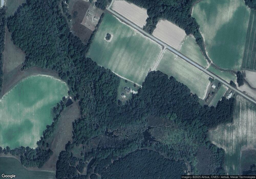
Map
Nearby Homes
- 636 Tart Town Rd
- Tract 1 Tart Town Rd
- Tract One Tart Town Rd
- 12525 N Carolina 50
- 3092 Harnett-Dunn Hwy
- 352 Old Crow Rd
- 410 E Barefoot Rd
- 1158 Lee-Johnson Rd
- 1676 Smithfield Hwy
- 10263 U S 701 Hwy
- 0 Main St
- 1752 Lee-Johnson Rd
- 9501 Harper House Rd
- 9505 Harper House Rd
- 1752 Lee Johnson Rd
- 10455 U S 701 Hwy
- 520 Fayetteville St
- 499 Jumping Run Rd
- 0 Hobbton Hwy Unit 100510708
- 900 Marler Rd
- 571 Thornton Rd
- 774 Thornton Rd
- 443 Thornton Rd
- 1390 Thornton Rd
- 186 Thornton Rd
- 315 Brock Rd
- 870 Thornton Rd
- 902 Thornton Rd
- 244 Thornton Rd
- 0-Tr1 Brock
- 265 Thornton Rd
- 299 Brock Rd
- 261 Thornton Rd
- 321 Brock Rd
- 23.15 Acre Brock
- Tr 1 & 2 Brock
- 949 Thornton Rd
- 3205 Reedy Prong Church Rd
- 229 Thornton Rd
- 3203 Reedy Prong Church Rd