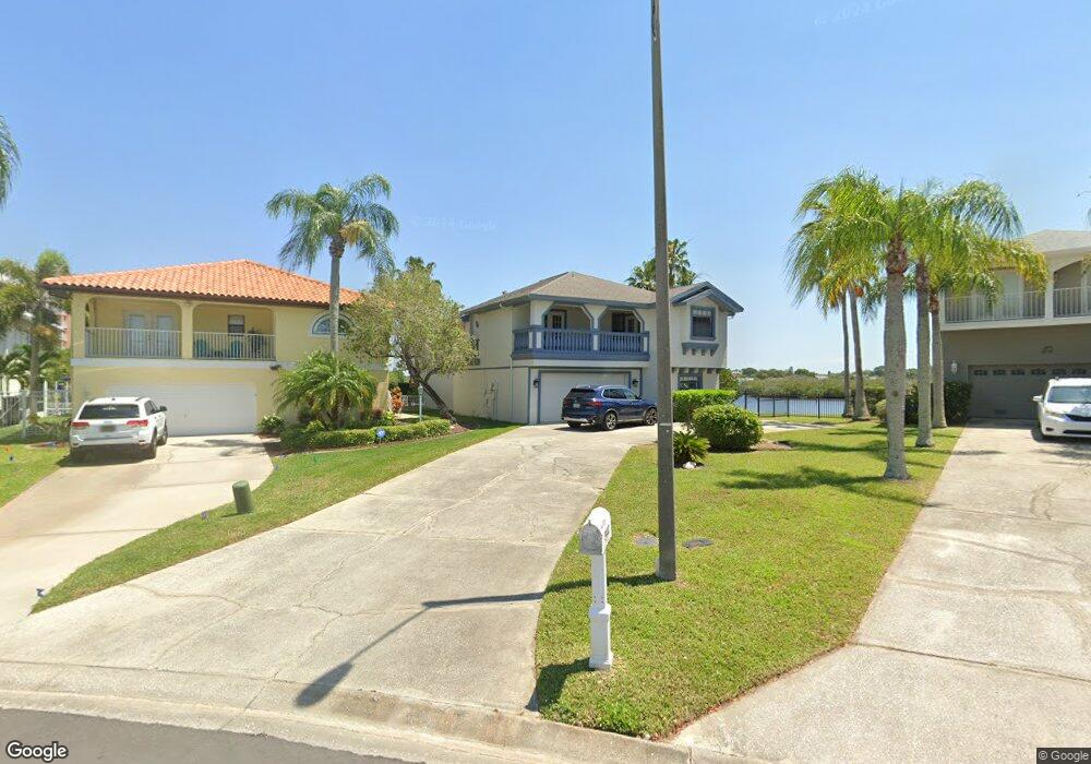
5940 Seaside Dr New Port Richey, FL 34652
New Port Richey West NeighborhoodEstimated Value: $715,000 - $979,000
--
Bed
2
Baths
3,131
Sq Ft
$268/Sq Ft
Est. Value
About This Home
This home is located at 5940 Seaside Dr, New Port Richey, FL 34652 and is currently estimated at $839,977, approximately $268 per square foot. 5940 Seaside Dr is a home located in Pasco County with nearby schools including Richey Elementary School, Gulf Middle School, and Gulf High School.
Ownership History
Date
Name
Owned For
Owner Type
Purchase Details
Closed on
Mar 21, 2001
Sold by
Hanna Ashraf and Hanna Miranda
Bought by
Hanna Atif and Hanna Victoria
Current Estimated Value
Purchase Details
Closed on
Sep 30, 1996
Sold by
Appleman Donald T and Appleman Joan
Bought by
Hanna Ashraf and Hanna Miranda
Home Financials for this Owner
Home Financials are based on the most recent Mortgage that was taken out on this home.
Original Mortgage
$189,000
Interest Rate
7.85%
Mortgage Type
New Conventional
Create a Home Valuation Report for This Property
The Home Valuation Report is an in-depth analysis detailing your home's value as well as a comparison with similar homes in the area
Home Values in the Area
Average Home Value in this Area
Purchase History
| Date | Buyer | Sale Price | Title Company |
|---|---|---|---|
| Hanna Atif | $250,000 | -- | |
| Hanna Ashraf | $210,000 | -- |
Source: Public Records
Mortgage History
| Date | Status | Borrower | Loan Amount |
|---|---|---|---|
| Previous Owner | Hanna Ashraf | $189,000 |
Source: Public Records
Tax History Compared to Growth
Tax History
| Year | Tax Paid | Tax Assessment Tax Assessment Total Assessment is a certain percentage of the fair market value that is determined by local assessors to be the total taxable value of land and additions on the property. | Land | Improvement |
|---|---|---|---|---|
| 2025 | $11,965 | $793,438 | $293,708 | $499,730 |
| 2024 | $11,965 | $826,029 | $293,708 | $532,321 |
| 2023 | $11,281 | $556,680 | $0 | $0 |
| 2022 | $9,117 | $679,073 | $247,333 | $431,740 |
| 2021 | $7,549 | $460,077 | $153,087 | $306,990 |
| 2020 | $6,957 | $422,966 | $148,763 | $274,203 |
| 2019 | $6,845 | $411,922 | $148,763 | $263,159 |
| 2018 | $6,646 | $398,474 | $148,763 | $249,711 |
| 2017 | $6,289 | $369,241 | $148,763 | $220,478 |
| 2016 | $6,176 | $359,598 | $148,763 | $210,835 |
| 2015 | $6,118 | $348,735 | $148,763 | $199,972 |
| 2014 | $5,616 | $325,401 | $146,138 | $179,263 |
Source: Public Records
Map
Nearby Homes
- 5925 Seaside Dr
- 4330 Sanddollar Ct
- 4400 Sanddollar Ct
- 4335 Sanddollar Ct
- 4516 Seagull Dr Unit 411
- 4516 Seagull Dr Unit 520
- 4516 Seagull Dr Unit 905
- 4516 Seagull Dr Unit 413
- 4516 Seagull Dr Unit 501
- 4516 Seagull Dr Unit 519
- 4516 Seagull Dr Unit 916
- 4516 Seagull Dr Unit 408
- 4516 Seagull Dr Unit 419
- 4516 Seagull Dr Unit 805
- 6116 Seaside Dr
- 6170 Seaside Dr
- 6244 Spoonbill Dr
- 6208 Spoonbill Dr
- 2 Aqua Reserve Blvd
- 5992 Aqua Reserve Blvd