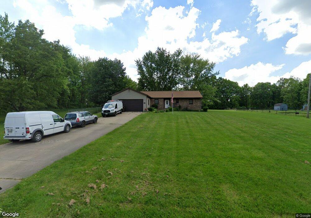
5940 Weaver Rd New Franklin, OH 44216
Estimated Value: $261,000 - $296,969
3
Beds
3
Baths
1,504
Sq Ft
$188/Sq Ft
Est. Value
About This Home
This home is located at 5940 Weaver Rd, New Franklin, OH 44216 and is currently estimated at $283,242, approximately $188 per square foot. 5940 Weaver Rd is a home located in Summit County.
Ownership History
Date
Name
Owned For
Owner Type
Purchase Details
Closed on
Sep 29, 2009
Sold by
Park Michael H and Park Mary A
Bought by
Ford Ronald R
Current Estimated Value
Home Financials for this Owner
Home Financials are based on the most recent Mortgage that was taken out on this home.
Original Mortgage
$135,009
Outstanding Balance
$89,499
Interest Rate
5.38%
Mortgage Type
FHA
Estimated Equity
$193,743
Purchase Details
Closed on
Mar 6, 2001
Sold by
Park Christine
Bought by
Park Michael H
Create a Home Valuation Report for This Property
The Home Valuation Report is an in-depth analysis detailing your home's value as well as a comparison with similar homes in the area
Home Values in the Area
Average Home Value in this Area
Purchase History
| Date | Buyer | Sale Price | Title Company |
|---|---|---|---|
| Ford Ronald R | $137,500 | Kingdom Title | |
| Park Michael H | -- | -- |
Source: Public Records
Mortgage History
| Date | Status | Borrower | Loan Amount |
|---|---|---|---|
| Open | Ford Ronald R | $135,009 |
Source: Public Records
Tax History Compared to Growth
Tax History
| Year | Tax Paid | Tax Assessment Tax Assessment Total Assessment is a certain percentage of the fair market value that is determined by local assessors to be the total taxable value of land and additions on the property. | Land | Improvement |
|---|---|---|---|---|
| 2025 | $4,223 | $84,483 | $21,112 | $63,371 |
| 2024 | $4,223 | $84,483 | $21,112 | $63,371 |
| 2023 | $4,223 | $84,483 | $21,112 | $63,371 |
| 2022 | $3,889 | $60,039 | $14,973 | $45,066 |
| 2021 | $3,865 | $60,039 | $14,973 | $45,066 |
| 2020 | $3,836 | $60,040 | $14,970 | $45,070 |
| 2019 | $3,686 | $52,210 | $12,150 | $40,060 |
| 2018 | $3,218 | $52,210 | $12,150 | $40,060 |
| 2017 | $3,116 | $52,210 | $12,150 | $40,060 |
| 2016 | $3,042 | $45,770 | $12,150 | $33,620 |
| 2015 | $3,116 | $45,770 | $12,150 | $33,620 |
| 2014 | $3,055 | $45,770 | $12,150 | $33,620 |
| 2013 | $3,426 | $51,680 | $12,150 | $39,530 |
Source: Public Records
Map
Nearby Homes
- 451 Yager Rd
- 6407 Southview Dr
- 899 Loway Dr
- 5776 Harter Home Dr
- 6090 Manchester Rd Unit 6096
- 781 Leeman Dr
- 0 W Comet Rd Unit 5079117
- 715 Highland Park Dr
- 7060 Manchester Rd
- 1062 Stump Rd
- 427 Center Rd
- 6387 Hampsher Rd
- 5892 Woodward Dr
- 11391 Michelle Dr NW
- 0 Babst Ave NW
- S/L 14,15 Shakes Hotel Dr
- 4944 Coleman Dr
- 8714 Greenmeadow Ave NW
- 6 Shrakes Hotel Dr
- 4 Shrakes Hotel Dr