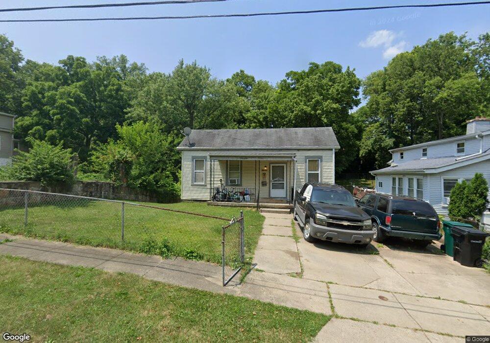
5941 Kenneth Ave Cincinnati, OH 45224
College Hill NeighborhoodEstimated Value: $118,000 - $133,000
2
Beds
2
Baths
769
Sq Ft
$164/Sq Ft
Est. Value
About This Home
This home is located at 5941 Kenneth Ave, Cincinnati, OH 45224 and is currently estimated at $126,458, approximately $164 per square foot. 5941 Kenneth Ave is a home located in Hamilton County with nearby schools including Pleasant Hill Elementary School, Robert A. Taft Information Technology High School, and Western Hills High School.
Ownership History
Date
Name
Owned For
Owner Type
Purchase Details
Closed on
Feb 9, 2001
Sold by
Homesteading & Urban Dev
Bought by
Mccloud Jacqueline F
Current Estimated Value
Purchase Details
Closed on
May 20, 1996
Sold by
City Of Cincinnati
Bought by
Homesteading And Urban Redevelopment Cor
Purchase Details
Closed on
Jun 11, 1994
Sold by
United States Escrow Inc
Bought by
City Of Cincinnati Neighborhood Hsng And
Purchase Details
Closed on
Oct 26, 1993
Sold by
Felton Mary E
Bought by
United States Escrow Inc
Create a Home Valuation Report for This Property
The Home Valuation Report is an in-depth analysis detailing your home's value as well as a comparison with similar homes in the area
Home Values in the Area
Average Home Value in this Area
Purchase History
| Date | Buyer | Sale Price | Title Company |
|---|---|---|---|
| Mccloud Jacqueline F | -- | -- | |
| Homesteading And Urban Redevelopment Cor | -- | -- | |
| City Of Cincinnati Neighborhood Hsng And | -- | -- | |
| United States Escrow Inc | $18,000 | -- |
Source: Public Records
Tax History
| Year | Tax Paid | Tax Assessment Tax Assessment Total Assessment is a certain percentage of the fair market value that is determined by local assessors to be the total taxable value of land and additions on the property. | Land | Improvement |
|---|---|---|---|---|
| 2025 | $1,103 | $27,888 | $10,878 | $17,010 |
| 2023 | $1,715 | $27,888 | $10,878 | $17,010 |
| 2022 | $1,039 | $15,072 | $8,859 | $6,213 |
| 2021 | $997 | $15,072 | $8,859 | $6,213 |
| 2020 | $1,026 | $15,072 | $8,859 | $6,213 |
| 2019 | $984 | $13,220 | $7,770 | $5,450 |
| 2018 | $985 | $13,220 | $7,770 | $5,450 |
| 2017 | $936 | $13,220 | $7,770 | $5,450 |
| 2016 | $975 | $13,591 | $8,292 | $5,299 |
| 2015 | $880 | $13,591 | $8,292 | $5,299 |
| 2014 | $886 | $13,591 | $8,292 | $5,299 |
| 2013 | $928 | $14,011 | $8,547 | $5,464 |
Source: Public Records
Map
Nearby Homes
- 5940 Kenneth Ave
- 5945 Leffingwell Ave
- 1197 Toluca Ct
- 6071 Lantana Ave
- 1190 West Way
- 5825 Salvia Ave
- 1491 Reid Ave
- 1217 Groesbeck Rd
- 1166 Groesbeck Rd
- 6101 Capri Dr
- 6000 Capri Dr
- 5679 Folchi Dr
- 6045 Tahiti Dr
- 1620 Linden Dr
- 1552 Reid Ave
- 6027 Budmar Ave
- 6145 Sunridge Dr
- 6024 Sunridge Dr
- 6229 Station Court Dr
- 6227 Station Court Dr
- 5939 Kenneth Ave
- 5945 Kenneth Ave
- 5933 Kenneth Ave
- 5929 Kenneth Ave
- 1180 Atwood Ave
- 5948 Kenneth Ave
- 5944 Kenneth Ave
- 5925 Kenneth Ave
- 1218 Homeside Ave
- 1178 Atwood Ave
- 1214 Homeside Ave
- 1222 Homeside Ave
- 1210 Homeside Ave
- 1189 Homeside Ave
- 5921 Kenneth Ave
- 1176 Atwood Ave
- 1194 Homeside Ave
- 1192 Homeside Ave
- 1185 Homeside Ave
- 5917 Kenneth Ave
Your Personal Tour Guide
Ask me questions while you tour the home.