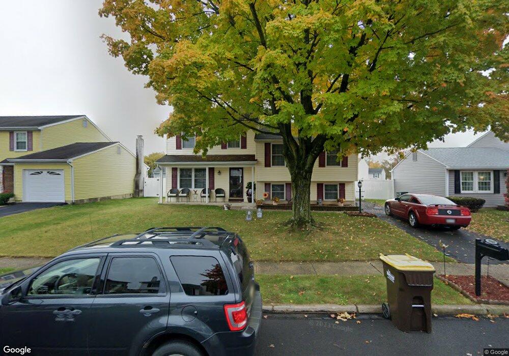
5941 Mark Dr Bensalem, PA 19020
Neshaminy Valley NeighborhoodEstimated Value: $435,356 - $500,000
About This Home
This home is located at 5941 Mark Dr, Bensalem, PA 19020 and is currently estimated at $457,089, approximately $300 per square foot. 5941 Mark Dr is a home located in Bucks County with nearby schools including Valley Elementary School, St Ephrem School, and Bensalem Baptist School.
Ownership History
We collect this data history from publicly available records. To have your information removed, we recommend requesting removal directly through your county’s website.
Purchase Details
Home Financials for this Owner
Home Financials are based on the most recent Mortgage that was taken out on this home.Purchase Details
Home Financials for this Owner
Home Financials are based on the most recent Mortgage that was taken out on this home.Purchase Details
Home Financials for this Owner
Home Financials are based on the most recent Mortgage that was taken out on this home.Purchase Details
Home Financials for this Owner
Home Financials are based on the most recent Mortgage that was taken out on this home.Home Values in the Area
Average Home Value in this Area
Purchase History
We collect this data history from publicly available records. To have your information removed, we recommend requesting removal directly through your county’s website.
| Date | Buyer | Sale Price | Title Company |
|---|---|---|---|
| -- | Certainty Settlement Svcs | ||
| -- | None Available | ||
| $55,600 | -- | ||
| $135,000 | -- |
Mortgage History
We collect this data history from publicly available records. To have your information removed, we recommend requesting removal directly through your county’s website.
| Date | Status | Borrower | Loan Amount |
|---|---|---|---|
| Open | $136,500 | ||
| Closed | $95,000 | ||
| Closed | $107,100 | ||
| Closed | $105,000 |
Tax History
We collect this data history from publicly available records. To have your information removed, we recommend requesting removal directly through your county’s website.
| Year | Tax Paid | Tax Assessment Tax Assessment Total Assessment is a certain percentage of the fair market value that is determined by local assessors to be the total taxable value of land and additions on the property. | Land | Improvement |
|---|---|---|---|---|
| 2026 | $6,517 | $28,640 | $5,920 | $22,720 |
| 2025 | $6,252 | $28,640 | $5,920 | $22,720 |
| 2024 | $6,252 | $28,640 | $5,920 | $22,720 |
| 2023 | $6,076 | $28,640 | $5,920 | $22,720 |
| 2022 | $6,040 | $28,640 | $5,920 | $22,720 |
| 2021 | $6,040 | $28,640 | $5,920 | $22,720 |
| 2020 | $5,980 | $28,640 | $5,920 | $22,720 |
| 2019 | $5,846 | $28,640 | $5,920 | $22,720 |
| 2018 | $5,711 | $28,640 | $5,920 | $22,720 |
| 2017 | $5,675 | $28,640 | $5,920 | $22,720 |
| 2016 | $5,675 | $28,640 | $5,920 | $22,720 |
| 2015 | -- | $28,640 | $5,920 | $22,720 |
| 2014 | -- | $28,640 | $5,920 | $22,720 |
Map
- 5986 Washington Ln
- 6073 Mark Cir
- 6150 Clearview Ave
- 1662 Gibson Rd Unit 111
- 1826 Gibson Rd Unit 75
- 1302 Gibson Rd Unit 152
- 5758 Terrace Ave
- 2472 Webster Ct
- 1446 Gibson Rd
- 1446 Gibson Rd Unit D50
- 5760 Bensalem Blvd
- 5766 Corsair Ct
- 3007 Rampart Rd
- 2732 Woodsview Dr
- L:003 Newportville Rd
- 2997 Meredith Place
- 5755 Randall Ct
- 3208 Ellington Ct
- 64 Digi Farm Ln Unit 64
- 2637 Woodsview Dr
- 5959 Michael Dr
- 5967 Michael Dr
- 5951 Michael Dr
- 5975 Michael Dr
- 5960 Michael Dr
- 5943 Michael Dr
- 5950 Michael Dr
- 5968 Michael Dr
- 5983 Michael Dr
- 5976 Michael Dr
- 5940 Michael Dr
- 1554 Point Dr
- 1562 Point Dr
- 5935 Michael Dr
- 1570 Point Dr
- 1546 Point Dr
- 6000 Mark Cir
- 1578 Point Dr
- 5991 Michael Dr
- 1538 Point Dr
Ask me questions while you tour the home.