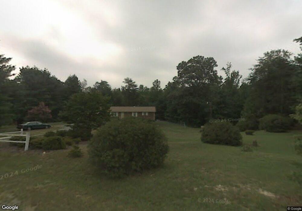
5941 Pack Dr Walkertown, NC 27051
Estimated Value: $214,195 - $343,000
3
Beds
2
Baths
1,275
Sq Ft
$201/Sq Ft
Est. Value
About This Home
This home is located at 5941 Pack Dr, Walkertown, NC 27051 and is currently estimated at $256,799, approximately $201 per square foot. 5941 Pack Dr is a home located in Forsyth County with nearby schools including Walkertown Elementary School, Walkertown Middle, and Walkertown High School.
Ownership History
Date
Name
Owned For
Owner Type
Purchase Details
Closed on
Jun 12, 2015
Sold by
Pack Louis C and Pack Doris W
Bought by
Reynolds Seth and Reynolds Loara
Current Estimated Value
Home Financials for this Owner
Home Financials are based on the most recent Mortgage that was taken out on this home.
Original Mortgage
$213,750
Outstanding Balance
$166,087
Interest Rate
3.92%
Mortgage Type
New Conventional
Estimated Equity
$90,712
Purchase Details
Closed on
Nov 20, 2008
Sold by
Pack Louie C and Pack Patricia H
Bought by
Pack Louie C and Pack Doris W
Purchase Details
Closed on
Oct 25, 2005
Sold by
Pack Louie C and Pack Doris W
Bought by
Pack Louie C and Pack Patricia H
Create a Home Valuation Report for This Property
The Home Valuation Report is an in-depth analysis detailing your home's value as well as a comparison with similar homes in the area
Home Values in the Area
Average Home Value in this Area
Purchase History
| Date | Buyer | Sale Price | Title Company |
|---|---|---|---|
| Reynolds Seth | -- | Chicago Title Insurance Co | |
| Pack Louie C | $150,000 | Chicago Title Insurance Co | |
| Pack Louie C | -- | -- |
Source: Public Records
Mortgage History
| Date | Status | Borrower | Loan Amount |
|---|---|---|---|
| Open | Reynolds Seth | $213,750 |
Source: Public Records
Tax History Compared to Growth
Tax History
| Year | Tax Paid | Tax Assessment Tax Assessment Total Assessment is a certain percentage of the fair market value that is determined by local assessors to be the total taxable value of land and additions on the property. | Land | Improvement |
|---|---|---|---|---|
| 2025 | $924 | $265,600 | $36,900 | $228,700 |
| 2024 | $924 | $118,200 | $22,100 | $96,100 |
| 2023 | $924 | $118,200 | $22,100 | $96,100 |
| 2022 | $924 | $118,200 | $22,100 | $96,100 |
| 2021 | $924 | $118,200 | $22,100 | $96,100 |
| 2020 | $924 | $108,600 | $17,300 | $91,300 |
| 2019 | $935 | $108,600 | $17,300 | $91,300 |
| 2018 | $898 | $108,600 | $17,300 | $91,300 |
| 2016 | $1,013 | $121,929 | $18,516 | $103,413 |
| 2015 | $1,007 | $121,929 | $18,516 | $103,413 |
| 2014 | $990 | $121,929 | $18,516 | $103,413 |
Source: Public Records
Map
Nearby Homes
- 5822 Jones Rd
- 2176 Old Hollow Rd
- 5110 Carmichael St
- 5095 Donna Marie Ct
- 5091 Donna Marie Ct
- 4925 Day Ct
- 4913 Day Ct
- 4645 Carlton Ct
- 2814 Chari Park Ln
- 2645 Chari Park Ln
- Jamestown Plan at Sullivans Reserve
- Fairfield Plan at Sullivans Reserve
- Kendall Plan at Sullivans Reserve
- Hanover Plan at Sullivans Reserve
- Ellerbe Plan at Sullivans Reserve
- Southport Plan at Sullivans Reserve
- Greensboro Plan at Sullivans Reserve
- Asheville Plan at Sullivans Reserve
- Freeport Plan at Sullivans Reserve
- 5252 Inigo Ct