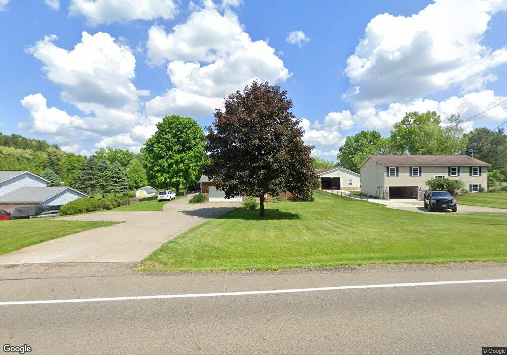
5941 S Main St Clinton, OH 44216
Estimated Value: $254,000 - $368,000
3
Beds
2
Baths
1,868
Sq Ft
$167/Sq Ft
Est. Value
About This Home
This home is located at 5941 S Main St, Clinton, OH 44216 and is currently estimated at $311,949, approximately $166 per square foot. 5941 S Main St is a home located in Summit County with nearby schools including Greenwood Elementary School, Green Intermediate Elementary School, and Green Primary School.
Ownership History
Date
Name
Owned For
Owner Type
Purchase Details
Closed on
Jul 16, 2003
Sold by
Boden Roger L and Boden Patricia J
Bought by
Knighton Daniel L and Knighton Shellie A
Current Estimated Value
Home Financials for this Owner
Home Financials are based on the most recent Mortgage that was taken out on this home.
Original Mortgage
$134,000
Outstanding Balance
$57,442
Interest Rate
5.37%
Mortgage Type
Purchase Money Mortgage
Estimated Equity
$254,507
Create a Home Valuation Report for This Property
The Home Valuation Report is an in-depth analysis detailing your home's value as well as a comparison with similar homes in the area
Purchase History
| Date | Buyer | Sale Price | Title Company |
|---|---|---|---|
| Knighton Daniel L | $154,000 | Multiple |
Source: Public Records
Mortgage History
| Date | Status | Borrower | Loan Amount |
|---|---|---|---|
| Open | Knighton Daniel L | $134,000 |
Source: Public Records
Tax History
| Year | Tax Paid | Tax Assessment Tax Assessment Total Assessment is a certain percentage of the fair market value that is determined by local assessors to be the total taxable value of land and additions on the property. | Land | Improvement |
|---|---|---|---|---|
| 2024 | $4,092 | $87,368 | $13,108 | $74,260 |
| 2023 | $4,092 | $87,368 | $13,108 | $74,260 |
| 2021 | $3,117 | $63,802 | $9,499 | $54,303 |
| 2020 | $3,057 | $63,800 | $9,500 | $54,300 |
| 2019 | $2,895 | $56,640 | $7,240 | $49,400 |
| 2018 | $2,960 | $56,640 | $7,240 | $49,400 |
| 2017 | $2,706 | $56,640 | $7,240 | $49,400 |
| 2016 | $2,693 | $48,620 | $7,240 | $41,380 |
| 2015 | $2,706 | $48,620 | $7,240 | $41,380 |
| 2014 | $2,689 | $48,620 | $7,240 | $41,380 |
| 2013 | $2,303 | $41,330 | $7,240 | $34,090 |
Source: Public Records
Map
Nearby Homes
- 402 Yager Rd
- 0 W Comet Rd Unit 5079117
- 5838 Harter Home Dr
- 4885 Will Dr
- 6235 Manchester Rd
- 752 Leeman Dr
- 781 Leeman Dr
- 5042 Laddie Dr
- 4 Shrakes Hotel Dr
- 6 Shrakes Hotel Dr
- 6090 Manchester Rd Unit 6096
- 3 Shrakes Hotel Dr
- 7 Shrakes Hotel Dr
- 0 S Arlington Rd Unit 4494606
- 8259 Bricker Rd NW
- 535 E Caston Rd
- 5626 Arlington Rd Unit 5628
- 4710 Pinecrest Dr
- 4786 Bickford Ave
- 4769 Cherimoya Ave
Your Personal Tour Guide
Ask me questions while you tour the home.