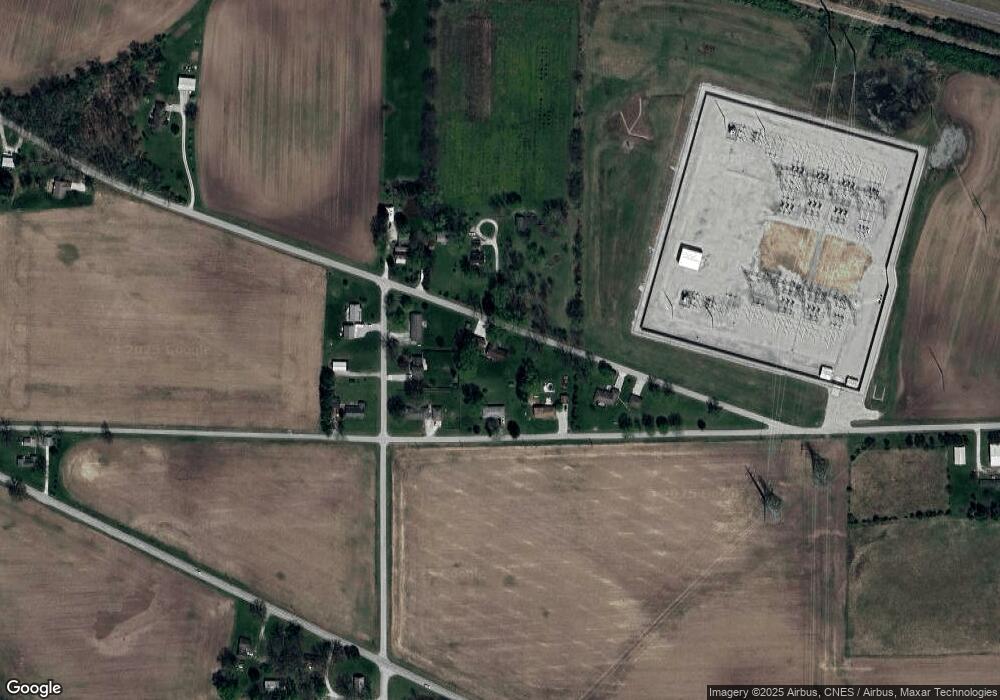
5945 Hoover Rd West Lafayette, IN 47906
Estimated Value: $273,000 - $364,000
--
Bed
1
Bath
1,768
Sq Ft
$179/Sq Ft
Est. Value
About This Home
This home is located at 5945 Hoover Rd, West Lafayette, IN 47906 and is currently estimated at $315,867, approximately $178 per square foot. 5945 Hoover Rd is a home located in Tippecanoe County with nearby schools including Benton Central Junior/Senior High School.
Ownership History
Date
Name
Owned For
Owner Type
Purchase Details
Closed on
Sep 12, 2005
Sold by
Bartlett Ronald D
Bought by
U S Bank Na and The Leader Mortgage Co Llc
Current Estimated Value
Purchase Details
Closed on
Oct 29, 2001
Sold by
Bennett Gary G and Bennett Linda K
Bought by
Fry Robert C and Fry Linda K
Home Financials for this Owner
Home Financials are based on the most recent Mortgage that was taken out on this home.
Original Mortgage
$99,031
Interest Rate
6.72%
Create a Home Valuation Report for This Property
The Home Valuation Report is an in-depth analysis detailing your home's value as well as a comparison with similar homes in the area
Home Values in the Area
Average Home Value in this Area
Purchase History
| Date | Buyer | Sale Price | Title Company |
|---|---|---|---|
| U S Bank Na | $46,357 | -- | |
| Fry Robert C | -- | Stewart Title Services |
Source: Public Records
Mortgage History
| Date | Status | Borrower | Loan Amount |
|---|---|---|---|
| Previous Owner | Fry Robert C | $99,031 |
Source: Public Records
Tax History Compared to Growth
Tax History
| Year | Tax Paid | Tax Assessment Tax Assessment Total Assessment is a certain percentage of the fair market value that is determined by local assessors to be the total taxable value of land and additions on the property. | Land | Improvement |
|---|---|---|---|---|
| 2024 | $1,386 | $227,700 | $25,400 | $202,300 |
| 2023 | $1,434 | $228,900 | $25,400 | $203,500 |
| 2022 | $1,319 | $199,300 | $25,400 | $173,900 |
| 2021 | $1,138 | $180,100 | $25,400 | $154,700 |
| 2020 | $893 | $165,200 | $25,400 | $139,800 |
| 2019 | $699 | $158,200 | $25,400 | $132,800 |
| 2018 | $688 | $154,000 | $23,700 | $130,300 |
| 2017 | $654 | $150,800 | $23,700 | $127,100 |
| 2016 | $606 | $147,200 | $23,700 | $123,500 |
| 2014 | $491 | $128,900 | $23,700 | $105,200 |
| 2013 | $563 | $130,500 | $23,700 | $106,800 |
Source: Public Records
Map
Nearby Homes
- 3823 Walnut St
- 3728 Gear St
- 7220 W 350 N
- 6509 Pin Oaks Dr
- 5940 Conkright Ln
- 4231 Black Forest Ln
- 1724 Bent Tree Trail
- 2855 Bentbrook Ln
- 4120 Black Forest Ln
- 4093 N 375 W
- 3801 W Capilano Dr
- 3507 W Capilano Dr
- 3933 Deerpath Place
- 3505 Durrington Ct
- 4312 Cathedral Ct
- 4091 Amesbury Dr
- 4413 Cairnapple Ct
- 3220 Morallion Dr
- 3314 Langford Way
- 3300 Langford Way
- 5930 W 350 N
- 3511 N 600 W
- 3521 N 600 W
- 5920 W 350 N
- 5950 W 350 N
- 5944 Hoover Rd
- 5916 Hoover Rd
- 5960 Hoover Rd
- 6000 W 350 N
- 5935 Hoover Rd
- 1193 Thorny Ln
- 101 Hagerstone Dr
- 4084 Westmoreland Dr
- 1133 Thorny Ln
- 4013 Westmoreland Dr
- 4096 Westmoreland Dr
- 6159 Hoover Rd
- 6208 Jackson Hwy
- 5625 W 350 N
- 6249 Hoover Rd
