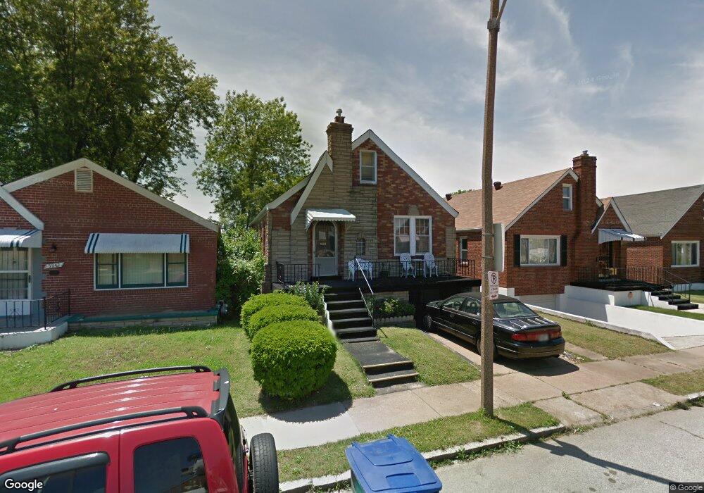
5946 Ferris Ave Saint Louis, MO 63120
Estimated Value: $43,000 - $78,000
Studio
1
Bath
1,872
Sq Ft
$29/Sq Ft
Est. Value
About This Home
This home is located at 5946 Ferris Ave, Saint Louis, MO 63120 and is currently estimated at $54,287, approximately $28 per square foot. 5946 Ferris Ave is a home located in St. Louis City with nearby schools including Laclede Elementary School, Sumner High School, and St. Ann Catholic School.
Ownership History
Date
Name
Owned For
Owner Type
Purchase Details
Closed on
Nov 21, 1997
Sold by
Jim Gross Real Estate Co
Bought by
Jackson Malinda
Current Estimated Value
Home Financials for this Owner
Home Financials are based on the most recent Mortgage that was taken out on this home.
Original Mortgage
$49,450
Outstanding Balance
$8,130
Interest Rate
7.3%
Mortgage Type
FHA
Estimated Equity
$46,157
Purchase Details
Closed on
Jun 4, 1997
Sold by
Gross Katherine J and Gross James M
Bought by
Jim Gross Real Estate Co
Purchase Details
Closed on
Apr 14, 1997
Sold by
Sec Hud
Bought by
Gross Katherine J
Create a Home Valuation Report for This Property
The Home Valuation Report is an in-depth analysis detailing your home's value as well as a comparison with similar homes in the area
Purchase History
| Date | Buyer | Sale Price | Title Company |
|---|---|---|---|
| Jackson Malinda | -- | Land Title Company | |
| Jim Gross Real Estate Co | -- | -- | |
| Gross Katherine J | -- | -- |
Source: Public Records
Mortgage History
| Date | Status | Borrower | Loan Amount |
|---|---|---|---|
| Open | Jackson Malinda | $49,450 |
Source: Public Records
Tax History
| Year | Tax Paid | Tax Assessment Tax Assessment Total Assessment is a certain percentage of the fair market value that is determined by local assessors to be the total taxable value of land and additions on the property. | Land | Improvement |
|---|---|---|---|---|
| 2025 | $293 | $3,290 | $290 | $3,000 |
| 2024 | $280 | $3,170 | $290 | $2,880 |
| 2023 | $280 | $3,170 | $290 | $2,880 |
| 2022 | $281 | $3,060 | $290 | $2,770 |
| 2021 | $281 | $3,060 | $290 | $2,770 |
| 2020 | $286 | $3,150 | $290 | $2,860 |
| 2019 | $285 | $3,160 | $290 | $2,870 |
| 2018 | $332 | $3,620 | $290 | $3,330 |
| 2017 | $327 | $3,610 | $290 | $3,330 |
| 2016 | $417 | $4,640 | $670 | $3,970 |
| 2015 | $380 | $4,640 | $670 | $3,970 |
| 2014 | $460 | $4,640 | $670 | $3,970 |
| 2013 | -- | $5,710 | $670 | $5,040 |
Source: Public Records
Map
Nearby Homes
- 5920 Dressell Ave
- 5918 Dressell Ave
- 6203 Dardanella Ave
- 34 Blakemore Place
- 6231 Dardanella Ave
- 2516 Crescent Ave
- 6239 Lorraine Ave
- 6120 Bircher St
- 6227 Greer Ave
- 6128 Bircher St
- 3715 Sylvan Place
- 2137 Kienlen Ave
- 2140 Crescent Ave
- 6211 Westerhoff Ave
- 3601 Ridgedale Ave
- 4119 Oakwood Ave
- 2148 Oakdale Ave
- 3727 Salome Ave
- 6514 Glenmore Ave
- 4236 Oakwood Ave
- 5950 Ferris Ave
- 5942 Ferris Ave
- 3724 Darby St
- 5954 Ferris Ave
- 5940 Ferris Ave
- 3720 Darby St
- 5934 Ferris Ave
- 5943 Ferris Ave
- 5947 Ferris Ave
- 3716 Darby St
- 5939 Ferris Ave
- 5953 Ferris Ave
- 6000 Grimshaw Ave
- 5932 Ferris Ave
- 5955 Ferris Ave
- 5937 Ferris Ave
- 6005 Grimshaw Ave
- 5935 Ferris Ave
- 5957 Ferris Ave
- 5928 Ferris Ave
Your Personal Tour Guide
Ask me questions while you tour the home.