Estimated Value: $554,000 - $738,422
4
Beds
4
Baths
2,816
Sq Ft
$222/Sq Ft
Est. Value
About This Home
This home is located at 5947 W Lain Lake Rd, Atoka, OK 74525 and is currently estimated at $626,474, approximately $222 per square foot. 5947 W Lain Lake Rd is a home located in Atoka County with nearby schools including Tushka High School.
Ownership History
Date
Name
Owned For
Owner Type
Purchase Details
Closed on
Aug 23, 2021
Sold by
Pollard John and Pollard Hali
Bought by
Bower Michael Wayne and Bower Jean Candy
Current Estimated Value
Purchase Details
Closed on
Oct 27, 2016
Sold by
Reta Hadley
Bought by
Pollard Hali and Pollard John
Purchase Details
Closed on
Jun 3, 2004
Sold by
Teddy Henderson
Bought by
Terrill Hadley
Purchase Details
Closed on
Apr 27, 2001
Sold by
Settlemire
Bought by
Henderson
Create a Home Valuation Report for This Property
The Home Valuation Report is an in-depth analysis detailing your home's value as well as a comparison with similar homes in the area
Home Values in the Area
Average Home Value in this Area
Purchase History
| Date | Buyer | Sale Price | Title Company |
|---|---|---|---|
| Bower Michael Wayne | $513,000 | Modern Abs & Title | |
| Pollard Hali | $80,000 | -- | |
| Terrill Hadley | $44,000 | -- | |
| Henderson | $32,000 | -- |
Source: Public Records
Mortgage History
| Date | Status | Borrower | Loan Amount |
|---|---|---|---|
| Closed | Pollard Hali | $66,546 |
Source: Public Records
Tax History Compared to Growth
Tax History
| Year | Tax Paid | Tax Assessment Tax Assessment Total Assessment is a certain percentage of the fair market value that is determined by local assessors to be the total taxable value of land and additions on the property. | Land | Improvement |
|---|---|---|---|---|
| 2024 | $4,445 | $56,523 | $1,545 | $54,978 |
| 2023 | $4,313 | $54,877 | $1,431 | $53,446 |
| 2022 | $3,683 | $46,883 | $1,106 | $45,777 |
| 2021 | $3,114 | $39,615 | $1,095 | $38,520 |
| 2020 | $3,127 | $39,615 | $1,095 | $38,520 |
| 2019 | $2,871 | $39,688 | $1,095 | $38,593 |
| 2018 | $149 | $1,999 | $1,083 | $916 |
| 2017 | $145 | $1,941 | $1,051 | $890 |
| 2016 | $141 | $1,884 | $939 | $945 |
| 2015 | $136 | $1,829 | $1,026 | $803 |
| 2014 | $132 | $1,776 | $1,025 | $751 |
Source: Public Records
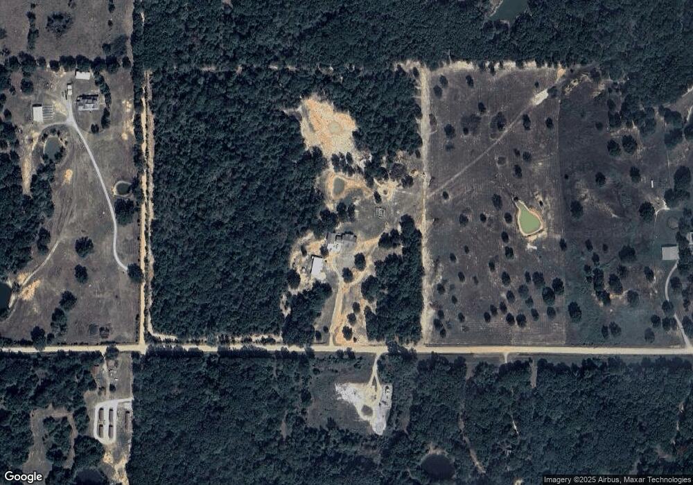
Map
Nearby Homes
- 5792 W Lain Lake Rd
- 5628 W Boggy Depot Rd
- 5764 S Carr Pen Rd
- 8646 U S 69
- 8540 S Childrens Ln
- 900 W Hardesty Rd
- 8667 W Hardwood Rd
- 342 W Mill St
- 0 Katy Rd
- 00 Katy Rd
- 7951 S Katy Rd
- 0 W Boggy Depot Rd
- 0 Butterfield Crossing Unit 2514342
- 161 N Hickory Ave
- 12365 S Chisolm Rd
- 4774 Twin Oaks Rd
- 0 Chicken Fight Rd Unit 2536985
- 2289 W Community Chapel Rd
- 13252 U S 69
- 0 E1890 Rd