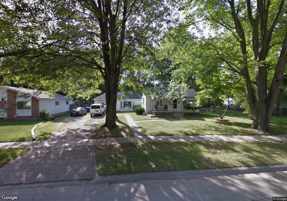
5948 Hazel St Taylor, MI 48180
Estimated Value: $164,000 - $216,000
3
Beds
1
Bath
1,520
Sq Ft
$122/Sq Ft
Est. Value
About This Home
This home is located at 5948 Hazel St, Taylor, MI 48180 and is currently estimated at $185,358, approximately $121 per square foot. 5948 Hazel St is a home located in Wayne County with nearby schools including Holland Elementary School, Hoover Middle School, and Taylor High School.
Ownership History
Date
Name
Owned For
Owner Type
Purchase Details
Closed on
Oct 14, 2010
Sold by
Labo James A and Labo Holly J
Bought by
First Catholic Federal Credit Union
Current Estimated Value
Purchase Details
Closed on
Aug 7, 2003
Sold by
Labo James A and Labo Holly J
Bought by
Wm Specialty Mortgage Loc Without Recour
Purchase Details
Closed on
Jan 22, 2001
Sold by
Standard Federal Bank
Bought by
Labo Holly J
Create a Home Valuation Report for This Property
The Home Valuation Report is an in-depth analysis detailing your home's value as well as a comparison with similar homes in the area
Home Values in the Area
Average Home Value in this Area
Purchase History
| Date | Buyer | Sale Price | Title Company |
|---|---|---|---|
| First Catholic Federal Credit Union | $40,000 | None Available | |
| Wm Specialty Mortgage Loc Without Recour | $90,213 | -- | |
| Labo Holly J | $31,517 | -- |
Source: Public Records
Tax History
| Year | Tax Paid | Tax Assessment Tax Assessment Total Assessment is a certain percentage of the fair market value that is determined by local assessors to be the total taxable value of land and additions on the property. | Land | Improvement |
|---|---|---|---|---|
| 2025 | $1,595 | $85,300 | $0 | $0 |
| 2024 | $1,545 | $72,700 | $0 | $0 |
| 2023 | $1,877 | $65,000 | $0 | $0 |
| 2022 | $1,474 | $54,500 | $0 | $0 |
| 2021 | $1,646 | $50,100 | $0 | $0 |
| 2020 | $1,629 | $47,500 | $0 | $0 |
| 2019 | $162,177 | $40,000 | $0 | $0 |
| 2018 | $1,266 | $35,300 | $0 | $0 |
| 2017 | $721 | $34,700 | $0 | $0 |
| 2016 | $1,609 | $33,800 | $0 | $0 |
| 2015 | $2,860 | $28,600 | $0 | $0 |
| 2013 | $3,390 | $35,000 | $0 | $0 |
| 2012 | $1,013 | $34,600 | $13,900 | $20,700 |
Source: Public Records
Map
Nearby Homes
- 5940 Daniels St
- 27059 Jeannette Ct
- 6144 Princess St
- 5970 John Daly St
- 6155 Princess St
- 6198 Princess St
- 27032 Joan St
- 27029 Michelle Ct
- 6330 Hampden St
- 6334 Hampden St
- 6237 Inkster Rd
- 6310 Duncan St
- 26424 Beverly Rd
- 26532 Powers Ave
- 5132 S Inkster Rd
- 26131 Amherst St
- 4863 Glenis St
- 6041 Fellrath St
- 26215 Beverly Rd
- 26735 Annapolis St
Your Personal Tour Guide
Ask me questions while you tour the home.