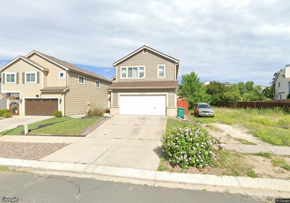
5949 Desoto Dr Colorado Springs, CO 80922
Stetson Hills NeighborhoodEstimated Value: $441,000 - $470,000
3
Beds
3
Baths
1,773
Sq Ft
$253/Sq Ft
Est. Value
About This Home
This home is located at 5949 Desoto Dr, Colorado Springs, CO 80922 and is currently estimated at $449,450, approximately $253 per square foot. 5949 Desoto Dr is a home located in El Paso County with nearby schools including Odyssey Elementary School, Skyview Middle School, and Vista Ridge High School.
Ownership History
Date
Name
Owned For
Owner Type
Purchase Details
Closed on
Sep 27, 1995
Sold by
U S Home Corp
Bought by
Griffin Timothy W and Griffin Sheila J
Current Estimated Value
Home Financials for this Owner
Home Financials are based on the most recent Mortgage that was taken out on this home.
Original Mortgage
$117,996
Outstanding Balance
$850
Interest Rate
7.88%
Mortgage Type
FHA
Estimated Equity
$448,600
Purchase Details
Closed on
Sep 15, 1992
Bought by
Griffin Timothy W and Griffin Sheila J
Purchase Details
Closed on
May 20, 1992
Bought by
Griffin Timothy W and Griffin Sheila J
Purchase Details
Closed on
Feb 1, 1987
Bought by
Griffin Timothy W and Griffin Sheila J
Create a Home Valuation Report for This Property
The Home Valuation Report is an in-depth analysis detailing your home's value as well as a comparison with similar homes in the area
Home Values in the Area
Average Home Value in this Area
Purchase History
| Date | Buyer | Sale Price | Title Company |
|---|---|---|---|
| Griffin Timothy W | $120,975 | -- | |
| Griffin Timothy W | -- | -- | |
| Griffin Timothy W | -- | -- | |
| Griffin Timothy W | -- | -- |
Source: Public Records
Mortgage History
| Date | Status | Borrower | Loan Amount |
|---|---|---|---|
| Open | Griffin Timothy W | $117,996 |
Source: Public Records
Tax History Compared to Growth
Tax History
| Year | Tax Paid | Tax Assessment Tax Assessment Total Assessment is a certain percentage of the fair market value that is determined by local assessors to be the total taxable value of land and additions on the property. | Land | Improvement |
|---|---|---|---|---|
| 2025 | $1,712 | $30,950 | -- | -- |
| 2024 | $1,613 | $30,910 | $4,620 | $26,290 |
| 2023 | $1,613 | $30,910 | $4,620 | $26,290 |
| 2022 | $1,361 | $21,900 | $4,170 | $17,730 |
| 2021 | $1,418 | $22,530 | $4,290 | $18,240 |
| 2020 | $1,230 | $19,330 | $3,580 | $15,750 |
| 2019 | $1,218 | $19,330 | $3,580 | $15,750 |
| 2018 | $997 | $15,530 | $3,020 | $12,510 |
| 2017 | $1,002 | $15,530 | $3,020 | $12,510 |
| 2016 | $1,006 | $15,390 | $2,950 | $12,440 |
| 2015 | $1,007 | $15,390 | $2,950 | $12,440 |
| 2014 | $975 | $14,620 | $2,790 | $11,830 |
Source: Public Records
Map
Nearby Homes
- 5935 Faxon Ct
- 5312 Ferrari Dr
- 6145 Plowshare Ct
- 5234 Ferrari Dr
- 6185 Hearth Ct
- 5618 Tomiche Dr
- 6170 Katy Ct
- 6315 Basalt Ct
- 6819 Barela Ct
- 5315 War Paint Place
- 6350 Naturita Trail
- 6125 Lowlander Ct
- 6330 Emma Ln
- 5465 War Paint Place
- 6180 Kettle Ct
- 5053 Blackcloud Loop
- 6734 Akerman Dr
- 5307 Belle Star Dr
- 5639 Mesa Mountain Way
- 6853 Summer Grace St
- 5955 Desoto Dr
- 5961 Desoto Dr
- 5965 Christa Ct
- 5985 Christa Ct
- 5967 Desoto Dr
- 5973 Desoto Dr
- 5950 Desoto Dr
- 5925 Christa Ct
- 5956 Desoto Dr
- 5944 Desoto Dr
- 5938 Desoto Dr
- 5962 Desoto Dr
- 5932 Desoto Dr
- 5979 Desoto Dr
- 5926 Desoto Dr
- 5215 Renault Ct
- 5968 Desoto Dr
- 5920 Christa Ct
- 6001 Desoto Dr
- 5920 Desoto Dr