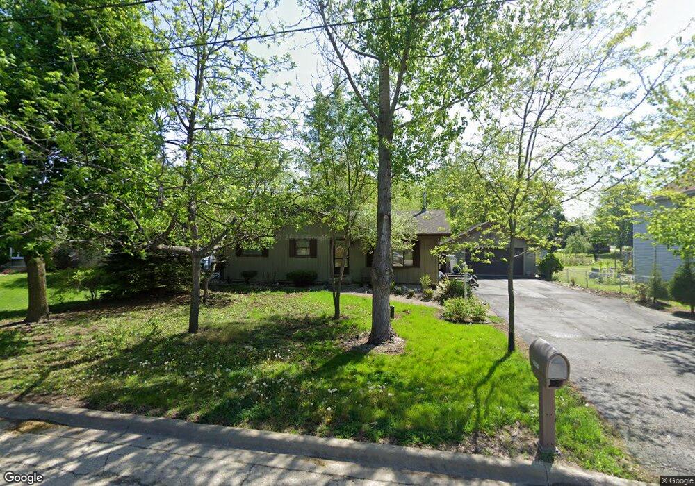
595 4th St Lemont, IL 60439
Southeast Lemont NeighborhoodEstimated Value: $283,000 - $427,000
3
Beds
1
Bath
1,121
Sq Ft
$331/Sq Ft
Est. Value
About This Home
This home is located at 595 4th St, Lemont, IL 60439 and is currently estimated at $370,503, approximately $330 per square foot. 595 4th St is a home located in Cook County with nearby schools including Oakwood School, River Valley School, and Old Quarry Middle School.
Ownership History
Date
Name
Owned For
Owner Type
Purchase Details
Closed on
May 31, 2004
Sold by
Unnerstall Carl R and Kamradt Lynn M
Bought by
Unnerstall Carl R
Current Estimated Value
Home Financials for this Owner
Home Financials are based on the most recent Mortgage that was taken out on this home.
Original Mortgage
$98,500
Interest Rate
5.91%
Mortgage Type
New Conventional
Create a Home Valuation Report for This Property
The Home Valuation Report is an in-depth analysis detailing your home's value as well as a comparison with similar homes in the area
Home Values in the Area
Average Home Value in this Area
Purchase History
| Date | Buyer | Sale Price | Title Company |
|---|---|---|---|
| Unnerstall Carl R | -- | Chicago Title Insurance Comp |
Source: Public Records
Mortgage History
| Date | Status | Borrower | Loan Amount |
|---|---|---|---|
| Closed | Unnerstall Carl R | $98,500 |
Source: Public Records
Tax History
| Year | Tax Paid | Tax Assessment Tax Assessment Total Assessment is a certain percentage of the fair market value that is determined by local assessors to be the total taxable value of land and additions on the property. | Land | Improvement |
|---|---|---|---|---|
| 2025 | $5,879 | $28,998 | $14,498 | $14,500 |
| 2024 | $5,879 | $28,998 | $14,498 | $14,500 |
| 2023 | $4,476 | $31,603 | $17,103 | $14,500 |
| 2022 | $4,476 | $21,856 | $7,236 | $14,620 |
| 2021 | $4,360 | $21,855 | $7,235 | $14,620 |
| 2020 | $4,460 | $21,855 | $7,235 | $14,620 |
| 2019 | $4,292 | $21,987 | $7,235 | $14,752 |
| 2018 | $4,220 | $21,987 | $7,235 | $14,752 |
| 2017 | $4,171 | $21,987 | $7,235 | $14,752 |
| 2016 | $4,283 | $20,637 | $5,920 | $14,717 |
| 2015 | $4,317 | $20,637 | $5,920 | $14,717 |
| 2014 | $4,371 | $20,637 | $5,920 | $14,717 |
| 2013 | $3,842 | $19,529 | $5,920 | $13,609 |
Source: Public Records
Map
Nearby Homes
- 1268 Durham Ln
- 525 Senon Dr
- 14517 Albany Ave
- 11174 Tuscany Ln
- 1343 Camelot Ln
- 1297 Mccarthy Rd
- 700 Czacki St
- 614 Czacki St
- 1004 Saddle Ln
- 14825 Steven Ct
- 400 Mccarthy Rd Unit 419
- 400 Mccarthy Rd Unit 421
- 16511 Kayla Dr
- 1200 Prairie Ln Unit 1-A
- 402 Stephen St
- 1204 Prairie Ln
- 120 Apple Ave
- 1224 Prairie Ln
- 14277 Lacey Dr
- 1228 Prairie Ln Unit 4B
Your Personal Tour Guide
Ask me questions while you tour the home.