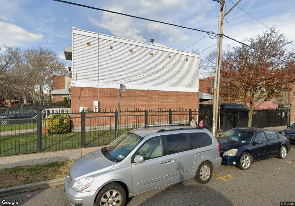
595 Alabama Ave Brooklyn, NY 11207
Brownsville NeighborhoodEstimated Value: $556,000 - $730,000
Studio
--
Bath
1,296
Sq Ft
$482/Sq Ft
Est. Value
About This Home
This home is located at 595 Alabama Ave, Brooklyn, NY 11207 and is currently estimated at $624,089, approximately $481 per square foot. 595 Alabama Ave is a home located in Kings County with nearby schools including P.S. 190 - Sheffield, Achievement First - East New York School, and Grace Christian Educational.
Ownership History
Date
Name
Owned For
Owner Type
Purchase Details
Closed on
Apr 19, 2000
Sold by
Nehemiah Housing Development Fund Co Inc
Bought by
Louinis Antoine C and Louinis Ghislaine A
Current Estimated Value
Home Financials for this Owner
Home Financials are based on the most recent Mortgage that was taken out on this home.
Original Mortgage
$77,000
Interest Rate
8.48%
Create a Home Valuation Report for This Property
The Home Valuation Report is an in-depth analysis detailing your home's value as well as a comparison with similar homes in the area
Home Values in the Area
Average Home Value in this Area
Purchase History
| Date | Buyer | Sale Price | Title Company |
|---|---|---|---|
| Louinis Antoine C | $102,000 | First American Title Ins Co |
Source: Public Records
Mortgage History
| Date | Status | Borrower | Loan Amount |
|---|---|---|---|
| Previous Owner | Louinis Antoine C | $77,000 | |
| Closed | Louinis Antoine C | $20,000 |
Source: Public Records
Tax History
| Year | Tax Paid | Tax Assessment Tax Assessment Total Assessment is a certain percentage of the fair market value that is determined by local assessors to be the total taxable value of land and additions on the property. | Land | Improvement |
|---|---|---|---|---|
| 2025 | $3,287 | $33,540 | $11,820 | $21,720 |
| 2024 | $3,287 | $32,760 | $11,820 | $20,940 |
| 2023 | $1,748 | $34,500 | $11,820 | $22,680 |
| 2022 | $1,598 | $30,600 | $11,820 | $18,780 |
| 2021 | $1,578 | $30,360 | $11,820 | $18,540 |
| 2019 | $1,271 | $23,820 | $11,820 | $12,000 |
| 2018 | $1,119 | $16,677 | $7,420 | $9,257 |
| 2017 | $2,153 | $15,734 | $6,477 | $9,257 |
| 2016 | $1,732 | $14,844 | $5,587 | $9,257 |
| 2015 | $433 | $14,005 | $4,748 | $9,257 |
| 2014 | $433 | $14,005 | $4,748 | $9,257 |
Source: Public Records
Map
Nearby Homes
- 610 Alabama Ave
- 606 Alabama Ave
- 589 Hinsdale St
- 582 Williams Ave
- 578 Williams Ave
- 650 Williams Ave
- 660 Williams Ave
- 584 Hinsdale St
- 533 Snediker Ave
- 525 Alabama Ave
- 719 Alabama Ave
- 494 Hegeman Ave
- 521 Hegeman Ave
- 1755 Linden Blvd
- 1753 Linden Blvd
- 664 New Jersey Ave
- 738 New Jersey Ave
- 421 New Lots Ave
- 90 Louisiana Ave
- 644 Vermont St
- 593 Alabama Ave
- 591 Alabama Ave
- 589 Alabama Ave
- 587 Alabama Ave
- 599 Alabama Ave
- 585 Alabama Ave
- 608 Georgia Ave Unit 3
- 608 Georgia Ave
- 604 Georgia Ave
- 601 Alabama Ave
- 602 Georgia Ave
- 583 Alabama Ave
- 598 Georgia Ave
- 596 Georgia Ave
- 592 Alabama Ave Unit 1
- 579 Alabama Ave
- 596 Alabama Ave
- 594 Alabama Ave
- 592 Georgia Ave
- 597 Alabama Ave
Your Personal Tour Guide
Ask me questions while you tour the home.