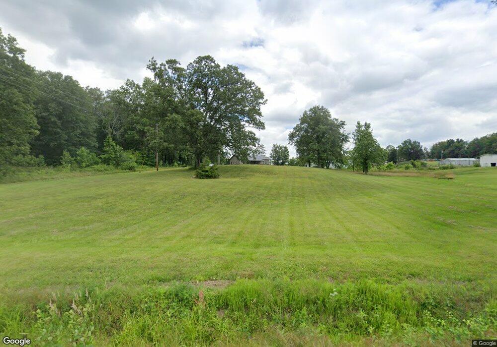
595 E Radio Tower Rd Scottsburg, IN 47170
Estimated Value: $196,000 - $291,000
3
Beds
2
Baths
1,920
Sq Ft
$132/Sq Ft
Est. Value
About This Home
This home is located at 595 E Radio Tower Rd, Scottsburg, IN 47170 and is currently estimated at $253,499, approximately $132 per square foot. 595 E Radio Tower Rd is a home located in Scott County with nearby schools including Scottsburg Senior High School.
Ownership History
Date
Name
Owned For
Owner Type
Purchase Details
Closed on
Sep 23, 2013
Sold by
Bixler Keith E and Bixler Tracy
Bought by
Sullivan Nyle A and Sullivan Kristie L
Current Estimated Value
Purchase Details
Closed on
Jun 20, 2012
Sold by
Parks David Bradley and Akemon Ann
Bought by
Bixler Keith E and Bixler Tracy
Purchase Details
Closed on
Apr 28, 2010
Sold by
Parks David Bradley and Akemon Ann
Bought by
Bixler Keith E and Bixler Tracey
Purchase Details
Closed on
Nov 26, 2008
Sold by
Bixler Keith E and Bixler Tracy
Bought by
Chennault Keith and Chennault Brandy
Create a Home Valuation Report for This Property
The Home Valuation Report is an in-depth analysis detailing your home's value as well as a comparison with similar homes in the area
Home Values in the Area
Average Home Value in this Area
Purchase History
| Date | Buyer | Sale Price | Title Company |
|---|---|---|---|
| Sullivan Nyle A | -- | None Available | |
| Bixler Keith E | -- | Kerry Thompson | |
| Bixler Keith E | -- | None Available | |
| Chennault Keith | $45,000 | Houston And Thompson P C | |
| Bixler Keith E | -- | None Available |
Source: Public Records
Tax History Compared to Growth
Tax History
| Year | Tax Paid | Tax Assessment Tax Assessment Total Assessment is a certain percentage of the fair market value that is determined by local assessors to be the total taxable value of land and additions on the property. | Land | Improvement |
|---|---|---|---|---|
| 2024 | $1,458 | $170,400 | $31,300 | $139,100 |
| 2023 | $1,288 | $157,200 | $31,300 | $125,900 |
| 2022 | $1,252 | $152,600 | $31,300 | $121,300 |
| 2021 | $1,152 | $138,600 | $31,300 | $107,300 |
| 2020 | $1,135 | $139,800 | $31,300 | $108,500 |
| 2019 | $1,053 | $132,500 | $31,300 | $101,200 |
| 2018 | $1,004 | $128,600 | $26,800 | $101,800 |
| 2017 | $924 | $125,200 | $26,800 | $98,400 |
| 2016 | $892 | $122,500 | $26,800 | $95,700 |
| 2014 | $305 | $27,200 | $24,000 | $3,200 |
| 2013 | $305 | $32,300 | $27,800 | $4,500 |
Source: Public Records
Map
Nearby Homes
- 304 Smith Rd
- 22909 West St
- 22826 East St
- 22811 Highway 31 S
- 0 W Leota Rd
- 544 E Hilltop Dr
- 2198 E State Road 356
- 2672 S Lake Rd S
- 4551 S Slate Ford Rd
- 1166 S Riley Dr
- 1012 S Riley Dr
- 138 E Lovers Ln
- 129 E Larry Ln
- 1625 Old State Rd
- 764 W Bellevue Ave
- 862 S Gardner St
- 5732 S Maplewood Dr
- 865 S Main St
- 628 S 1st St
- 2138 S Leslie Ln
- 4866 S Underwood Rd
- 537 E Radio Tower Rd
- 4859 S Underwood Rd
- 5014 S Underwood Rd
- 4919 S Underwood Rd
- 708 E Radio Tower Rd
- 506 E Radio Tower Rd
- 795 E Radio Tower Rd
- 785 E Radio Tower Rd
- 4703 S Underwood Rd
- 869 E Radio Tower Rd
- 827 E Radio Tower Rd
- 870 E Radio Tower Rd
- 4518 S Underwood Rd
- 4592 S Underwood Rd
- 305 E Radio Tower Rd
- 5139 S Underwood Rd
- 340 E Radio Tower Rd
- 5172 S Underwood Rd
- 929 E Radio Tower Rd