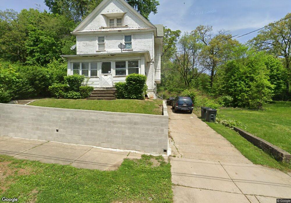
595 Euclid Ave Akron, OH 44307
Sherbondy Hill NeighborhoodEstimated Value: $48,000 - $66,000
3
Beds
1
Bath
1,224
Sq Ft
$48/Sq Ft
Est. Value
About This Home
This home is located at 595 Euclid Ave, Akron, OH 44307 and is currently estimated at $58,878, approximately $48 per square foot. 595 Euclid Ave is a home located in Summit County with nearby schools including Emerson Elementary School and St. Vincent Elementary School.
Ownership History
Date
Name
Owned For
Owner Type
Purchase Details
Closed on
Aug 13, 2025
Sold by
Rowan Ronald Ray and Cooper Taneeya
Bought by
Akron Zoological Park
Current Estimated Value
Purchase Details
Closed on
Aug 31, 2007
Sold by
Rowan Ophelia and Rowan Ronald R
Bought by
Rowan Ronald Ray
Purchase Details
Closed on
Mar 17, 2001
Sold by
Walker Margaret Powell Barbara J and Paige Julieanne
Bought by
Rowan Ophelia
Purchase Details
Closed on
Feb 22, 2001
Sold by
Estate Of Lee Grant Reasor Jr
Bought by
Powell Barbara J and Hammonds Ramona
Purchase Details
Closed on
Jan 27, 1999
Sold by
Estate Of Wilma C Reasor
Bought by
Powell Barbara J and Paige Julieanne E
Create a Home Valuation Report for This Property
The Home Valuation Report is an in-depth analysis detailing your home's value as well as a comparison with similar homes in the area
Home Values in the Area
Average Home Value in this Area
Purchase History
| Date | Buyer | Sale Price | Title Company |
|---|---|---|---|
| Akron Zoological Park | $65,000 | American Title Solutions | |
| Rowan Ronald Ray | -- | None Available | |
| Rowan Ophelia | $17,000 | Minnesota Title Agency Inc | |
| Powell Barbara J | -- | -- | |
| Powell Barbara J | -- | -- |
Source: Public Records
Tax History Compared to Growth
Tax History
| Year | Tax Paid | Tax Assessment Tax Assessment Total Assessment is a certain percentage of the fair market value that is determined by local assessors to be the total taxable value of land and additions on the property. | Land | Improvement |
|---|---|---|---|---|
| 2025 | $1,131 | $12,604 | $4,183 | $8,421 |
| 2024 | $787 | $12,604 | $4,183 | $8,421 |
| 2023 | $1,131 | $12,604 | $4,183 | $8,421 |
| 2022 | $625 | $7,414 | $2,461 | $4,953 |
| 2021 | $625 | $7,414 | $2,461 | $4,953 |
| 2020 | $618 | $7,410 | $2,460 | $4,950 |
| 2019 | $879 | $11,120 | $3,730 | $7,390 |
| 2018 | $868 | $11,120 | $3,730 | $7,390 |
| 2017 | $894 | $11,120 | $3,730 | $7,390 |
| 2016 | $895 | $11,300 | $3,730 | $7,570 |
| 2015 | $894 | $11,300 | $3,730 | $7,570 |
| 2014 | $887 | $11,300 | $3,730 | $7,570 |
| 2013 | $907 | $11,840 | $3,730 | $8,110 |
Source: Public Records
Map
Nearby Homes
- 759 Fern St
- 817 Raymond St
- 577 Rhodes Ave
- 677 Vernon Odom Blvd
- 543 Rhodes Ave
- 568 Auld Farm Cir
- 737 Vernon Odom Blvd
- 605 East Ave
- 614 East Ave
- 492 Douglas St
- 483 Bishop St
- 524 Auld Farm Cir
- 368 Campbell St
- 853 Fried St
- 776 Krause Ct
- 849 Glenn St
- 636 Noble Ave
- 881 Stoner St
- 985 Diana Ave
- 1132 Bristol Terrace