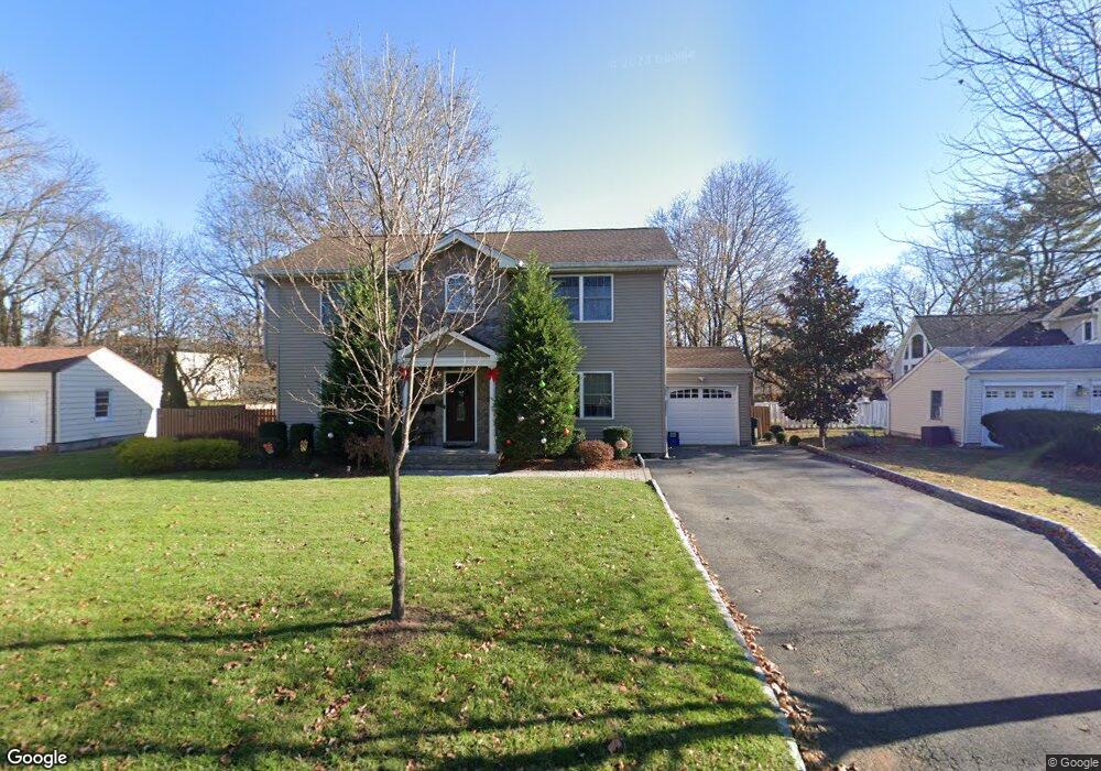
595 Freeland Ave Paramus, NJ 07652
Estimated Value: $956,182 - $1,131,000
Studio
--
Bath
2,082
Sq Ft
$492/Sq Ft
Est. Value
About This Home
This home is located at 595 Freeland Ave, Paramus, NJ 07652 and is currently estimated at $1,024,546, approximately $492 per square foot. 595 Freeland Ave is a home located in Bergen County with nearby schools including Paramus High School, Alpine Learning Group, and Naaleh High School for Girls.
Ownership History
Date
Name
Owned For
Owner Type
Purchase Details
Closed on
Aug 1, 2003
Sold by
Manke Ronald
Bought by
Marciniak Jeffrey and Marciniak Adrienne
Current Estimated Value
Home Financials for this Owner
Home Financials are based on the most recent Mortgage that was taken out on this home.
Original Mortgage
$255,000
Interest Rate
6.31%
Purchase Details
Closed on
Jun 24, 1996
Sold by
Frederick Ernest
Bought by
Manke Ronald
Home Financials for this Owner
Home Financials are based on the most recent Mortgage that was taken out on this home.
Original Mortgage
$153,000
Interest Rate
8.05%
Create a Home Valuation Report for This Property
The Home Valuation Report is an in-depth analysis detailing your home's value as well as a comparison with similar homes in the area
Home Values in the Area
Average Home Value in this Area
Purchase History
| Date | Buyer | Sale Price | Title Company |
|---|---|---|---|
| Marciniak Jeffrey | $385,000 | -- | |
| Manke Ronald | $180,000 | -- |
Source: Public Records
Mortgage History
| Date | Status | Borrower | Loan Amount |
|---|---|---|---|
| Previous Owner | Marciniak Jeffrey | $255,000 | |
| Previous Owner | Manke Ronald | $153,000 |
Source: Public Records
Tax History
| Year | Tax Paid | Tax Assessment Tax Assessment Total Assessment is a certain percentage of the fair market value that is determined by local assessors to be the total taxable value of land and additions on the property. | Land | Improvement |
|---|---|---|---|---|
| 2025 | $10,391 | $739,300 | $411,500 | $327,800 |
| 2024 | $10,273 | $686,300 | $375,800 | $310,500 |
| 2023 | $9,711 | $669,700 | $357,700 | $312,000 |
| 2022 | $9,711 | $625,700 | $333,400 | $292,300 |
| 2021 | $9,448 | $571,200 | $302,600 | $268,600 |
| 2020 | $8,967 | $562,200 | $297,600 | $264,600 |
| 2019 | $9,115 | $491,100 | $266,600 | $224,500 |
| 2018 | $9,002 | $491,100 | $266,600 | $224,500 |
| 2017 | $8,845 | $491,100 | $266,600 | $224,500 |
| 2016 | $8,604 | $491,100 | $266,600 | $224,500 |
| 2015 | $8,516 | $491,100 | $266,600 | $224,500 |
| 2014 | $8,442 | $491,100 | $266,600 | $224,500 |
Source: Public Records
Map
Nearby Homes
- 599 Freeland Ave
- 589 Freeland Ave
- 598 Falmouth Ave
- 127 Birchwood Rd
- 603 Freeland Ave
- 602 Falmouth Ave
- 594 Falmouth Ave
- 594 Freeland Ave
- 598 Freeland Ave
- 607 Freeland Ave
- 606 Falmouth Ave
- 139 Birchwood Rd
- 590 Falmouth Ave
- 602 Freeland Ave
- 611 Freeland Ave
- 610 Falmouth Ave
- 606 Freeland Ave
- 134 Birchwood Rd
- 130 Birchwood Rd
- 138 Birchwood Rd
Your Personal Tour Guide
Ask me questions while you tour the home.