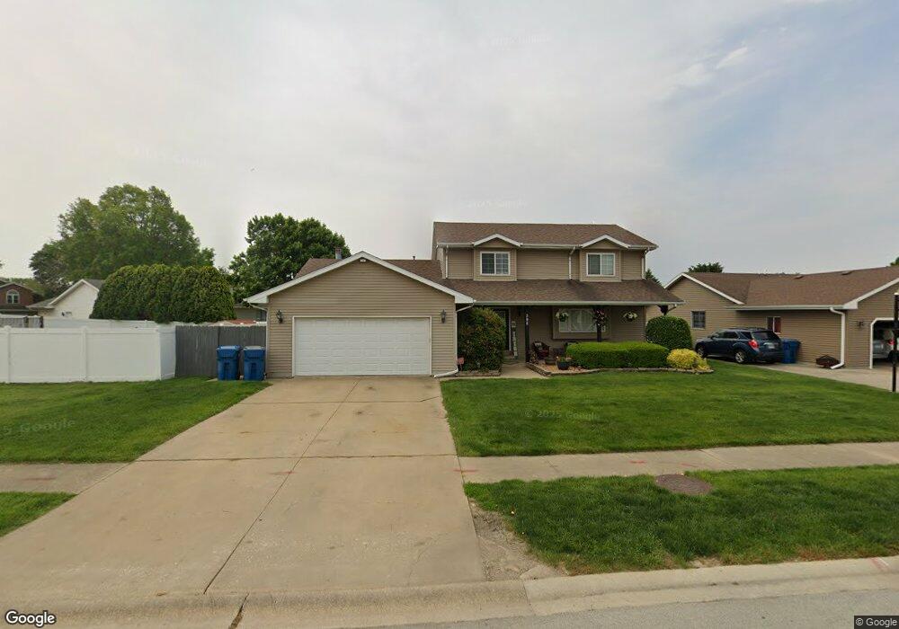
595 Meadows Rd S Bourbonnais, IL 60914
Estimated Value: $251,000 - $351,000
3
Beds
3
Baths
1,254
Sq Ft
$225/Sq Ft
Est. Value
About This Home
This home is located at 595 Meadows Rd S, Bourbonnais, IL 60914 and is currently estimated at $282,615, approximately $225 per square foot. 595 Meadows Rd S is a home located in Kankakee County with nearby schools including Shabbona Elementary School, Liberty Intermediate School, and Bourbonnais Upper Grade Center.
Ownership History
Date
Name
Owned For
Owner Type
Purchase Details
Closed on
Jul 3, 2014
Sold by
Fortin Randall K and Fortin Jennifer L
Bought by
Arseneau Russell L and Arseneau Dana R
Current Estimated Value
Home Financials for this Owner
Home Financials are based on the most recent Mortgage that was taken out on this home.
Original Mortgage
$176,700
Outstanding Balance
$134,391
Interest Rate
4.12%
Mortgage Type
New Conventional
Estimated Equity
$148,224
Create a Home Valuation Report for This Property
The Home Valuation Report is an in-depth analysis detailing your home's value as well as a comparison with similar homes in the area
Home Values in the Area
Average Home Value in this Area
Purchase History
| Date | Buyer | Sale Price | Title Company |
|---|---|---|---|
| Arseneau Russell L | $186,000 | Homestar Title |
Source: Public Records
Mortgage History
| Date | Status | Borrower | Loan Amount |
|---|---|---|---|
| Open | Arseneau Russell L | $176,700 |
Source: Public Records
Tax History
| Year | Tax Paid | Tax Assessment Tax Assessment Total Assessment is a certain percentage of the fair market value that is determined by local assessors to be the total taxable value of land and additions on the property. | Land | Improvement |
|---|---|---|---|---|
| 2024 | $6,046 | $78,999 | $6,562 | $72,437 |
| 2023 | $5,524 | $73,147 | $6,076 | $67,071 |
| 2022 | $5,530 | $70,503 | $5,856 | $64,647 |
| 2021 | $5,271 | $67,110 | $5,727 | $61,383 |
| 2020 | $5,311 | $66,377 | $5,574 | $60,803 |
| 2019 | $5,092 | $63,287 | $5,412 | $57,875 |
| 2018 | $4,925 | $61,234 | $5,332 | $55,902 |
| 2017 | $4,824 | $59,741 | $5,202 | $54,539 |
| 2016 | $4,687 | $58,326 | $5,125 | $53,201 |
| 2015 | $4,647 | $57,226 | $5,074 | $52,152 |
| 2014 | $4,517 | $57,854 | $5,074 | $52,780 |
| 2013 | -- | $60,442 | $5,074 | $55,368 |
Source: Public Records
Map
Nearby Homes
- 214 Greenbriar Ln
- 530 Meadows Rd S
- Lot 5 Larry Power Rd
- 1565 Stefanie Ln
- 1063 Yale Ave
- 273 Harvard Ave
- 206 Meadows Rd S
- 9 Hilltop Dr
- 1687 Jennifer Dr
- 16 Kim Dr
- 22 Emery Dr
- 172 Anita Dr
- 15 Hanson Dr
- 261 Mohawk Dr
- 42 Hanson Dr
- 54 Bonds Dr
- 366 Centerpoint Dr S
- 675 Washington Ave
- 1356 Eagle Bluff Dr
- 899 Armour Rd
- 599 Meadows Rd S
- 598 Meadows Rd S
- 1297 Hartley Ave
- 590 Meadows Rd S
- 1299 Hartley Ave
- 1298 Hartley Ave
- 1296 Hartley Ave
- 499 Meadows Rd N
- 586 Meadows Rd S
- 1289 Hartley Ave
- 480 Meadows Rd N
- 1294 Hartley Ave
- 495 Meadows Rd N
- 1292 Hartley Ave
- 470 Meadows Rd N
- 582 Meadows Rd S
- 1287 Hartley Ave
- 578 Meadows Rd S
- 1290 Hartley Ave
Your Personal Tour Guide
Ask me questions while you tour the home.