595 Partridge Cir Hudson, WI 54016
Estimated Value: $434,000 - $486,000
3
Beds
2
Baths
--
Sq Ft
88,427
Sq Ft Lot
About This Home
This home is located at 595 Partridge Cir, Hudson, WI 54016 and is currently estimated at $464,281. 595 Partridge Cir is a home located in St. Croix County with nearby schools including River Crest Elementary School, Hudson Middle School, and Hudson High School.
Ownership History
Date
Name
Owned For
Owner Type
Purchase Details
Closed on
Sep 27, 2017
Sold by
Robb Kevin L
Bought by
King Anthony B and King Andrea L
Current Estimated Value
Home Financials for this Owner
Home Financials are based on the most recent Mortgage that was taken out on this home.
Original Mortgage
$212,800
Outstanding Balance
$175,941
Interest Rate
3.89%
Mortgage Type
New Conventional
Estimated Equity
$288,340
Purchase Details
Closed on
May 10, 2017
Sold by
Fisher Carmen L
Bought by
Robb Kevin L
Purchase Details
Closed on
Aug 2, 2010
Sold by
Robb Carmen L and Fisher Carmen L
Bought by
Fisher Carmen L
Create a Home Valuation Report for This Property
The Home Valuation Report is an in-depth analysis detailing your home's value as well as a comparison with similar homes in the area
Home Values in the Area
Average Home Value in this Area
Purchase History
| Date | Buyer | Sale Price | Title Company |
|---|---|---|---|
| King Anthony B | $266,000 | -- | |
| Robb Kevin L | -- | -- | |
| Fisher Carmen L | -- | None Available |
Source: Public Records
Mortgage History
| Date | Status | Borrower | Loan Amount |
|---|---|---|---|
| Open | King Anthony B | $212,800 |
Source: Public Records
Tax History
| Year | Tax Paid | Tax Assessment Tax Assessment Total Assessment is a certain percentage of the fair market value that is determined by local assessors to be the total taxable value of land and additions on the property. | Land | Improvement |
|---|---|---|---|---|
| 2025 | $4,239 | $380,400 | $120,300 | $260,100 |
| 2024 | $41 | $380,400 | $120,300 | $260,100 |
| 2023 | $4,057 | $380,400 | $120,300 | $260,100 |
| 2022 | $3,899 | $275,700 | $105,200 | $170,500 |
| 2021 | $3,844 | $275,700 | $105,200 | $170,500 |
| 2020 | $3,813 | $275,700 | $105,200 | $170,500 |
| 2019 | $3,419 | $275,700 | $105,200 | $170,500 |
| 2018 | $2,883 | $275,700 | $105,200 | $170,500 |
| 2017 | $2,577 | $158,200 | $45,100 | $113,100 |
| 2016 | $2,577 | $158,200 | $45,100 | $113,100 |
| 2015 | $2,221 | $158,200 | $45,100 | $113,100 |
| 2014 | $2,087 | $158,200 | $45,100 | $113,100 |
| 2013 | $2,140 | $158,200 | $45,100 | $113,100 |
Source: Public Records
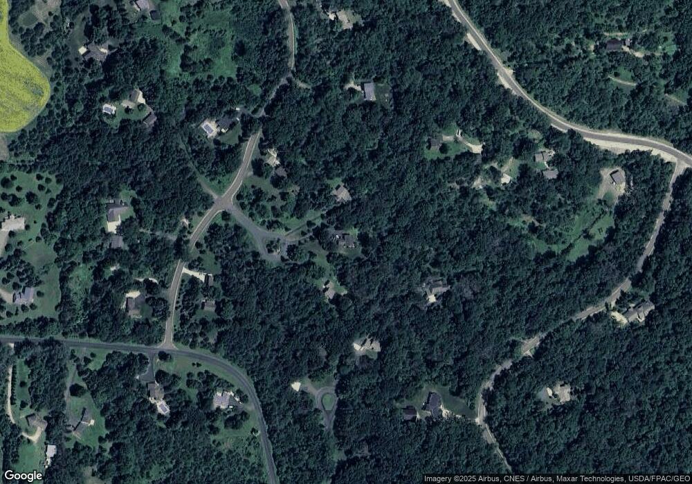
Map
Nearby Homes
- 640 Gilbert Rd
- XXX Gilbert Rd
- 665 Darnold Dr
- 671 Darnold Dr
- 28 Heritage Blvd
- 12 Palomino Ct
- 117 Heirloom Ave
- 701 Rodeo Dr
- 127 Stratford Way Unit 6
- 90th Tower Rd
- 489 Canyon Blvd
- 740 Aldro Rd
- 85 Deerwood Ct
- 518 Pamela Ln
- 91 Deerwood Ct
- Lot 25 Hanley Rd
- 708 Mojo Trail
- 570 Coulee Trail
- 696 Buttercup Ct
- 464 Stageline Rd
- 596 Partridge Cir
- 593 Partridge Cir
- 573 Twin Oaks Cir
- 575 Twin Oaks Cir
- 576 Twin Oaks Cir
- 578 Twin Oaks Cir
- 584 Twin Oaks Cir
- 629 Countryside Ln
- 636 Countryside Ln
- 623 Countryside Ln
- 625 Countryside Ln
- 635 Countryside Ln
- 620 Countryside Ln
- 621 Countryside Ln
- 637 Countryside Ln
- 614 Countryside Ln
- 638 Countryside Cir
- 649 Gilbert Rd
- 635 Gilbert Rd
- 613 Countryside Ln
Your Personal Tour Guide
Ask me questions while you tour the home.