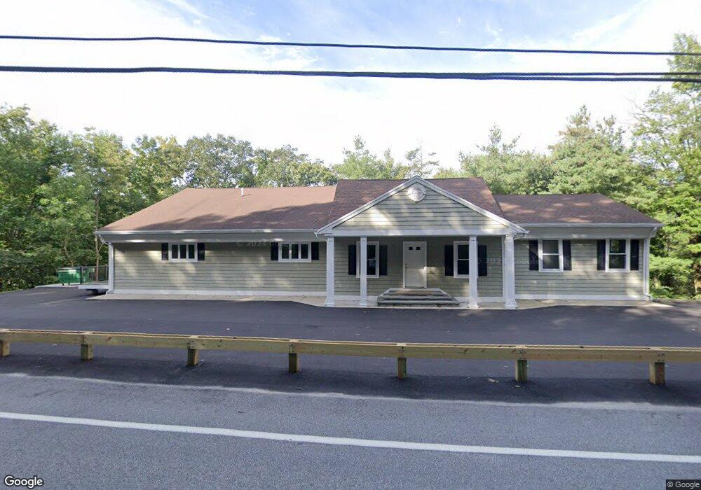
595 Saint Paul St North Smithfield, RI 02896
Estimated Value: $543,911
1
Bed
3
Baths
4,286
Sq Ft
$127/Sq Ft
Est. Value
About This Home
This home is located at 595 Saint Paul St, North Smithfield, RI 02896 and is currently priced at $543,911, approximately $126 per square foot. 595 Saint Paul St is a home located in Providence County with nearby schools including North Smithfield Elementary School, North Smithfield Middle School, and North Smithfield High School.
Ownership History
Date
Name
Owned For
Owner Type
Purchase Details
Closed on
Aug 28, 2019
Sold by
Lagasse Stephen P
Bought by
Stephen P Lagasse Ft
Current Estimated Value
Purchase Details
Closed on
Mar 4, 2003
Sold by
Laliberte Elizabeth T and Laliberte Diane M
Bought by
Lagasse Stephen P
Home Financials for this Owner
Home Financials are based on the most recent Mortgage that was taken out on this home.
Original Mortgage
$218,000
Interest Rate
5.98%
Mortgage Type
Purchase Money Mortgage
Create a Home Valuation Report for This Property
The Home Valuation Report is an in-depth analysis detailing your home's value as well as a comparison with similar homes in the area
Home Values in the Area
Average Home Value in this Area
Purchase History
| Date | Buyer | Sale Price | Title Company |
|---|---|---|---|
| Stephen P Lagasse Ft | -- | -- | |
| Stephen P Lagasse Ft | -- | -- | |
| Lagasse Stephen P | $218,000 | -- | |
| Lagasse Stephen P | $218,000 | -- |
Source: Public Records
Mortgage History
| Date | Status | Borrower | Loan Amount |
|---|---|---|---|
| Previous Owner | Lagasse Stephen P | $50,000 | |
| Previous Owner | Lagasse Stephen P | $215,000 | |
| Previous Owner | Lagasse Stephen P | $218,000 |
Source: Public Records
Tax History Compared to Growth
Tax History
| Year | Tax Paid | Tax Assessment Tax Assessment Total Assessment is a certain percentage of the fair market value that is determined by local assessors to be the total taxable value of land and additions on the property. | Land | Improvement |
|---|---|---|---|---|
| 2024 | $3,292 | $222,900 | $84,300 | $138,600 |
| 2023 | $3,176 | $222,900 | $84,300 | $138,600 |
| 2022 | $3,101 | $222,900 | $84,300 | $138,600 |
| 2021 | $3,279 | $201,300 | $81,000 | $120,300 |
| 2020 | $3,279 | $201,300 | $81,000 | $120,300 |
| 2019 | $3,607 | $227,300 | $81,000 | $146,300 |
| 2018 | $3,339 | $193,700 | $57,200 | $136,500 |
| 2017 | $3,258 | $193,700 | $57,200 | $136,500 |
| 2016 | $3,169 | $193,700 | $57,200 | $136,500 |
| 2015 | $1,980 | $107,000 | $57,200 | $49,800 |
| 2014 | $4,132 | $232,500 | $99,300 | $133,200 |
Source: Public Records
Map
Nearby Homes
- 470 Saint Paul St
- 5 Lincoln Dr
- 612 Great Rd
- 5 Branch Ave
- 4 Sharon Pkwy
- 246 Saint Paul St
- 12 Keough St
- 1 Tupperware Dr Unit 226
- 1 Tupperware Dr Unit 138
- 1 Tupperware Dr Unit 108
- 14 Lapre Rd
- 175 Saint Paul St
- 53 Maple Ave
- 724 Fairmount St
- 29 Graves Ave
- 81 Fountain St
- 22 Colerick Ave
- 235 6th Ave
- 225-227 Main St
- 517 Fairmount St
- 595 Saint Paul St Unit 3
- 595 Saint Paul St Unit 2
- 595 Saint Paul St Unit 1
- 585 Saint Paul St
- 584 Saint Paul St
- 635 Saint Paul St
- 573 Saint Paul St
- 17 Franconia Dr
- 2 Franconia Dr
- 580 Saint Paul St
- 643 Saint Paul St
- 570 Saint Paul St
- 14 Lincoln Dr
- 12 Lincoln Dr
- 538 Saint Paul St
- 490 Saint Paul St
- 16 Lincoln Dr
- 18 Lincoln Dr
- 10 Lincoln Dr
- 2 Adams Cir