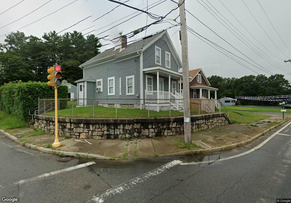
595 State Rd Westport, MA 02790
North Westport NeighborhoodEstimated Value: $377,000 - $402,000
3
Beds
--
Bath
1,004
Sq Ft
$389/Sq Ft
Est. Value
About This Home
This home is located at 595 State Rd, Westport, MA 02790 and is currently estimated at $390,937, approximately $389 per square foot. 595 State Rd is a home located in Bristol County with nearby schools including Alice A. Macomber Primary School, Westport Elementary School, and Westport Middle-High School.
Ownership History
Date
Name
Owned For
Owner Type
Purchase Details
Closed on
Jan 6, 1989
Sold by
Vandall Leo P
Bought by
Perry Harold M
Current Estimated Value
Home Financials for this Owner
Home Financials are based on the most recent Mortgage that was taken out on this home.
Original Mortgage
$179,000
Interest Rate
10.32%
Mortgage Type
Purchase Money Mortgage
Create a Home Valuation Report for This Property
The Home Valuation Report is an in-depth analysis detailing your home's value as well as a comparison with similar homes in the area
Home Values in the Area
Average Home Value in this Area
Purchase History
| Date | Buyer | Sale Price | Title Company |
|---|---|---|---|
| Perry Harold M | $171,042 | -- |
Source: Public Records
Mortgage History
| Date | Status | Borrower | Loan Amount |
|---|---|---|---|
| Closed | Perry Harold M | $231,518 | |
| Closed | Perry Harold M | $179,000 |
Source: Public Records
Tax History Compared to Growth
Tax History
| Year | Tax Paid | Tax Assessment Tax Assessment Total Assessment is a certain percentage of the fair market value that is determined by local assessors to be the total taxable value of land and additions on the property. | Land | Improvement |
|---|---|---|---|---|
| 2025 | $2,210 | $296,700 | $133,100 | $163,600 |
| 2024 | $2,203 | $285,000 | $123,300 | $161,700 |
| 2023 | $2,069 | $253,500 | $105,100 | $148,400 |
| 2022 | $2,015 | $237,600 | $105,100 | $132,500 |
| 2021 | $1,962 | $227,600 | $95,500 | $132,100 |
| 2020 | $1,887 | $223,800 | $91,700 | $132,100 |
| 2019 | $1,732 | $209,400 | $97,100 | $112,300 |
| 2018 | $1,701 | $208,200 | $116,200 | $92,000 |
| 2017 | $1,642 | $206,000 | $116,200 | $89,800 |
| 2016 | $1,629 | $206,000 | $116,200 | $89,800 |
| 2015 | $1,532 | $193,200 | $116,200 | $77,000 |
Source: Public Records
Map
Nearby Homes
- 20 Faulkner St
- 116 Gifford Rd
- 3 Diane Way
- 9 Kyle Jacob Rd
- 100 D Dr
- 15 S Breault St
- 16 S Berryman St
- 9 Register Ave
- 565 Highland Ave
- 1276 Old Fall River Rd
- 92 Benoit St
- 33 William St
- 6 Beaulieu St
- 25 Beaulieu St
- 19 Charles Joseph Dr
- 2 Donna Marie Dr
- 128 Old Bedford Rd
- 771 Sanford Rd
- 27 Dias Ave
- 96 Forge Rd