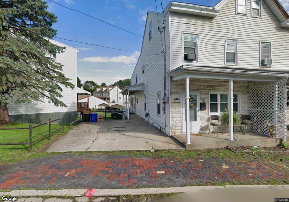
595 Wade Rd Saint Clair, PA 17970
Estimated Value: $92,706 - $160,000
3
Beds
1
Bath
--
Sq Ft
3,485
Sq Ft Lot
About This Home
This home is located at 595 Wade Rd, Saint Clair, PA 17970 and is currently estimated at $126,677. 595 Wade Rd is a home located in Schuylkill County with nearby schools including Saint Clair Area Elementary/Middle School, Gillingham Charter School, and ASSUMPTION BVM SCHOOL.
Ownership History
Date
Name
Owned For
Owner Type
Purchase Details
Closed on
Sep 20, 2023
Sold by
Witwer Katelynn
Bought by
Polanco Diogenes Burgos and Santana Estefany Rafaela
Current Estimated Value
Purchase Details
Closed on
Nov 12, 2020
Sold by
Acm Vision V Llc
Bought by
Witwer Katelynn
Purchase Details
Closed on
Nov 25, 2013
Sold by
Bat Holdings One Llc
Bought by
Acm Vision V Llc
Purchase Details
Closed on
Apr 2, 2012
Sold by
Cpi Housing Fund Llc
Bought by
Bat Holdings One Llc
Purchase Details
Closed on
Aug 18, 2011
Sold by
Wells Fargo Bank Na
Bought by
Cpi Housing Fund Llc
Create a Home Valuation Report for This Property
The Home Valuation Report is an in-depth analysis detailing your home's value as well as a comparison with similar homes in the area
Home Values in the Area
Average Home Value in this Area
Purchase History
| Date | Buyer | Sale Price | Title Company |
|---|---|---|---|
| Polanco Diogenes Burgos | $20,000 | None Listed On Document | |
| Witwer Katelynn | -- | None Available | |
| Acm Vision V Llc | $12,416 | None Available | |
| Bat Holdings One Llc | -- | None Available | |
| Cpi Housing Fund Llc | $7,500 | None Available |
Source: Public Records
Tax History
| Year | Tax Paid | Tax Assessment Tax Assessment Total Assessment is a certain percentage of the fair market value that is determined by local assessors to be the total taxable value of land and additions on the property. | Land | Improvement |
|---|---|---|---|---|
| 2025 | $1,239 | $18,835 | $3,480 | $15,355 |
| 2024 | $1,159 | $18,835 | $3,480 | $15,355 |
| 2023 | $1,102 | $18,835 | $3,480 | $15,355 |
| 2022 | $1,102 | $18,835 | $3,480 | $15,355 |
| 2021 | $1,113 | $18,835 | $3,480 | $15,355 |
| 2020 | $1,113 | $18,835 | $3,480 | $15,355 |
| 2018 | $1,091 | $18,835 | $3,480 | $15,355 |
| 2017 | $1,048 | $18,835 | $3,480 | $15,355 |
| 2015 | -- | $18,835 | $3,480 | $15,355 |
| 2011 | -- | $18,835 | $0 | $0 |
Source: Public Records
Map
Nearby Homes
- 108 Cherry St
- 117 Chestnut St
- 32 S Front St
- 219 S 3rd St
- 0, 305, 307 S 2nd St
- 331 S 2nd St
- 141 S Nicholas St
- 320 S Mill St
- 1 S Front St Thwing St
- Lot 30 Elmwood Ct
- 0 - Lot 10 Elmwood Ct Unit 10
- 714 Port Carbon Saint Clair Hwy
- 0 Caroline Ave Unit PASK2022658
- 702 & 698 Port Carbon St Clair Hwy
- 15 Marcello Dr
- 11 Bryn Mawr Ave
- 935 N Centre St
- 758 Walnut St
- 143 W Railroad St
- 0 Schuylkill Manor Rd Unit PASK2018142
Your Personal Tour Guide
Ask me questions while you tour the home.