5950 SW King Ln Culver, OR 97734
Estimated Value: $441,000
2
Beds
1
Bath
896
Sq Ft
$492/Sq Ft
Est. Value
About This Home
This home is located at 5950 SW King Ln, Culver, OR 97734 and is currently estimated at $441,000, approximately $492 per square foot. 5950 SW King Ln is a home located in Jefferson County with nearby schools including Culver Elementary School, Culver Middle School, and Culver High School.
Ownership History
Date
Name
Owned For
Owner Type
Purchase Details
Closed on
Oct 24, 2024
Sold by
Clow John Darrel
Bought by
John Darrel Clow Living Trust and Clow
Current Estimated Value
Purchase Details
Closed on
Aug 10, 2011
Sold by
Riste Gerald A
Bought by
Belanger Luke and Belanger Rhonda
Purchase Details
Closed on
Oct 9, 2006
Sold by
Smith Bryan G
Bought by
Riste Gerald A and Riste Sharone
Home Financials for this Owner
Home Financials are based on the most recent Mortgage that was taken out on this home.
Original Mortgage
$395,000
Interest Rate
6.46%
Mortgage Type
VA
Create a Home Valuation Report for This Property
The Home Valuation Report is an in-depth analysis detailing your home's value as well as a comparison with similar homes in the area
Home Values in the Area
Average Home Value in this Area
Purchase History
| Date | Buyer | Sale Price | Title Company |
|---|---|---|---|
| John Darrel Clow Living Trust | -- | None Listed On Document | |
| Belanger Luke | $196,500 | Amerititle | |
| Riste Gerald A | $395,000 | First Oregon Title Company |
Source: Public Records
Mortgage History
| Date | Status | Borrower | Loan Amount |
|---|---|---|---|
| Previous Owner | Riste Gerald A | $395,000 |
Source: Public Records
Tax History Compared to Growth
Tax History
| Year | Tax Paid | Tax Assessment Tax Assessment Total Assessment is a certain percentage of the fair market value that is determined by local assessors to be the total taxable value of land and additions on the property. | Land | Improvement |
|---|---|---|---|---|
| 2025 | $477 | $31,529 | -- | -- |
| 2024 | $466 | $30,737 | -- | -- |
| 2023 | $439 | $29,967 | $0 | $0 |
| 2022 | $429 | $29,217 | $0 | $0 |
| 2021 | $415 | $28,489 | $0 | $0 |
| 2020 | $398 | $27,784 | $0 | $0 |
| 2019 | $389 | $27,107 | $0 | $0 |
| 2018 | $378 | $26,451 | $0 | $0 |
| 2017 | $372 | $25,805 | $0 | $0 |
| 2016 | $375 | $25,180 | $0 | $0 |
| 2015 | $349 | $24,566 | $0 | $0 |
| 2014 | $349 | $23,972 | $0 | $0 |
| 2013 | -- | $61,542 | $0 | $0 |
Source: Public Records
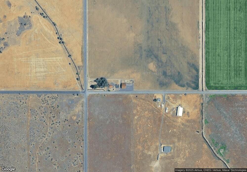
Map
Nearby Homes
- 10220 SW Ruth Dr
- 5955 SW Bozarth Ln
- 6542 SW Daly Ln
- 7056 SW Kent Ln
- 10875 SW Mintken Ln
- 10879 SW Mintken Rd
- 0 SW Wanker Unit 556217903
- 0 SW Wanker Unit 2200 220209349
- 12444 SW Green Dr
- 213 E Sage Ln
- 0 1st Ave Unit 220191585
- 410 2nd Ave
- 326 E Sage Ln
- 11218 SW Horny Hollow Trail
- 430 E D St
- 721 Mountain Ridge Dr
- 311 Geneva St
- 822 Scenic Loop
- 0 SW Peninsula Dr Unit Lot 173 220199686
- 0 Scenic Loop Unit 10300, Lot 17
- 9 SW Green Dr
- 9275 SW Green Dr
- 0 SW Green Dr Unit 2609027
- 0 SW Green Dr Unit 201306805
- 0 SW Green Dr Unit 201804725
- 0 SW Green Dr Unit 220135677
- 0 SW Green Dr Unit 21123180
- 6510 SW King Ln
- 10229 SW Woodward Rd
- 10113 SW Gregg St
- 10115 SW Gregg St
- 10180 SW Ruth Dr
- 10228 SW Ruth Dr
- 10075 SW Gregg St
- 5225 SW Woodward Rd
- 10210 SW Ruth Dr
- 1000 SW Lyons Dr