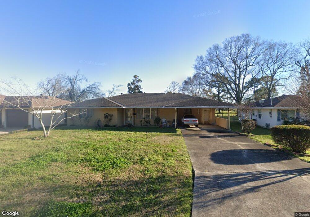
5956 Linden St Baton Rouge, LA 70805
Mid City North NeighborhoodEstimated Value: $117,000 - $189,000
3
Beds
2
Baths
1,659
Sq Ft
$87/Sq Ft
Est. Value
About This Home
This home is located at 5956 Linden St, Baton Rouge, LA 70805 and is currently estimated at $143,817, approximately $86 per square foot. 5956 Linden St is a home located in East Baton Rouge Parish with nearby schools including Brookstown Middle Magnet Academy, Istrouma High School, and Capitol Middle School.
Ownership History
Date
Name
Owned For
Owner Type
Purchase Details
Closed on
Sep 13, 2005
Sold by
Green Marjorie A
Bought by
Green Johnson Sandra M
Current Estimated Value
Home Financials for this Owner
Home Financials are based on the most recent Mortgage that was taken out on this home.
Original Mortgage
$79,224
Outstanding Balance
$42,252
Interest Rate
5.8%
Mortgage Type
New Conventional
Estimated Equity
$101,565
Purchase Details
Closed on
Apr 27, 2000
Sold by
June M Gillette Donald Mccrary, George, 1
Bought by
Mcquarter Eddie and Mcquarter Edrena Hookfin
Create a Home Valuation Report for This Property
The Home Valuation Report is an in-depth analysis detailing your home's value as well as a comparison with similar homes in the area
Home Values in the Area
Average Home Value in this Area
Purchase History
| Date | Buyer | Sale Price | Title Company |
|---|---|---|---|
| Green Johnson Sandra M | $91,000 | -- | |
| Mcquarter Eddie | $83,000 | -- |
Source: Public Records
Mortgage History
| Date | Status | Borrower | Loan Amount |
|---|---|---|---|
| Open | Green Johnson Sandra M | $79,224 |
Source: Public Records
Tax History Compared to Growth
Tax History
| Year | Tax Paid | Tax Assessment Tax Assessment Total Assessment is a certain percentage of the fair market value that is determined by local assessors to be the total taxable value of land and additions on the property. | Land | Improvement |
|---|---|---|---|---|
| 2024 | $1,350 | $11,525 | $437 | $11,088 |
| 2023 | $1,350 | $10,290 | $390 | $9,900 |
| 2022 | $1,229 | $10,290 | $390 | $9,900 |
| 2021 | $1,200 | $10,290 | $390 | $9,900 |
| 2020 | $1,193 | $10,290 | $390 | $9,900 |
| 2019 | $1,132 | $9,350 | $350 | $9,000 |
| 2018 | $1,118 | $9,350 | $350 | $9,000 |
| 2017 | $1,118 | $9,350 | $350 | $9,000 |
| 2016 | $80 | $6,200 | $350 | $5,850 |
| 2015 | $285 | $9,100 | $350 | $8,750 |
| 2014 | $285 | $9,100 | $350 | $8,750 |
| 2013 | -- | $9,100 | $350 | $8,750 |
Source: Public Records
Map
Nearby Homes
- 5949 Heidel Ave
- 6550/6534 Prescott Rd
- 4791 Prescott Rd
- TBD E Brookstown Dr
- 3905 Elm Dr
- 5156 Linden St
- 4126 Prescott Ct
- 3555 Eleanor Dr
- 3076 Elgin St
- 3704 N Foster Dr
- 3162 Elm Dr
- 4778 Broadway St
- 3045 Voss Dr
- 5537 Frey St
- 4887 Enterprise St
- 5496 Frey St
- 5950 Saint Gerard Ave
- 5124 Jean St
- 5765 Beech St
- 4769 E Dayton Ct