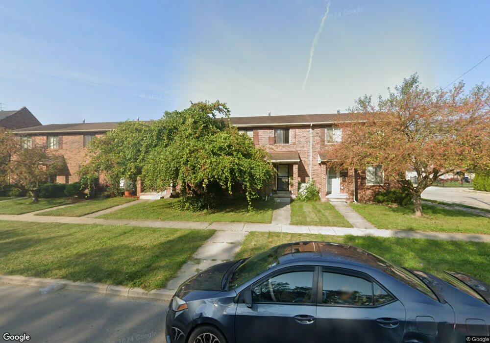
5957 Miller Rd Unit Bldg-Unit Dearborn, MI 48126
Hemlock Park NeighborhoodEstimated Value: $145,000 - $228,000
3
Beds
2
Baths
1,254
Sq Ft
$160/Sq Ft
Est. Value
About This Home
This home is located at 5957 Miller Rd Unit Bldg-Unit, Dearborn, MI 48126 and is currently estimated at $200,533, approximately $159 per square foot. 5957 Miller Rd Unit Bldg-Unit is a home located in Wayne County with nearby schools including Lowrey School, Lowrey Middle School, and Fordson High School.
Ownership History
Date
Name
Owned For
Owner Type
Purchase Details
Closed on
Aug 17, 2005
Sold by
Hud
Bought by
Alradaey Mohamed
Current Estimated Value
Purchase Details
Closed on
Mar 1, 2005
Sold by
National City Mortgage Co
Bought by
Hud
Purchase Details
Closed on
Aug 25, 2004
Sold by
Bazzi Sekna
Bought by
National City Mortgage Co
Purchase Details
Closed on
Jun 28, 2002
Sold by
Makki Naziha and Makki Ismail
Bought by
Bazzi Sekna
Purchase Details
Closed on
Sep 22, 1999
Sold by
Tanana Ibrahim Tanana
Bought by
Makki Naziha Makki
Purchase Details
Closed on
May 1, 1997
Sold by
Policicch John and Policicch Rosetta
Bought by
Bazzi Ali
Create a Home Valuation Report for This Property
The Home Valuation Report is an in-depth analysis detailing your home's value as well as a comparison with similar homes in the area
Home Values in the Area
Average Home Value in this Area
Purchase History
| Date | Buyer | Sale Price | Title Company |
|---|---|---|---|
| Alradaey Mohamed | $86,100 | None Available | |
| Hud | -- | -- | |
| National City Mortgage Co | $115,541 | -- | |
| Bazzi Sekna | $110,000 | Professional Real Estate Tit | |
| Makki Naziha Makki | $89,000 | -- | |
| Bazzi Ali | $80,000 | -- |
Source: Public Records
Tax History
| Year | Tax Paid | Tax Assessment Tax Assessment Total Assessment is a certain percentage of the fair market value that is determined by local assessors to be the total taxable value of land and additions on the property. | Land | Improvement |
|---|---|---|---|---|
| 2025 | $2,087 | $91,700 | $0 | $0 |
| 2024 | $2,101 | $63,300 | $0 | $0 |
| 2023 | $1,869 | $54,300 | $0 | $0 |
| 2022 | $2,152 | $52,000 | $0 | $0 |
| 2021 | $2,205 | $47,300 | $0 | $0 |
| 2019 | $2,174 | $43,400 | $0 | $0 |
| 2018 | $1,887 | $39,400 | $0 | $0 |
| 2017 | $437 | $35,200 | $0 | $0 |
| 2016 | $1,896 | $33,200 | $0 | $0 |
| 2015 | $2,695 | $36,600 | $0 | $0 |
| 2013 | $3,230 | $32,300 | $0 | $0 |
| 2011 | -- | $35,500 | $0 | $0 |
Source: Public Records
Map
Nearby Homes
- 6131 Appoline St
- 5861 Bingham St
- 5444 Hartwell St
- 5439 Hartwell St
- 5411 Reuter St
- 5510 Bingham St
- 5268 Hartwell St
- 5424 Bingham St
- 6413 Calhoun St
- 5059 Hartwell St
- 6019 Maple St
- 8737 Smart St
- 5637 Horger St
- 8704 Smart St
- 5795 Lawndale St
- 8805 Whitlock Ave
- 7800 Schaefer Rd
- 5910 Kendal St
- 5626 Lawndale St
- 4342 Lois St
- 5957 Miller Rd
- 5953 Miller Rd
- 5961 Miller Rd
- 5949 Miller Rd
- 5945 Miller Rd
- 5935 Miller Rd
- 5931 Miller Rd
- 6001 Miller Rd
- 5929 Miller Rd
- 5950 Appoline St
- 5956 Appoline St
- 5942 Appoline St
- 5925 Miller Rd
- 5940 Appoline St
- 5921 Miller Rd
- 6000 Appoline St
- 5928 Appoline St
- 5917 Miller Rd
- 6016 Appoline St
- 5913 Miller Rd
Your Personal Tour Guide
Ask me questions while you tour the home.