5957 Sandrock Dr Evergreen, CO 80439
North Turkey Creek NeighborhoodEstimated Value: $1,010,000 - $1,234,000
3
Beds
5
Baths
1,909
Sq Ft
$586/Sq Ft
Est. Value
About This Home
This home is located at 5957 Sandrock Dr, Evergreen, CO 80439 and is currently estimated at $1,118,688, approximately $586 per square foot. 5957 Sandrock Dr is a home located in Jefferson County with nearby schools including Marshdale Elementary School, West Jefferson Middle School, and Conifer Senior High School.
Ownership History
Date
Name
Owned For
Owner Type
Purchase Details
Closed on
Mar 31, 2005
Sold by
Peake Michael V and Peake Pamela J
Bought by
Tapp David S
Current Estimated Value
Home Financials for this Owner
Home Financials are based on the most recent Mortgage that was taken out on this home.
Original Mortgage
$130,050
Outstanding Balance
$66,980
Interest Rate
5.75%
Mortgage Type
Purchase Money Mortgage
Estimated Equity
$1,051,708
Create a Home Valuation Report for This Property
The Home Valuation Report is an in-depth analysis detailing your home's value as well as a comparison with similar homes in the area
Home Values in the Area
Average Home Value in this Area
Purchase History
| Date | Buyer | Sale Price | Title Company |
|---|---|---|---|
| Tapp David S | $479,000 | Guardian Title |
Source: Public Records
Mortgage History
| Date | Status | Borrower | Loan Amount |
|---|---|---|---|
| Open | Tapp David S | $130,050 | |
| Closed | Tapp David S | $325,000 |
Source: Public Records
Tax History Compared to Growth
Tax History
| Year | Tax Paid | Tax Assessment Tax Assessment Total Assessment is a certain percentage of the fair market value that is determined by local assessors to be the total taxable value of land and additions on the property. | Land | Improvement |
|---|---|---|---|---|
| 2024 | $6,045 | $65,914 | $28,932 | $36,982 |
| 2023 | $6,045 | $65,914 | $28,932 | $36,982 |
| 2022 | $4,813 | $50,939 | $19,614 | $31,325 |
| 2021 | $4,862 | $52,404 | $20,178 | $32,226 |
| 2020 | $4,108 | $43,934 | $14,472 | $29,462 |
| 2019 | $4,050 | $43,934 | $14,472 | $29,462 |
| 2018 | $4,100 | $43,015 | $15,622 | $27,393 |
| 2017 | $3,733 | $43,015 | $15,622 | $27,393 |
| 2016 | $3,977 | $42,826 | $18,285 | $24,541 |
| 2015 | $3,336 | $42,826 | $18,285 | $24,541 |
| 2014 | $3,336 | $34,849 | $17,220 | $17,629 |
Source: Public Records
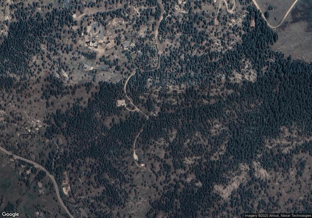
Map
Nearby Homes
- 5720 Northwood Dr
- 25925 Lost Cabin Trail Unit 39-43
- 6519 Jungfrau Way
- 5825 High Dr
- 5939 Lone Peak Dr
- 6187 Stone Creek Dr
- 25187 Stanley Park Rd
- 5525 S Twin Spruce Dr
- 25728 Stanley Park Rd
- 26130 Edelweiss Cir
- 6371 Canyon Creek Rd Unit 12
- 6684 Olympus Dr
- 5237 Bear Mountain Dr
- 5925 Herzman Dr
- 5197 Bear Mountain Dr
- 5236 Bear Mountain Dr
- 7082 Silverhorn Dr
- 26978 Mesa Dr
- 6827 Timbers Dr
- 6860 Kilimanjaro Dr
- 5987 Sandrock Dr
- 6107 Sandrock Dr
- 5937 Sandrock Dr
- 5947 Sandrock Dr
- 5910 Northwood Dr
- 5870 Sandrock Dr
- 6130 Kilimanjaro Dr Unit 3
- 5890 Northwood Dr
- 6060 Kilimanjaro Dr
- 5860 Northwood Dr
- 5891 Northwood Dr
- 5920 Northwood Dr
- 25009 N Mountain Park Dr
- 5901 Northwood Dr
- 6150 Kilimanjaro Dr Unit 3
- 25029 N Mountain Park Dr
- 6190 Kilimanjaro Dr
- 5903 S Langdon Dr
- 5921 Northwood Dr
- 6220 Kilimanjaro Dr