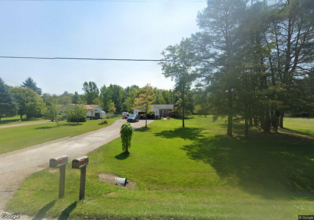
5959 Griswold Rd Kimball, MI 48074
Estimated Value: $208,000 - $245,000
3
Beds
2
Baths
1,091
Sq Ft
$206/Sq Ft
Est. Value
About This Home
This home is located at 5959 Griswold Rd, Kimball, MI 48074 and is currently estimated at $225,047, approximately $206 per square foot. 5959 Griswold Rd is a home located in St. Clair County with nearby schools including Kimball Elementary School, Central Middle School, and Port Huron High School.
Ownership History
Date
Name
Owned For
Owner Type
Purchase Details
Closed on
Jul 21, 2006
Sold by
Us Bank National Association
Bought by
Barno Michael J and Barno Rebecca
Current Estimated Value
Home Financials for this Owner
Home Financials are based on the most recent Mortgage that was taken out on this home.
Original Mortgage
$132,000
Outstanding Balance
$79,098
Interest Rate
6.82%
Mortgage Type
New Conventional
Estimated Equity
$145,949
Purchase Details
Closed on
Jun 9, 2006
Sold by
Mortgage Electronic Registration Systems
Bought by
Us Bank National Association
Home Financials for this Owner
Home Financials are based on the most recent Mortgage that was taken out on this home.
Original Mortgage
$132,000
Outstanding Balance
$79,098
Interest Rate
6.82%
Mortgage Type
New Conventional
Estimated Equity
$145,949
Purchase Details
Closed on
Feb 16, 2006
Sold by
Trexler Yolanda and Trexter Lyle
Bought by
Mortgage Electronic Registration Systems
Create a Home Valuation Report for This Property
The Home Valuation Report is an in-depth analysis detailing your home's value as well as a comparison with similar homes in the area
Home Values in the Area
Average Home Value in this Area
Purchase History
| Date | Buyer | Sale Price | Title Company |
|---|---|---|---|
| Barno Michael J | $132,000 | None Available | |
| Us Bank National Association | -- | None Available | |
| Mortgage Electronic Registration Systems | $157,393 | None Available |
Source: Public Records
Mortgage History
| Date | Status | Borrower | Loan Amount |
|---|---|---|---|
| Open | Barno Michael J | $132,000 |
Source: Public Records
Tax History
| Year | Tax Paid | Tax Assessment Tax Assessment Total Assessment is a certain percentage of the fair market value that is determined by local assessors to be the total taxable value of land and additions on the property. | Land | Improvement |
|---|---|---|---|---|
| 2025 | $934 | $91,800 | $0 | $0 |
| 2024 | $906 | $84,700 | $0 | $0 |
| 2023 | $830 | $81,700 | $0 | $0 |
| 2022 | $1,441 | $67,500 | $0 | $0 |
| 2020 | $1,290 | $63,700 | $63,700 | $0 |
| 2019 | $1,266 | $58,100 | $0 | $0 |
| 2018 | $1,236 | $59,000 | $0 | $0 |
| 2017 | $1,211 | $59,800 | $0 | $0 |
| 2016 | $676 | $59,800 | $0 | $0 |
| 2015 | -- | $59,100 | $59,100 | $0 |
| 2014 | -- | $47,500 | $47,500 | $0 |
| 2013 | -- | $62,600 | $0 | $0 |
Source: Public Records
Map
Nearby Homes
- 00 Griswold Rd
- 2007 Edward Ln E
- 2047 Edward Ln E
- 1906 Morningstar Ave
- 1948 Meadowlark Ln
- 6417 Dove Rd
- 0 Wadhams Rd Unit 50155021
- 2758 E Lake Dr
- 529 Swan Creek Ct
- 566 Bear Lake Ct
- I-69 vac Taylor Dr
- 521 Bush Lake Ln
- 504 Bush Lake Ln
- V/L Allen
- 5602 Lapeer Rd
- 0 Allen Rd Unit 20250008597
- 0 Allen Rd Unit 20250008612
- 0000 V/L Lapeer Rd
- 00000 Lapeer Rd
- 1604 Allen Rd
- 5977 Griswold Rd
- 5983 Griswold Rd
- 5955 Griswold Rd
- 5995 Griswold Rd
- 5951 Griswold Rd
- 5974 Griswold Rd
- 5984 Griswold Rd
- 1970 Ditty Rd
- 5937 Griswold Rd
- 5960 Griswold Rd
- 5992 Griswold Rd
- 1956 Ditty Rd
- 5948 Griswold Rd
- 6009 Griswold Rd
- 5921 Griswold Rd
- 6008 Griswold Rd
- 1944 Ditty Rd
- 6025 Griswold Rd
- 2065 Ditty Rd
- 1930 Ditty Rd
Your Personal Tour Guide
Ask me questions while you tour the home.