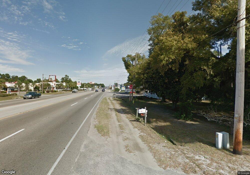
596 B N Ln Murrells Inlet, SC 29576
Estimated Value: $164,039
--
Bed
--
Bath
--
Sq Ft
0.83
Acres
About This Home
This home is located at 596 B N Ln, Murrells Inlet, SC 29576 and is currently priced at $164,039. 596 B N Ln is a home located in Horry County with nearby schools including Seaside Elementary, St. James Middle School, and St. James Intermediate.
Ownership History
Date
Name
Owned For
Owner Type
Purchase Details
Closed on
Aug 31, 2022
Sold by
Gray Rommie
Bought by
Beaver Capitalist Group Llc
Current Estimated Value
Home Financials for this Owner
Home Financials are based on the most recent Mortgage that was taken out on this home.
Original Mortgage
$124,000
Outstanding Balance
$118,216
Interest Rate
4.99%
Mortgage Type
New Conventional
Purchase Details
Closed on
Feb 25, 2016
Sold by
Smith Bulah
Bought by
Gray Rommie and Gray Garrett S
Home Financials for this Owner
Home Financials are based on the most recent Mortgage that was taken out on this home.
Original Mortgage
$90,000
Interest Rate
3.79%
Create a Home Valuation Report for This Property
The Home Valuation Report is an in-depth analysis detailing your home's value as well as a comparison with similar homes in the area
Home Values in the Area
Average Home Value in this Area
Purchase History
| Date | Buyer | Sale Price | Title Company |
|---|---|---|---|
| Beaver Capitalist Group Llc | $155,000 | -- | |
| Gray Rommie | $120,000 | -- |
Source: Public Records
Mortgage History
| Date | Status | Borrower | Loan Amount |
|---|---|---|---|
| Open | Beaver Capitalist Group Llc | $124,000 | |
| Previous Owner | Gray Rommie | $90,000 |
Source: Public Records
Tax History Compared to Growth
Tax History
| Year | Tax Paid | Tax Assessment Tax Assessment Total Assessment is a certain percentage of the fair market value that is determined by local assessors to be the total taxable value of land and additions on the property. | Land | Improvement |
|---|---|---|---|---|
| 2024 | $2,376 | $50,744 | $50,744 | $0 |
| 2023 | $2,376 | $12,754 | $12,754 | $0 |
| 2021 | $1,616 | $12,754 | $12,754 | $0 |
| 2020 | $1,511 | $12,754 | $12,754 | $0 |
| 2019 | $1,511 | $12,754 | $12,754 | $0 |
| 2018 | $0 | $12,754 | $12,754 | $0 |
| 2017 | $1,528 | $7,288 | $7,288 | $0 |
| 2016 | -- | $7,515 | $7,275 | $240 |
| 2015 | $1,359 | $7,515 | $7,275 | $240 |
| 2014 | $1,287 | $7,515 | $7,275 | $240 |
Source: Public Records
Map
Nearby Homes
- 592 Trizzie Trail
- 598 Rum Gully Rd
- 855 Riven Oak Dr Unit Mt. Gilead-Horry Cou
- 34 Shamrock Cir
- 571 Fernwood Rd
- 510 Rum Gully Rd
- 1 Seaway Ln
- 14 Shamrock Cir
- 2 Keel Ln
- 434 Stanley Dr
- 181 Offshore Dr
- 4 Keel Ln
- 10 Bluewater Ln
- 6 Ocean Reef Ln
- 425 E Surfwind Dr
- 429 E Surfwind Dr Unit Lot 47
- 159 Offshore Dr
- 801 Rebecca Ln Unit 7E
- 801 Rebecca Ln Unit 7D
- 801 Rebecca Ln Unit 7A
- 596 Blythewood Walk
- 3151 S Highway 17
- 735 Mallard Pond Rd
- 735 Mallard Pond Rd Unit Mt Gilead - Lake Fro
- 590 Trizzie Trail
- 588 Trizzie Trail
- 596 Trizzie Trail
- 3123 S Highway 17
- 723 Mallard Pond Rd
- 596 B-N Ln
- Lots 2 & 3 B-N Ln
- 3121 S Highway 17
- 3121 U S 17 Business
- 3151 U S 17 Business
- 3123 U S 17 Business
- 711 Mallard Pond Rd
- xxxx Hwy 17 S
- 701 Mallard Pond Rd
- 701 Mallard Pond Rd Unit Mt. Gilead
- 701 Mallard Pond Rd Unit BEST VALUE
