596 Elm St Hampshire, IL 60140
Estimated Value: $270,000 - $297,000
3
Beds
2
Baths
1,245
Sq Ft
$228/Sq Ft
Est. Value
About This Home
This home is located at 596 Elm St, Hampshire, IL 60140 and is currently estimated at $283,426, approximately $227 per square foot. 596 Elm St is a home located in Kane County with nearby schools including Hampshire Elementary School, Hampshire Middle School, and Hampshire High School.
Ownership History
Date
Name
Owned For
Owner Type
Purchase Details
Closed on
May 31, 2000
Sold by
Sabin Jeanette M
Bought by
Wynn Robert J and Wynn Carol L
Current Estimated Value
Home Financials for this Owner
Home Financials are based on the most recent Mortgage that was taken out on this home.
Original Mortgage
$139,775
Outstanding Balance
$48,995
Interest Rate
8.14%
Mortgage Type
FHA
Estimated Equity
$234,431
Purchase Details
Closed on
Feb 20, 1999
Sold by
Sabin Jeanette M
Bought by
Sabin Jeanette M and Jeanette M Sabin Trust #1
Create a Home Valuation Report for This Property
The Home Valuation Report is an in-depth analysis detailing your home's value as well as a comparison with similar homes in the area
Home Values in the Area
Average Home Value in this Area
Purchase History
| Date | Buyer | Sale Price | Title Company |
|---|---|---|---|
| Wynn Robert J | $144,000 | First American Title Ins Co | |
| Sabin Jeanette M | -- | -- |
Source: Public Records
Mortgage History
| Date | Status | Borrower | Loan Amount |
|---|---|---|---|
| Open | Wynn Robert J | $139,775 |
Source: Public Records
Tax History Compared to Growth
Tax History
| Year | Tax Paid | Tax Assessment Tax Assessment Total Assessment is a certain percentage of the fair market value that is determined by local assessors to be the total taxable value of land and additions on the property. | Land | Improvement |
|---|---|---|---|---|
| 2024 | $4,703 | $80,251 | $22,170 | $58,081 |
| 2023 | $4,394 | $72,187 | $19,942 | $52,245 |
| 2022 | $4,437 | $66,342 | $18,327 | $48,015 |
| 2021 | $3,988 | $60,223 | $17,288 | $42,935 |
| 2020 | $3,825 | $57,604 | $16,815 | $40,789 |
| 2019 | $3,750 | $55,720 | $16,265 | $39,455 |
| 2018 | $3,544 | $51,701 | $14,423 | $37,278 |
| 2017 | $3,412 | $49,655 | $13,852 | $35,803 |
| 2016 | $3,306 | $46,677 | $13,021 | $33,656 |
| 2015 | -- | $43,384 | $12,102 | $31,282 |
| 2014 | -- | $41,953 | $11,703 | $30,250 |
| 2013 | -- | $44,635 | $12,451 | $32,184 |
Source: Public Records
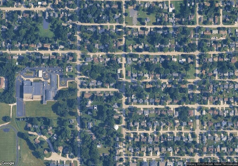
Map
Nearby Homes
- 704 S State St
- 895 S State St
- 190 Grove Ave
- 263 E Jackson Ave
- 318 Old Mill Ln
- 862 Briar Glen Ct
- 804 Briar Glen Ct
- 820 Briar Glen Ct
- 120 Jack Dylan Dr
- 125 Mill Ave
- LOT 37 W Oak Knoll Dr
- 602 Woodside Terrace
- 1655 Windsor Rd
- 730 Bruce Dr
- Lot 0 N State St
- 431 Patricia Ln
- 720 James Dr
- 808 James Dr
- 286 Wild Prairie Pointe
- 284 Wild Prairie Pointe