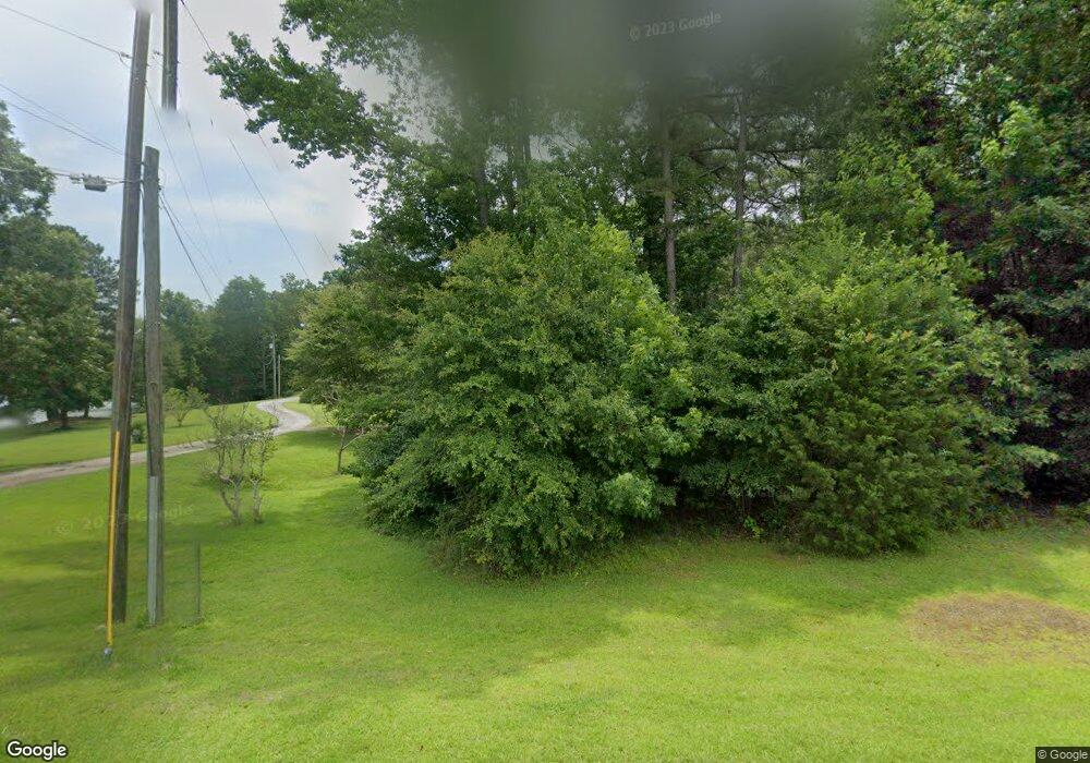
596 Harry McCarty Rd Bethlehem, GA 30620
Estimated Value: $344,000 - $466,000
2
Beds
2
Baths
2,096
Sq Ft
$184/Sq Ft
Est. Value
About This Home
This home is located at 596 Harry McCarty Rd, Bethlehem, GA 30620 and is currently estimated at $385,973, approximately $184 per square foot. 596 Harry McCarty Rd is a home located in Barrow County with nearby schools including Kennedy Elementary School, Westside Middle School, and Apalachee High School.
Ownership History
Date
Name
Owned For
Owner Type
Purchase Details
Closed on
Feb 21, 2023
Sold by
Alred Randall G
Bought by
Alred Randall G and Cutino Brandi Amanda
Current Estimated Value
Purchase Details
Closed on
Jul 28, 2006
Sold by
Alred Sandra E
Bought by
Alred Randall G
Purchase Details
Closed on
Oct 24, 1996
Sold by
Hudlow Waneta Englan
Bought by
England Alred Sandra
Purchase Details
Closed on
Aug 1, 1989
Bought by
Hudlow Waneta Englan
Create a Home Valuation Report for This Property
The Home Valuation Report is an in-depth analysis detailing your home's value as well as a comparison with similar homes in the area
Home Values in the Area
Average Home Value in this Area
Purchase History
| Date | Buyer | Sale Price | Title Company |
|---|---|---|---|
| Alred Randall G | -- | -- | |
| Alred Randall G | -- | -- | |
| England Alred Sandra | -- | -- | |
| Hudlow Waneta Englan | $4,000 | -- |
Source: Public Records
Tax History Compared to Growth
Tax History
| Year | Tax Paid | Tax Assessment Tax Assessment Total Assessment is a certain percentage of the fair market value that is determined by local assessors to be the total taxable value of land and additions on the property. | Land | Improvement |
|---|---|---|---|---|
| 2025 | $906 | $113,417 | $33,396 | $80,021 |
| 2024 | $1,442 | $113,417 | $33,396 | $80,021 |
| 2023 | $2,189 | $132,998 | $39,162 | $93,836 |
| 2022 | $1,292 | $100,538 | $39,162 | $61,376 |
| 2021 | $1,006 | $87,707 | $31,329 | $56,378 |
| 2020 | $767 | $79,690 | $23,312 | $56,378 |
| 2019 | $743 | $74,692 | $23,312 | $51,380 |
| 2018 | $712 | $74,692 | $23,312 | $51,380 |
| 2017 | $1,986 | $68,212 | $23,312 | $44,900 |
| 2016 | $600 | $66,037 | $23,312 | $42,725 |
| 2015 | $1,887 | $66,037 | $23,312 | $42,725 |
| 2014 | $1,551 | $54,148 | $11,423 | $42,725 |
| 2013 | -- | $50,668 | $11,422 | $39,245 |
Source: Public Records
Map
Nearby Homes
- 0 Monroe Hwy Unit 7530054
- 0 Monroe Hwy Unit 10466108
- 0 Carson Wages Rd Unit 7617509
- 0 Carson Wages Rd Unit 10348307
- 755 Harry McCarty Rd
- 449 & 455 Carl-Bethlehem Rd
- 724 Manger Ave
- 134 Dunedin Dr
- 220 Carl Bethlehem Rd SW
- 24 Rowlett Place
- 74 Rowlett Place
- 13 Rowlett Place
- 43 Rowlett Place
- 575 Mackinaw Dr
- 0 Manger Ave E Unit 20154677
- 0 Manger Ave E Unit 20127001
- 784 Manger Ave
- 14 Smithwood Dr
- 236 Vision St
- 176 Market St
- 600 Harry McCarty Rd
- 603 Harry McCarty Rd
- 608 Harry McCarty Rd
- 616 Harry McCarty Rd
- W W Wiseman Ln
- 520 Harris Dr
- 550 Harry McCarty Rd
- 555 Harry McCarty Rd
- 66 Wise Men Ln
- 66 Wise Men Ln
- 521 Harris Dr
- 522 Harris Dr
- 635 Harry McCarty Rd
- 650 Harry McCarty Rd
- 476 Harry McCarty Rd
- 591 Treadwell Rd
- 0 Harris Dr Unit 7244049
- 0 Harris Dr Unit 10179389
- 0 Harris Dr Unit 7165352
- 0 Harris Dr Unit 10123414
