Estimated Value: $429,000 - $791,130
2
Beds
1
Bath
1,142
Sq Ft
$500/Sq Ft
Est. Value
About This Home
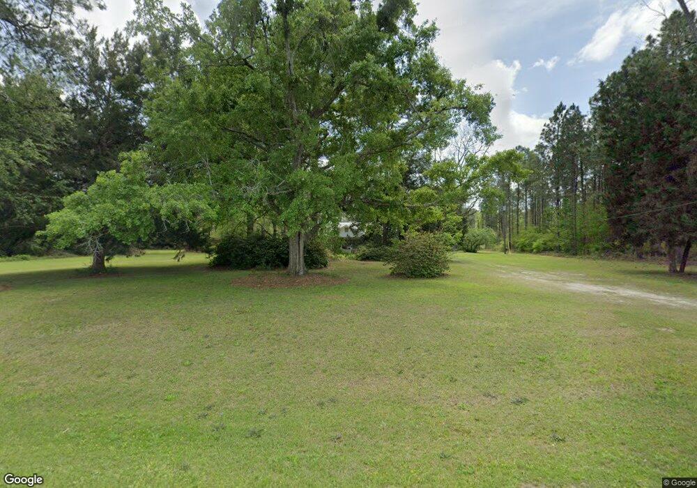
This home is located at 596 Old Thomasville Rd, Cairo, GA 39827 and is currently estimated at $570,710, approximately $499 per square foot. 596 Old Thomasville Rd is a home with nearby schools including Cairo High School.
Ownership History
Date
Name
Owned For
Owner Type
Purchase Details
Closed on
Aug 13, 2014
Sold by
Maddox Michael F
Bought by
City Of Cairo
Current Estimated Value
Purchase Details
Closed on
Dec 6, 2012
Sold by
W L Maddox Farm & Timber L
Bought by
Maddox Michael F
Purchase Details
Closed on
Jan 3, 2006
Sold by
Maddox W L
Bought by
W L Maddox Farm & Timber Llc
Purchase Details
Closed on
Nov 14, 2003
Sold by
Halstead J Douglas
Bought by
Tall Pines Development
Purchase Details
Closed on
Jul 2, 2001
Sold by
Halstead R C Est
Bought by
Halstead J Douglas
Purchase Details
Closed on
Dec 20, 1972
Bought by
Halstead R C Est
Create a Home Valuation Report for This Property
The Home Valuation Report is an in-depth analysis detailing your home's value as well as a comparison with similar homes in the area
Purchase History
| Date | Buyer | Sale Price | Title Company |
|---|---|---|---|
| City Of Cairo | $70,000 | -- | |
| Maddox Michael F | -- | -- | |
| W L Maddox Farm & Timber Llc | -- | -- | |
| Tall Pines Development | $366,800 | -- | |
| Halstead J Douglas | -- | -- | |
| Halstead R C Est | -- | -- |
Source: Public Records
Tax History
| Year | Tax Paid | Tax Assessment Tax Assessment Total Assessment is a certain percentage of the fair market value that is determined by local assessors to be the total taxable value of land and additions on the property. | Land | Improvement |
|---|---|---|---|---|
| 2024 | $4,708 | $176,318 | $142,450 | $33,868 |
| 2023 | $3,817 | $124,004 | $103,974 | $20,030 |
| 2022 | $3,817 | $124,004 | $103,974 | $20,030 |
| 2021 | $3,858 | $124,922 | $103,974 | $20,948 |
| 2020 | $3,871 | $124,922 | $103,974 | $20,948 |
| 2019 | $1,795 | $124,922 | $103,974 | $20,948 |
| 2018 | $1,654 | $124,922 | $103,974 | $20,948 |
| 2017 | $1,547 | $124,922 | $103,974 | $20,948 |
| 2016 | $1,439 | $121,722 | $103,974 | $17,749 |
| 2015 | $1,395 | $121,722 | $103,974 | $17,749 |
| 2014 | -- | $121,722 | $103,974 | $17,749 |
| 2013 | -- | $151,249 | $135,496 | $15,752 |
Source: Public Records
Map
Nearby Homes
- 3109 U S 84
- 3109 U S 84
- 3136 State Route 188
- 161 Evergreen Ln
- 2427 Pierce Chapel Rd
- 4164 U S 84 Unit Lot Q
- 78.6 Ac Strickland Rd
- 1210 Elkins Rd
- 129 Alison Dr
- 00 State Route 188
- 0 State Route 188
- 414 Woodland Rd
- 21 24th St NE
- 66 22nd St NE
- 770 Pierce Chapel Rd
- 0 20th St NE
- 00 20th St NE
- 408 Bay Tree Rd NE
- 592 20th St SE
- 711 2nd Ave NE
- 581 Old Thomasville Rd
- 649 Old Thomasville Rd
- 491 Old Thomasville Rd
- 713 Old Thomasville Rd
- 678 Old Thomasville Rd
- 758 Old Thomasville Rd
- 749 Old Thomasville Rd
- 747 Stanfill Rd
- 798 Old Thomasville Rd
- 802 Old Thomasville Rd
- 188 Royals Ln
- 800 Stanfill Rd
- 00 Stanfill Rd
- 000 Stanfill Rd
- 70+/- ac Stanfill Rd
- 677 Stanfill Rd
- 676 Stanfill Rd
- 652 Stanfill Rd
- 243 West Rd
- 784 Stanfill Rd
Your Personal Tour Guide
Ask me questions while you tour the home.