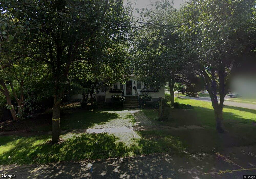
596 Sylvan Place Haworth, NJ 07641
Estimated Value: $747,049 - $1,072,000
--
Bed
--
Bath
1,644
Sq Ft
$549/Sq Ft
Est. Value
About This Home
This home is located at 596 Sylvan Place, Haworth, NJ 07641 and is currently estimated at $903,012, approximately $549 per square foot. 596 Sylvan Place is a home located in Bergen County with nearby schools including Haworth Elementary School, Northern Valley Regional High School at Demarest, and St. Joseph School.
Ownership History
Date
Name
Owned For
Owner Type
Purchase Details
Closed on
May 7, 2024
Sold by
Grosso Robert and Grosso Sharon
Bought by
Robert Michael Grosso 2024 Revocable Trust and Sharon Grosso 2024 Revocable Trust
Current Estimated Value
Purchase Details
Closed on
Apr 25, 2001
Sold by
Rotonde Jeanette T
Bought by
Rotonde Richard
Home Financials for this Owner
Home Financials are based on the most recent Mortgage that was taken out on this home.
Original Mortgage
$75,000
Interest Rate
7.03%
Create a Home Valuation Report for This Property
The Home Valuation Report is an in-depth analysis detailing your home's value as well as a comparison with similar homes in the area
Home Values in the Area
Average Home Value in this Area
Purchase History
| Date | Buyer | Sale Price | Title Company |
|---|---|---|---|
| Robert Michael Grosso 2024 Revocable Trust | -- | None Listed On Document | |
| Robert Michael Grosso 2024 Revocable Trust | -- | None Listed On Document | |
| Rotonde Richard | $93,750 | -- |
Source: Public Records
Mortgage History
| Date | Status | Borrower | Loan Amount |
|---|---|---|---|
| Previous Owner | Rotonde Richard | $75,000 |
Source: Public Records
Tax History Compared to Growth
Tax History
| Year | Tax Paid | Tax Assessment Tax Assessment Total Assessment is a certain percentage of the fair market value that is determined by local assessors to be the total taxable value of land and additions on the property. | Land | Improvement |
|---|---|---|---|---|
| 2025 | $14,653 | $473,900 | $243,000 | $230,900 |
| 2024 | $14,416 | $473,900 | $243,000 | $230,900 |
| 2023 | $14,117 | $473,900 | $243,000 | $230,900 |
| 2022 | $14,117 | $473,900 | $243,000 | $230,900 |
| 2021 | $13,952 | $473,900 | $243,000 | $230,900 |
| 2020 | $13,833 | $473,900 | $243,000 | $230,900 |
| 2019 | $13,795 | $473,900 | $243,000 | $230,900 |
| 2018 | $13,587 | $473,900 | $243,000 | $230,900 |
| 2017 | $13,663 | $473,900 | $243,000 | $230,900 |
| 2016 | $13,790 | $473,900 | $243,000 | $230,900 |
| 2015 | $13,246 | $473,900 | $243,000 | $230,900 |
| 2014 | $13,042 | $473,900 | $243,000 | $230,900 |
Source: Public Records
Map
Nearby Homes
- 590 Sylvan Place
- 604 Sylvan Place
- 5 Saint Albans Place
- 584 Sylvan Place
- 4 Saint Albans Place
- 597 Sylvan Place
- 591 Sylvan Place
- 6 Saint Albans Place
- 28 Saint Albans Place
- 585 Sylvan Place
- 612 Sylvan Place
- 578 Sylvan Place
- 615 Sylvan Place
- 598 Sunset Ave
- 40 St Albans Place
- 579 Sylvan Place
- 572 Sylvan Place
- 40 Saint Albans Place
- 621 Sylvan Place
- 586 Sunset Ave