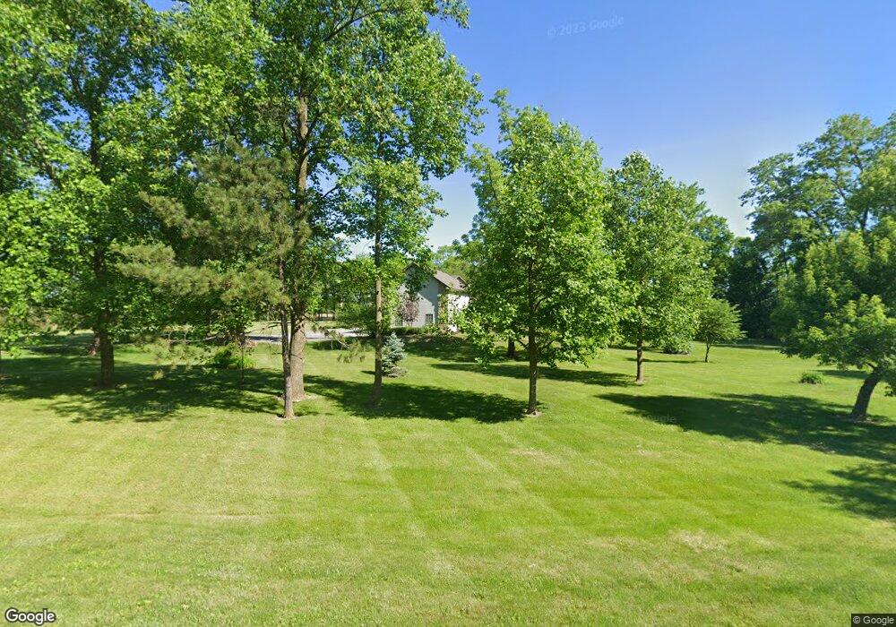
5960 E 500 S Whitestown, IN 46075
Estimated Value: $704,000 - $1,091,000
4
Beds
4
Baths
5,651
Sq Ft
$159/Sq Ft
Est. Value
About This Home
This home is located at 5960 E 500 S, Whitestown, IN 46075 and is currently estimated at $899,912, approximately $159 per square foot. 5960 E 500 S is a home located in Boone County with nearby schools including Perry Worth Elementary School, Lebanon Middle School, and Lebanon Senior High School.
Ownership History
Date
Name
Owned For
Owner Type
Purchase Details
Closed on
Aug 24, 2012
Sold by
Maxson Barbara J and Barbara J Maxson Trust
Bought by
Maxson Walter L and Maxson Barbara J
Current Estimated Value
Home Financials for this Owner
Home Financials are based on the most recent Mortgage that was taken out on this home.
Original Mortgage
$252,500
Outstanding Balance
$173,350
Interest Rate
3.48%
Mortgage Type
New Conventional
Estimated Equity
$726,562
Purchase Details
Closed on
May 27, 2010
Sold by
Maxson Walter L and Maxson Barbara J
Bought by
Barbara J Maxson Revocable Trust
Purchase Details
Closed on
Apr 12, 2010
Sold by
Maxson Barbara J and Barbara J Maxson Revocable Tru
Bought by
Maxson Walter L and Maxson Barbara J
Purchase Details
Closed on
Nov 1, 2005
Sold by
Maxson Barbara J
Bought by
Maxson Barbara J and Barbara J Maxson Revocable Tru
Create a Home Valuation Report for This Property
The Home Valuation Report is an in-depth analysis detailing your home's value as well as a comparison with similar homes in the area
Home Values in the Area
Average Home Value in this Area
Purchase History
| Date | Buyer | Sale Price | Title Company |
|---|---|---|---|
| Maxson Walter L | -- | None Available | |
| Barbara J Maxson Revocable Trust | -- | -- | |
| Maxson Walter L | -- | -- | |
| Maxson Barbara J | -- | -- |
Source: Public Records
Mortgage History
| Date | Status | Borrower | Loan Amount |
|---|---|---|---|
| Open | Maxson Walter L | $252,500 |
Source: Public Records
Tax History Compared to Growth
Tax History
| Year | Tax Paid | Tax Assessment Tax Assessment Total Assessment is a certain percentage of the fair market value that is determined by local assessors to be the total taxable value of land and additions on the property. | Land | Improvement |
|---|---|---|---|---|
| 2024 | $9,562 | $806,500 | $32,900 | $773,600 |
| 2023 | $9,287 | $760,600 | $32,900 | $727,700 |
| 2022 | $9,270 | $715,400 | $32,900 | $682,500 |
| 2021 | $6,659 | $551,100 | $32,900 | $518,200 |
| 2020 | $6,356 | $520,300 | $32,900 | $487,400 |
| 2019 | $5,977 | $496,300 | $32,900 | $463,400 |
| 2018 | $5,766 | $484,300 | $32,900 | $451,400 |
| 2017 | $5,784 | $477,900 | $32,900 | $445,000 |
| 2016 | $5,344 | $443,100 | $32,900 | $410,200 |
| 2014 | $4,561 | $386,400 | $32,900 | $353,500 |
| 2013 | $4,593 | $386,400 | $32,900 | $353,500 |
Source: Public Records
Map
Nearby Homes
- 5171 Tanglewood Ln
- 5794 Wintersweet Ln
- 5224 Bramwell Ln
- 5256 Bramwell Ln
- 5380 Brandywine Dr
- 6126 Marigold Ct
- 6162 Crabapple Dr
- 5439 Maywood Dr
- 5789 Pebblebrooke Rd
- 5968 Meadowview Dr
- 5986 Meadowview Dr
- 5788 Pebblebrooke Rd
- 5792 Waterstone Way
- 6614 Park Grove Blvd
- 4557 Timberline Trail
- 5764 Bluff View Ln
- 6660 Harvest Moon Ln
- 6752 Shooting Star Dr
- 6731 Keepsake Dr
- 6748 Fallen Leaf Dr
- 5021 Wildflower Dr
- 5041 Wildflower Dr
- 5020 Wildflower Dr
- 5053 Wildflower Dr
- 5028 Wildflower Dr
- 5040 Wildflower Dr
- 5063 Wildflower Dr
- 5785 E 500 S
- 5052 Wildflower Dr
- 5052 Wildflower Dr
- 5924 Wintersweet Ln
- 5075 Wildflower Dr
- 5062 Wildflower Dr
- 5062 Hardwick Dr
- 5932 Wintersweet Ln
- 5070 Hardwick Dr
- 5087 Wildflower Dr
- 6062 Hardwick Dr
- 5105 Tanglewood Ln