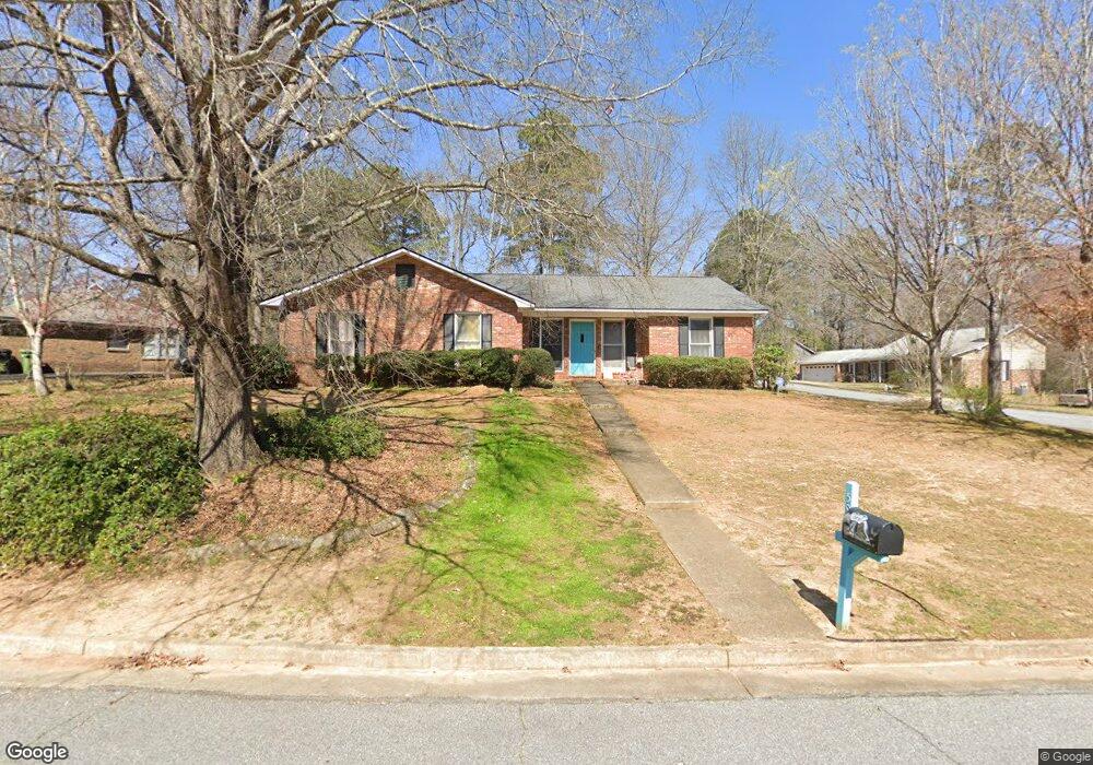
5961 Manassas Dr Columbus, GA 31909
Midland NeighborhoodEstimated Value: $244,000 - $261,000
3
Beds
3
Baths
1,809
Sq Ft
$140/Sq Ft
Est. Value
About This Home
This home is located at 5961 Manassas Dr, Columbus, GA 31909 and is currently estimated at $253,588, approximately $140 per square foot. 5961 Manassas Dr is a home located in Muscogee County with nearby schools including Midland Academy, Midland Middle School, and Shaw High School.
Ownership History
Date
Name
Owned For
Owner Type
Purchase Details
Closed on
Jul 20, 2012
Sold by
Wood Donald Edward
Bought by
Haney Elise M
Current Estimated Value
Home Financials for this Owner
Home Financials are based on the most recent Mortgage that was taken out on this home.
Original Mortgage
$141,727
Outstanding Balance
$97,041
Interest Rate
3.5%
Mortgage Type
FHA
Estimated Equity
$156,547
Create a Home Valuation Report for This Property
The Home Valuation Report is an in-depth analysis detailing your home's value as well as a comparison with similar homes in the area
Home Values in the Area
Average Home Value in this Area
Purchase History
| Date | Buyer | Sale Price | Title Company |
|---|---|---|---|
| Haney Elise M | $145,000 | -- |
Source: Public Records
Mortgage History
| Date | Status | Borrower | Loan Amount |
|---|---|---|---|
| Open | Haney Elise M | $141,727 |
Source: Public Records
Tax History Compared to Growth
Tax History
| Year | Tax Paid | Tax Assessment Tax Assessment Total Assessment is a certain percentage of the fair market value that is determined by local assessors to be the total taxable value of land and additions on the property. | Land | Improvement |
|---|---|---|---|---|
| 2025 | $1,754 | $88,832 | $12,268 | $76,564 |
| 2024 | $1,753 | $88,832 | $12,268 | $76,564 |
| 2023 | $11 | $88,832 | $12,268 | $76,564 |
| 2022 | $1,828 | $64,564 | $12,268 | $52,296 |
| 2021 | $1,821 | $59,116 | $12,268 | $46,848 |
| 2020 | $1,822 | $59,116 | $12,268 | $46,848 |
| 2019 | $1,830 | $59,116 | $12,268 | $46,848 |
| 2018 | $1,830 | $59,116 | $12,268 | $46,848 |
| 2017 | $1,837 | $59,116 | $12,268 | $46,848 |
| 2016 | $1,845 | $58,000 | $8,699 | $49,301 |
| 2015 | $1,848 | $58,000 | $8,699 | $49,301 |
| 2014 | $1,851 | $58,000 | $8,699 | $49,301 |
| 2013 | -- | $58,000 | $8,699 | $49,301 |
Source: Public Records
Map
Nearby Homes
- 6454 Patriot Dr
- 6222 Goodwin Dr
- 6251 Rockefeller Dr
- 7101 Cross Tie Dr
- 6 Jamestown Ct
- 7020 Stoneridge Cir
- 6528 Yellow Stone Ct
- 6036 Townes Way
- 6333 Stony Creek Dr
- 6055 Townes Way
- 7076 Stoneybrook Dr
- 5422 Colony Dr
- 5966 Fornof Rd
- 5378 Misty Ln
- 5324 Colony Dr
- 6127 Stony Creek Dr
- 5408 Old Dominion Rd
- 5804 Dearborn Ave
- 6321 Milgen Rd Unit 3
- 6137 Stoneway Dr
- 5955 Manassas Dr
- 6119 Bayonne Dr
- 5949 Manassas Dr
- 6108 Bayonne Dr
- 5966 Manassas Dr
- 6116 Bayonne Dr
- 5962 Manassas Dr
- 6100 Bayonne Dr
- 6131 Bayonne Dr
- 6124 Bayonne Dr
- 5958 Manassas Dr
- 5943 Manassas Dr
- 5954 Manassas Dr
- 5950 Manassas Dr
- 6132 Bayonne Dr
- 6139 Bayonne Dr
- 6023 Whitehaven Dr
- 6032 Whitehaven Dr
- 5937 Manassas Dr
- 5944 Manassas Dr