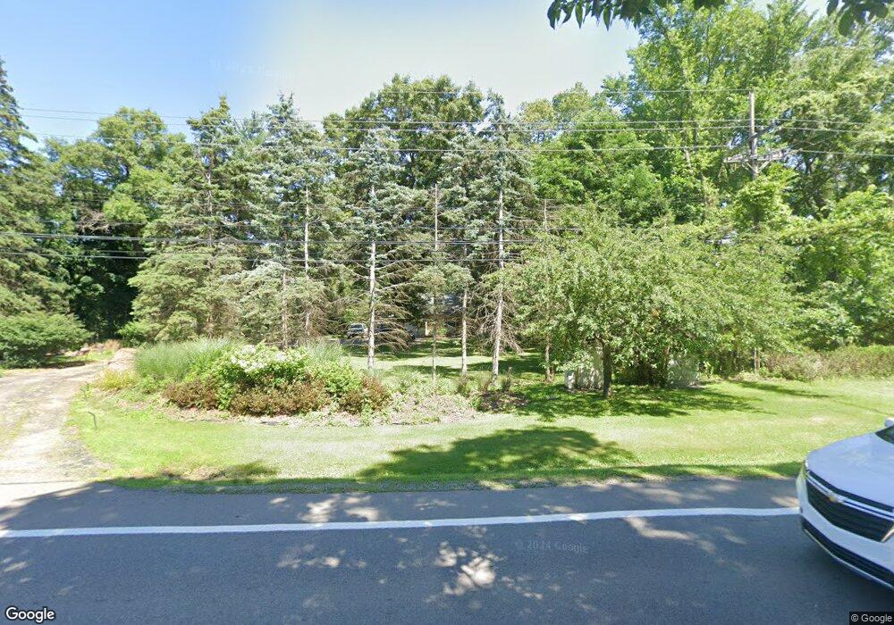
5965 Middlebelt Rd West Bloomfield, MI 48322
Estimated Value: $461,765 - $556,000
4
Beds
4
Baths
2,688
Sq Ft
$188/Sq Ft
Est. Value
About This Home
This home is located at 5965 Middlebelt Rd, West Bloomfield, MI 48322 and is currently estimated at $506,191, approximately $188 per square foot. 5965 Middlebelt Rd is a home located in Oakland County with nearby schools including Wylie E. Groves High School, West Maple Elementary School, and Berkshire Middle School.
Ownership History
Date
Name
Owned For
Owner Type
Purchase Details
Closed on
Nov 16, 2009
Sold by
Freedom Mortgage Corporation
Bought by
Federal National Mortgage Association
Current Estimated Value
Purchase Details
Closed on
Nov 10, 2009
Sold by
Beatty Sylvia M
Bought by
Freedom Mortgage Corporation
Purchase Details
Closed on
Apr 15, 2002
Sold by
Leonard Donna J
Bought by
Beatty Sylvia M
Home Financials for this Owner
Home Financials are based on the most recent Mortgage that was taken out on this home.
Original Mortgage
$252,850
Interest Rate
7%
Create a Home Valuation Report for This Property
The Home Valuation Report is an in-depth analysis detailing your home's value as well as a comparison with similar homes in the area
Home Values in the Area
Average Home Value in this Area
Purchase History
| Date | Buyer | Sale Price | Title Company |
|---|---|---|---|
| Federal National Mortgage Association | -- | None Available | |
| Freedom Mortgage Corporation | $298,385 | None Available | |
| Beatty Sylvia M | $389,000 | -- |
Source: Public Records
Mortgage History
| Date | Status | Borrower | Loan Amount |
|---|---|---|---|
| Previous Owner | Beatty Sylvia M | $252,850 |
Source: Public Records
Tax History Compared to Growth
Tax History
| Year | Tax Paid | Tax Assessment Tax Assessment Total Assessment is a certain percentage of the fair market value that is determined by local assessors to be the total taxable value of land and additions on the property. | Land | Improvement |
|---|---|---|---|---|
| 2024 | $3,034 | $175,800 | $0 | $0 |
| 2022 | $2,912 | $169,830 | $59,900 | $109,930 |
| 2021 | $4,913 | $169,510 | $0 | $0 |
| 2020 | $2,798 | $157,720 | $59,900 | $97,820 |
| 2018 | $4,846 | $147,710 | $43,980 | $103,730 |
| 2015 | -- | $135,360 | $0 | $0 |
| 2014 | -- | $125,790 | $0 | $0 |
| 2011 | -- | $117,710 | $0 | $0 |
Source: Public Records
Map
Nearby Homes
- 3035 Parkland Dr
- 5815 Bloomfield Glens Rd
- 3104 Spring St
- 5881 Naneva Ct
- 5622 Powder Horn Dr
- 6545 Post Oak Dr
- 5415 Fairway Ln
- 5780 Swan Lake Ct
- 6564 Alderley Way
- 5321 Fairway Ln Unit 7
- 0000 Putnam Dr
- 2149 Sunnycrest Dr
- 3865 Stonecrest Rd
- 6624 Mellow Wood Ln
- 5620 Eastman Blvd
- 6151 Orchard Lake Rd Unit 103
- 5620 Inkster Rd
- 6109 Orchard Lake Rd Unit 101
- 6145 Orchard Lake Rd Unit 204
- 6769 Heather Heath
- 5925 Middlebelt Rd
- 3009 Parkland Dr
- 5967 Independence Ln
- 3048 Brewster Unit Bldg-Unit
- 3048 Brewster
- 3040 Brewster
- 5952 Independence Ln
- 5933 Independence Ln
- 6001 Middlebelt Rd
- 3028 Parkland Dr
- 3056 Brewster
- 3045 Winchester Rd
- 5925 Independence Ln
- 3041 Brewster
- 3057 Winchester Rd
- 5934 Independence Ln
- 3043 Hartslock Woods Dr
- 3064 Brewster
- 3036 Winchester Rd
- 5916 Independence Ln