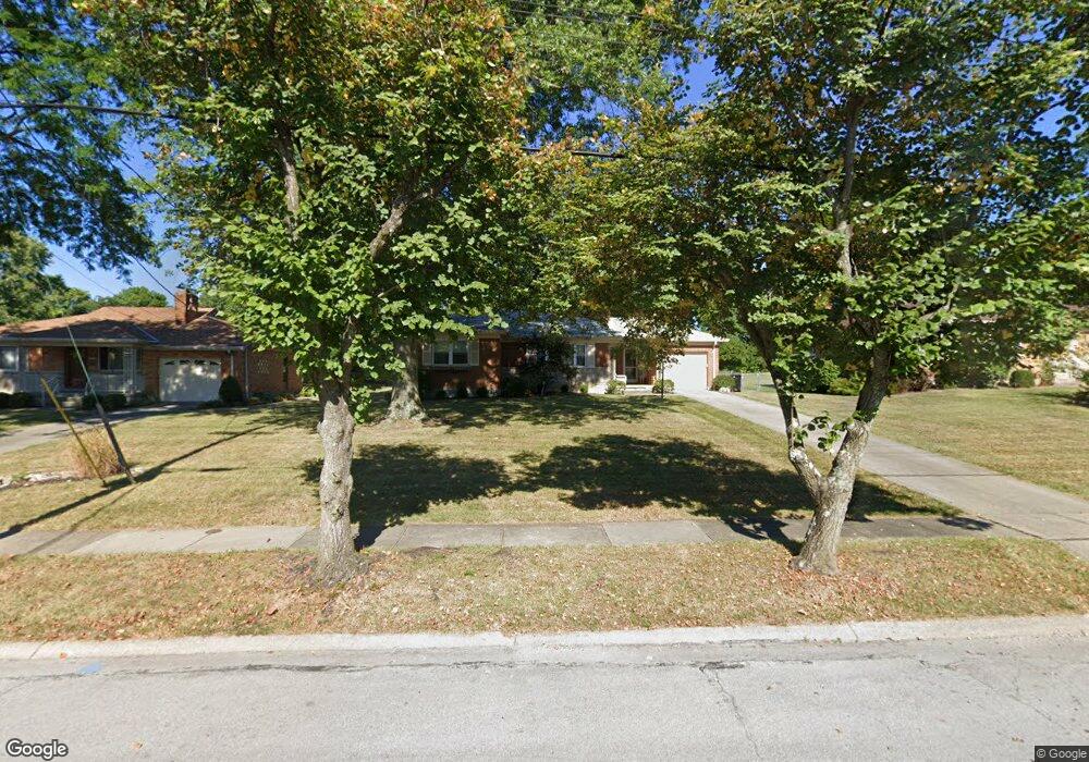
5965 Monticello Ave Cincinnati, OH 45224
College Hill NeighborhoodEstimated Value: $239,671 - $294,000
2
Beds
2
Baths
1,236
Sq Ft
$213/Sq Ft
Est. Value
About This Home
This home is located at 5965 Monticello Ave, Cincinnati, OH 45224 and is currently estimated at $262,668, approximately $212 per square foot. 5965 Monticello Ave is a home located in Hamilton County with nearby schools including Mt. Airy Elementary School, Western Hills High School, and Gilbert A. Dater High School.
Ownership History
Date
Name
Owned For
Owner Type
Purchase Details
Closed on
Feb 9, 2005
Sold by
Turner Eddie and Turner Pam
Bought by
Pfetzer Deborah
Current Estimated Value
Home Financials for this Owner
Home Financials are based on the most recent Mortgage that was taken out on this home.
Original Mortgage
$91,500
Interest Rate
5.83%
Mortgage Type
Unknown
Purchase Details
Closed on
Aug 16, 2004
Sold by
Estate Of Goldie E Troxell
Bought by
Turner Eddie and Turner Pam
Create a Home Valuation Report for This Property
The Home Valuation Report is an in-depth analysis detailing your home's value as well as a comparison with similar homes in the area
Home Values in the Area
Average Home Value in this Area
Purchase History
| Date | Buyer | Sale Price | Title Company |
|---|---|---|---|
| Pfetzer Deborah | $121,500 | None Available | |
| Turner Eddie | -- | -- |
Source: Public Records
Mortgage History
| Date | Status | Borrower | Loan Amount |
|---|---|---|---|
| Closed | Pfetzer Deborah | $91,500 |
Source: Public Records
Tax History
| Year | Tax Paid | Tax Assessment Tax Assessment Total Assessment is a certain percentage of the fair market value that is determined by local assessors to be the total taxable value of land and additions on the property. | Land | Improvement |
|---|---|---|---|---|
| 2025 | $3,726 | $60,267 | $15,215 | $45,052 |
| 2023 | $3,695 | $60,267 | $15,215 | $45,052 |
| 2022 | $2,499 | $36,439 | $12,390 | $24,049 |
| 2021 | $2,400 | $36,439 | $12,390 | $24,049 |
| 2020 | $2,470 | $36,439 | $12,390 | $24,049 |
| 2019 | $2,368 | $31,963 | $10,868 | $21,095 |
| 2018 | $2,372 | $31,963 | $10,868 | $21,095 |
| 2017 | $2,253 | $31,963 | $10,868 | $21,095 |
| 2016 | $2,503 | $35,042 | $11,599 | $23,443 |
| 2015 | $2,258 | $35,042 | $11,599 | $23,443 |
| 2014 | $2,274 | $35,042 | $11,599 | $23,443 |
| 2013 | $2,384 | $36,124 | $11,956 | $24,168 |
Source: Public Records
Map
Nearby Homes
- 2235 W North Bend Rd
- 1963 W North Bend Rd
- 2171 Lincoln Ave
- 2125 Mckinley Ave
- 5545 Meryton Place
- 2048 4th Ave
- 1831 W North Bend Rd
- 2342 Banning Rd
- 5751 Belmont Ave
- 6225 Aspen Ave
- 2503 Flanigan Ct
- 5723 Nahant Ave
- 2268 Deblin Dr
- 2405 Amelia Ct
- 2603 Kipling Ave
- 2424 Banning Rd
- 6335 Savannah Ave
- 2606 Kipling Ave
- 2391 Deblin Dr
- 6227 Station Court Dr
- 5959 Monticello Ave
- 5955 Monticello Ave
- 2239 W North Bend Rd
- 5977 Monticello Ave
- 2245 W North Bend Rd
- 5951 Monticello Ave
- 5956 Monticello Ave
- 5970 Monticello Ave
- 2251 W North Bend Rd
- 5985 Monticello Ave
- 5960 Thornhill Ave
- 2227 W North Bend Rd
- 5976 Monticello Ave
- 2221 W North Bend Rd
- 5945 Monticello Ave
- 5948 Monticello Ave
- 2257 W North Bend Rd
- 5984 Monticello Ave
- 5956 Thornhill Ave
- 2118 Simbury Ct
Your Personal Tour Guide
Ask me questions while you tour the home.