Estimated Value: $342,000 - $403,000
3
Beds
2
Baths
2,420
Sq Ft
$157/Sq Ft
Est. Value
About This Home
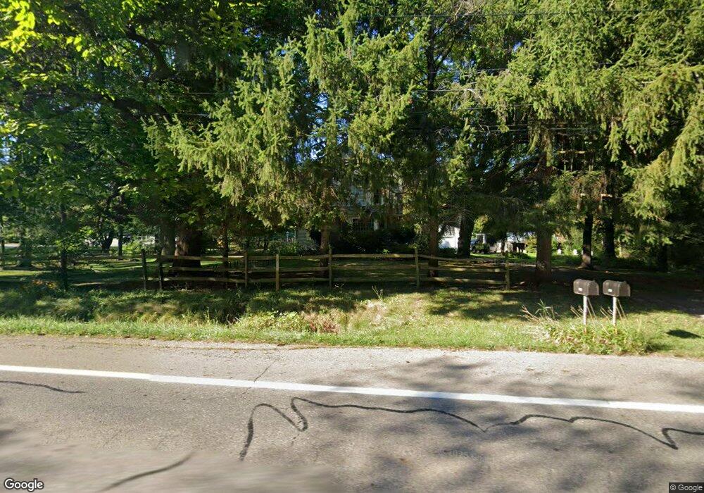
This home is located at 5965 State Route 82, Hiram, OH 44234 and is currently estimated at $380,622, approximately $157 per square foot. 5965 State Route 82 is a home located in Portage County with nearby schools including Crestwood Primary School, Crestwood Intermediate School, and Crestwood Middle School.
Ownership History
Date
Name
Owned For
Owner Type
Purchase Details
Closed on
Feb 5, 2018
Sold by
Monreal Shawnya
Bought by
Monreal Michael W and Monreal Shawnya
Current Estimated Value
Purchase Details
Closed on
Mar 10, 2009
Sold by
Bailey Gary L and Bailey Susan A
Bought by
Monreal Shawnya
Purchase Details
Closed on
May 21, 2002
Sold by
Angle John E and Angle Joyce A
Bought by
Bailey Gary L
Home Financials for this Owner
Home Financials are based on the most recent Mortgage that was taken out on this home.
Original Mortgage
$129,900
Interest Rate
7.07%
Purchase Details
Closed on
Aug 7, 1987
Bought by
Angle John E and Angle Joyce A
Create a Home Valuation Report for This Property
The Home Valuation Report is an in-depth analysis detailing your home's value as well as a comparison with similar homes in the area
Home Values in the Area
Average Home Value in this Area
Purchase History
| Date | Buyer | Sale Price | Title Company |
|---|---|---|---|
| Monreal Michael W | -- | -- | |
| Monreal Michael W | -- | -- | |
| Monreal Shawnya | -- | Pta | |
| Bailey Gary L | $139,900 | Approved Statewide Title Age | |
| Angle John E | $63,000 | -- |
Source: Public Records
Mortgage History
| Date | Status | Borrower | Loan Amount |
|---|---|---|---|
| Previous Owner | Bailey Gary L | $129,900 |
Source: Public Records
Tax History Compared to Growth
Tax History
| Year | Tax Paid | Tax Assessment Tax Assessment Total Assessment is a certain percentage of the fair market value that is determined by local assessors to be the total taxable value of land and additions on the property. | Land | Improvement |
|---|---|---|---|---|
| 2024 | $4,291 | $109,200 | $17,990 | $91,210 |
| 2023 | $3,295 | $75,500 | $14,390 | $61,110 |
| 2022 | $3,326 | $75,500 | $14,390 | $61,110 |
| 2021 | $3,417 | $75,500 | $14,390 | $61,110 |
| 2020 | $3,075 | $64,900 | $14,390 | $50,510 |
| 2019 | $3,042 | $64,900 | $14,390 | $50,510 |
| 2018 | $2,701 | $56,250 | $14,390 | $41,860 |
| 2017 | $2,701 | $56,250 | $14,390 | $41,860 |
| 2016 | $2,693 | $56,250 | $14,390 | $41,860 |
| 2015 | $2,735 | $56,250 | $14,390 | $41,860 |
| 2014 | $2,751 | $56,250 | $14,390 | $41,860 |
| 2013 | $2,690 | $56,250 | $14,390 | $41,860 |
Source: Public Records
Map
Nearby Homes
- SR 82 Ohio 82
- 6846 Wakefield Rd
- 0 Garfield Rd
- 10685 Limeridge Rd
- 7000 Village Way Dr
- 7050 Village Way Dr
- 7076 Village Way Dr
- 4791 Pioneer Trail
- 11383 Rolling Meadows Dr
- 4620 Pioneer Trail
- 0 Ambler Ln Unit 5142203
- 11131 State Route 44
- 11470 Bowen Rd
- 19109 Tilden Rd
- 4364 Pioneer Trail
- 6994 Hankee Rd
- Lot 7 Wheeler Rd
- Lot 14 Wheeler Rd
- 12167 Mantua Center Rd
- 7972 State Route 305
- 5955 State Route 82
- 5993 State Route 82
- 5956 Ohio 82
- 5917 State Route 82
- 5956 State Route 82
- 5956 State Route 82
- 5938 State Route 82
- 5986 State Route 82
- 5994 State Route 82
- 5880 State Route 82
- 6023 State Route 82
- 5866 State Route 82
- 5891 State Route 82
- 6063 State Route 82
- 6038 State Route 82
- 6008 State Route 82
- 6058 State Route 82
- 6048 Ohio 82
- 6048 State Route 82
- 6068 State Route 82